- Nabi Salih
-
Nabi Salih Other transcription(s) - Arabic النبي صالح - Also spelled an-Nabi Salih (official)
Nabi Saleh (unofficial) Location of Nabi Salih within the Palestinian territories
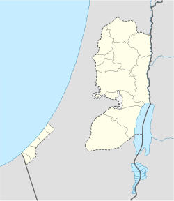
 Nabi Salih
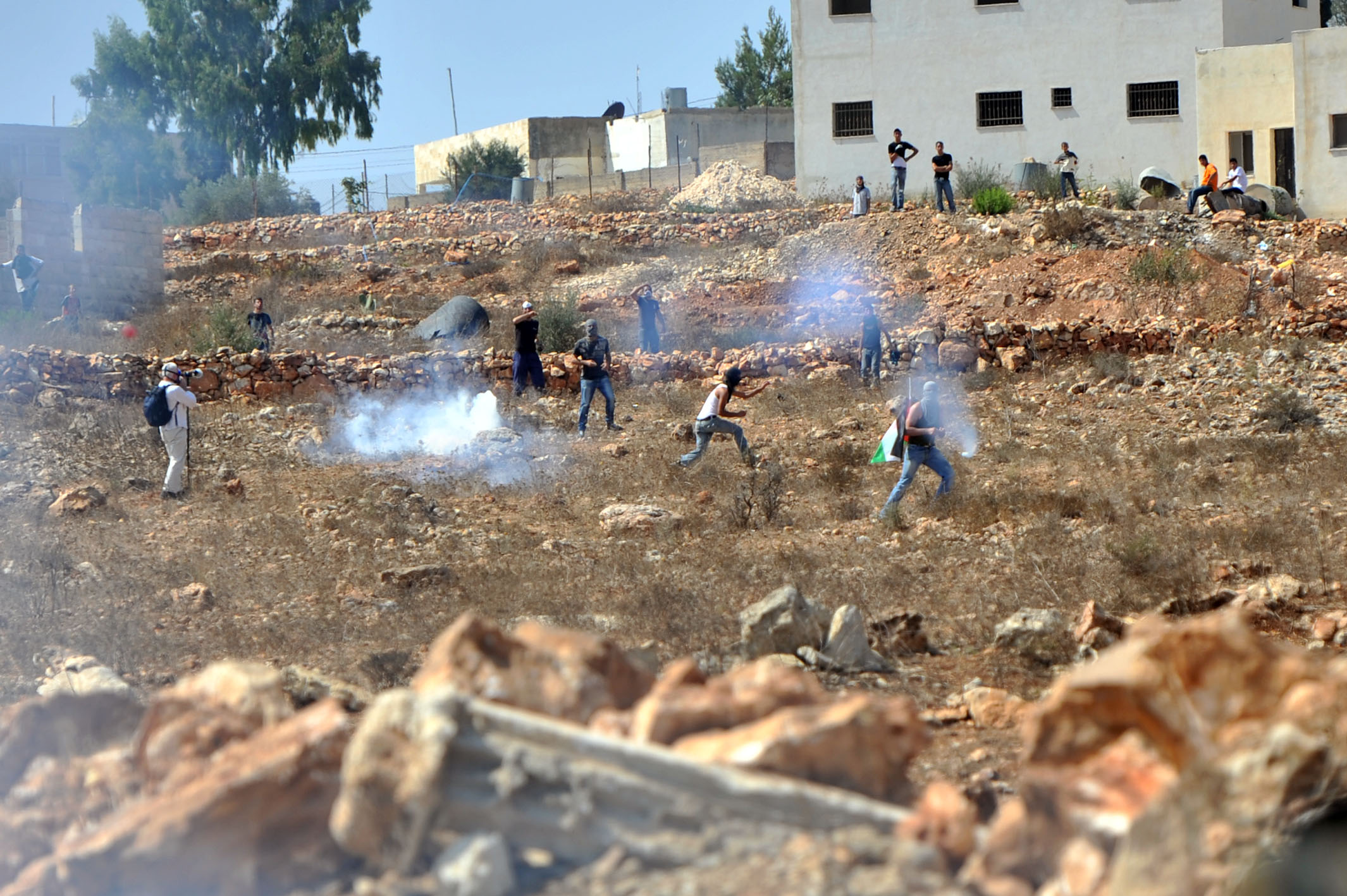
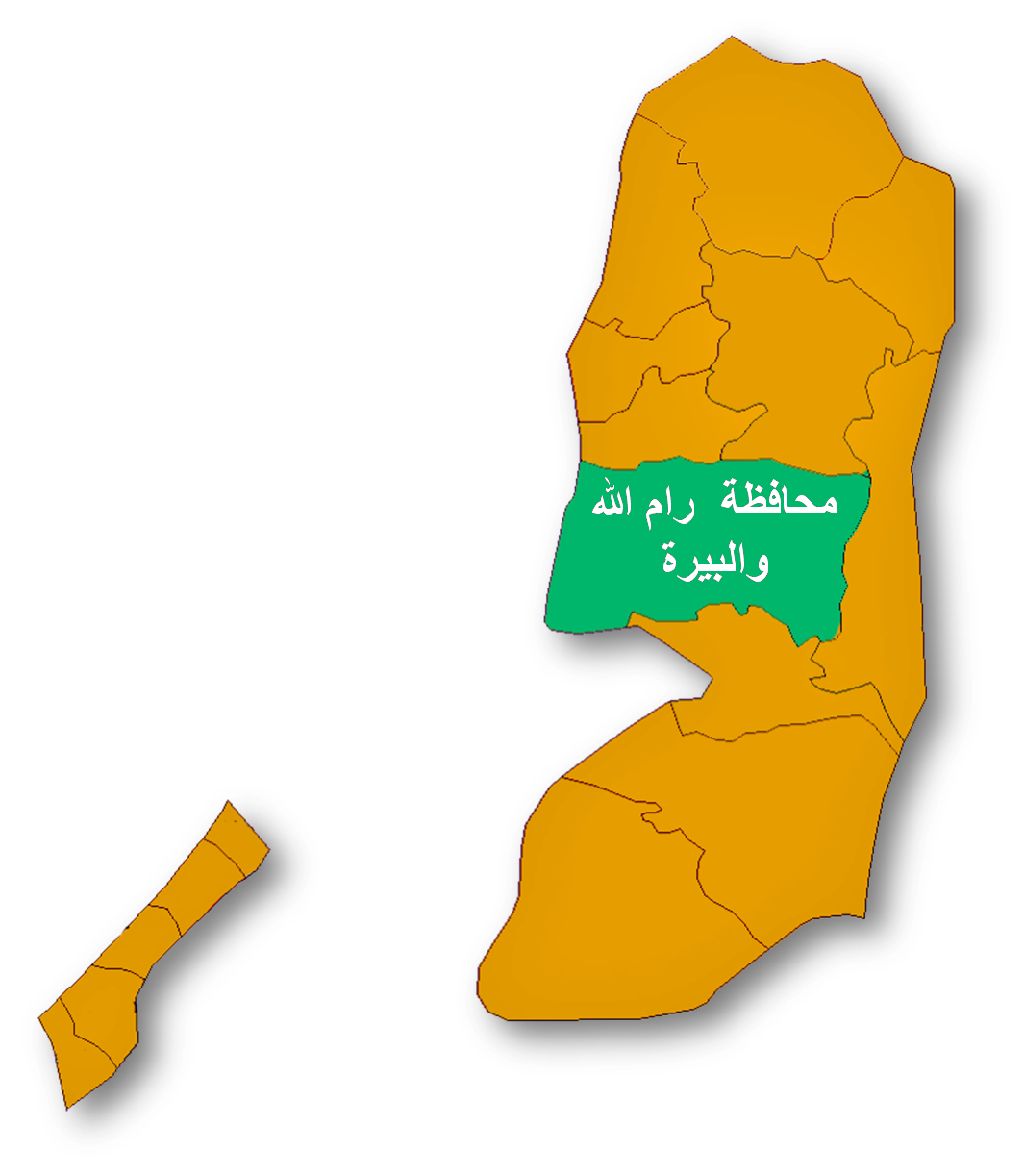
Coordinates: 32°01′0.15″N 35°7′28.56″E / 32.0167083°N 35.1246°ECoordinates: 32°01′0.15″N 35°7′28.56″E / 32.0167083°N 35.1246°E Governorate Ramallah & al-Bireh Government - Type Local Development Committee Area - Jurisdiction 2,797 dunams (2.8 km2 / 1.1 sq mi) Population (2007) - Jurisdiction 534 Name meaning "The Righteous Prophet"  Rioters clashing with IDF forces near Nabi Salih, 2011
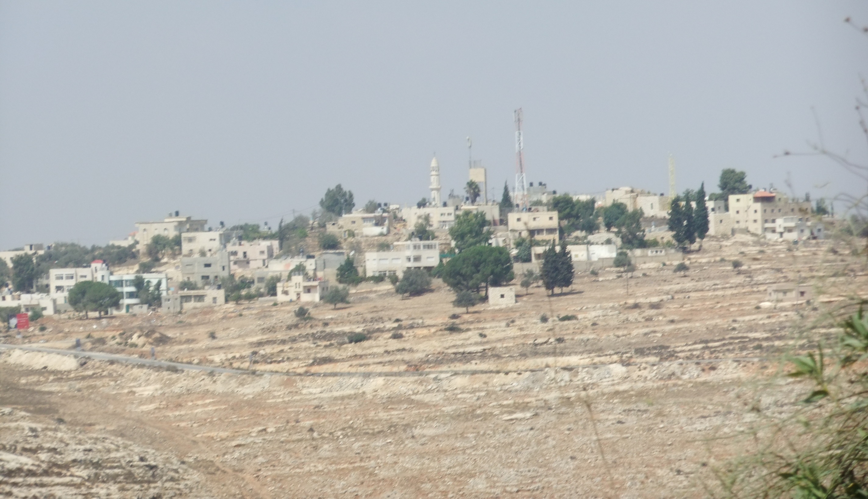
Nabi Salih (Arabic: النبي صالح) is a small Palestinian village of over 530 in the Ramallah and al-Bireh Governorate in the central West Bank.
Contents
Shrine of Salih
The residents of Nabi Salih identify a blue-color-domed building complex with the shrine of the prophet Salih (Biblical Shelah). It was built in the 19th century during Ottoman rule. It was situated on the remains of a Crusader structure, which was presumably built atop the ruins of a Byzantine-era church. The remains of the Crusader-Byzantine structure, include apses of a three-isle chapel located behind the shrine complex.[1]
In 2003, under the supervision of architect Yara al-Sharif, the complex was restored. It cost $63,000, primarily funded by Sweden. The praying hall and tomb room are owned by the Islamic waqf authority, but is rented by the Nabi Salih Cultural Centre. Currently, the complex is composed of three floors (including an underground floor) containing the tomb, a large praying room, an olive press, a water well, a classroom, a multipurpose hall, a double-vaulted lecture room, a courtyard and two front and back terraces. All entrances are semi-circular pointed arches. The An Nabi Salih Cultural Centre serves as the most important structure in the village.[1]
Geography
The village is situated at an elevation of 570 meters above sea level along the mountainous chain running down the West Bank in southern Samaria. Nabi Salih is located 20 kilometers northwest the cities of Ramallah and al-Bireh.[2] It is adjacent of the Beit Rima part of Bani Zeid in the northwest. Other nearby localities include Kafr Ein in the north, Deir as-Sudan to the northeast, 'Abud to the west, and Deir Nidham to the southwest.[3]
In a 1945 land and population survey by Sami Hadawi, Nabi Salih had a total land area of 2,846 dunams, of which 2,797 was Arab-owned, the remainder public-owned. The built-up area of the village only constituted 11 dunams, while 735 dunams were planted with olive groves.[4]
Demographics
The most prominent family in Nabi Salih is Tamimi. In a 1922 survey by the British Mandate of Palestine, there were 105 people living in Nabi Salih, rising to 144 in the 1931 census.[2] In Hadawi's survey, Nabi Salih had 170 inhabitants in 1945.[4] In 1961, the population was 337, but decreased substantially after the Six-Day War in 1967, due to residents fleeing the site towards other Palestinian localities or Jordan. In 1982, the population reached 179.[2]
In the 1997 census by the Palestinian Central Bureau of Statistics (PCBS), Nabi Salih had a population of 371. Palestinian refugees constituted just 4.3% of the inhabitants.[5] According to the PCBS, the village had a population of 524 inhabitants in mid-year 2006.[6] The 2007 PCBS census recorded a population of 534.[7]
Ein Al Qaws Spring
Near the village the is a natural spring named Ein Al Qaws ("the Bow Spring") which is owned by an individual of the village, mr. Bashir Tamimi. In 2009 settlers from the nearby illegal settlement of Halamish took control over the spring and it's surroundings and prevented Palestinian access to their land. Subsequently, people of Nabi Salih and the nearby village of Dir Nizam began regular Friday protests for the spring, and against the Israeli occupation in general.[8][9]
IDF tactics in Nabi Saleh
In February of 2011, B'Tselem volunteers filmed actions of IDF soldiers, who came to the homes of Arab residents, woke all the children over the age of 10 and photographed them.[10]
According to a B'Tselem report[11] released in September 2011 Israel’s security forces have infringed the rights of the Palestinian demonstrators in Nabi Saleh in three fundamental ways. - Violation of the right to demonstrate. B'Tselem's documentation indicates that Israel does not recognize the right of a-Nabi Saleh’s residents to demonstrate. Israeli security forces declares the demonstration illegal at the outset, sometimes even before the procession begins. The Israeli military routinely issues orders declaring the entire village a closed military area, blocks the roads leading to it, thus denying people coming from outside the village their right to join in the demonstration. - Harm to the civilian population. The army and the Border Police handles the demonstration deploying great amount of forces at the main intersection of the village and using a disproportionate amount of means to disperse the demonstrations. This occurs also when the demonstrators are nonviolent and pose no threat. The forces fire enormous quantities of tear gas inside the built-up area of the village, which is home to hundreds of persons. - restrictions on movement in the area that creates difficulties for residents of all the nearby villages every Friday.
See also
References
- ^ a b Bshara, Khaldun. An Nabi Saleh Cultural Centre, An Nabi Saleh Riwaq Centre and RehabiMed.
- ^ a b c Welcome to al-Nabi Salih Palestine Remembered.
- ^ Satellite view of al-Nabi Salih
- ^ a b Hadawi, Sami. (1970) Ramallah District Stats p.65.
- ^ Palestinian Population by Locality and Refugee Status Palestinian Central Bureau of Statistics (PCBS).
- ^ Projected Mid -Year Population for Ramallah & Al Bireh Governorate by Locality 2004- 2006 Palestinian Central Bureau of Statistics (PCBS).
- ^ 2007 PCBS Census. Palestinian Central Bureau of Statistics. p.113.
- ^ A spa for Samaria. The 'white intifada' is spreading. After Bil'in and Na'alin, the village of Nabi Saleh has joined the popular protest. Every Friday, villagers demonstrate against the expropriation of a spring. By Gideon Levy, 22.04.10, Haaretz
- ^ Protest in Nabi Salih - Israeli Channel 10, January 8th 2010
- ^ B'Tselem report, February 15 2011 ,
- ^ B'Tselem. "Show of Force: Israeli Military Conduct in Weekly Demonstrations in a-Nabi Saleh". report. B'Tselem. http://www.btselem.org/publications/summaries/201109_show_of_force. Retrieved 6 October 2011.
External links
- Mighty Israel and its quest to quash Palestinian popular protest The military has delegated its best soldiers, investigators and judges to safeguarding Israel against the organizer of Nabi Saleh's popular uprising, by Amira Hass, 28.03.11, Haaretz
- Brian Wood. Nabi Saleh village, Palestine
Ramallah and al-Bireh Governorate Cities 

Municipalities Bani Zeid · Bani Zeid al-Sharqiya · Beit Liqya · Bir Zeit · Deir Dibwan · al-Mazra'a ash-Sharqiya · Ni'lin · Silwad · Sinjil · Turmus Ayya · al-Zaitounah (Abu Shukhaidem · al-Mazra'a al-Qibliya) · al-Ittihad (Beitillu · Deir 'Ammar · Jammala) · TaybehVillage councils Aboud · Abu Qash · Abwein · Ajjul · 'Atara · Beitin · Beit Ur al-Fauqa · Beit Ur al-Tahta · Bil'in · Beit Sira · Budrus · Burham · Burqa · Deir Ibzi · Deir Jarir · Deir Abu Mash'al · Deir Nidham · Deir Qaddis · Deir as-Sudan · Dura al-Qar' · Ein 'Arik · Ein Qiniya · Ein Siniya · Ein Yabrud · al-Janiya · Jifna · Kafr Ein · Kafr Malik · Kafr Ni'ma · Kharbatha al-Misbah · Kharbatha Bani Harith · Khirbet Abu Falah · Kobar · al-Lubban al-Gharbi · al-Midya · al-Mughayyir · Nabi Salih · Qarawat Bani Zeid · Qibya · Rammun · Rantis · Ras Karkar · Saffa · Shuqba · Surda · YabrudRefugee camps Categories:- Ramallah and al-Bireh Governorate
- Villages in the West Bank

Wikimedia Foundation. 2010.