- Beit Sira
Infobox Palestinian Authority muni
name=Beit Sira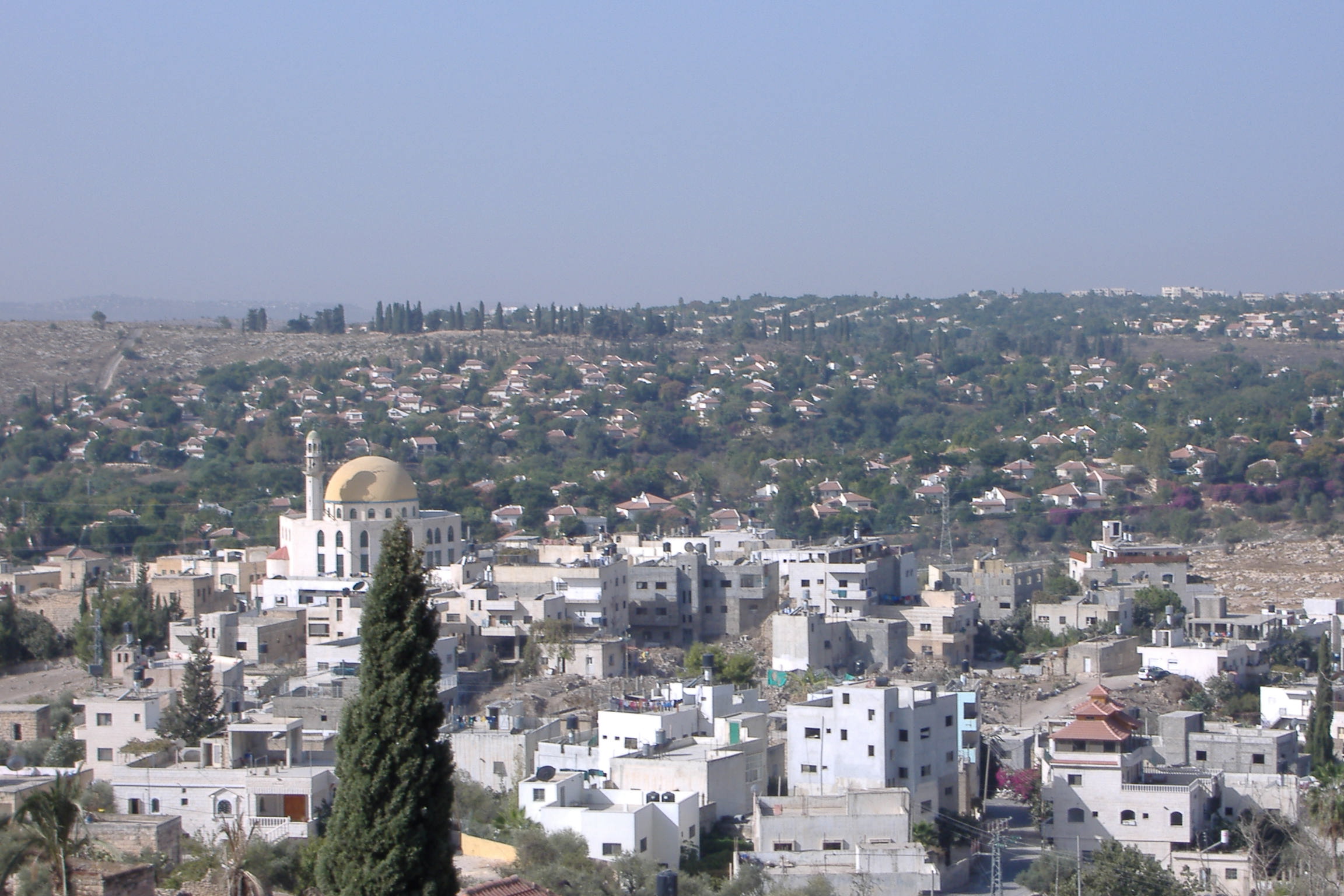
imgsize=250
caption=View of Beit Sira
arname=بيت سيرا
meaning=
founded=
type=mund
typefrom=
altOffSp=Bayt Sira
altUnoSp=
governorate=rb
latd=31|latm=53|lats=14.71|latNS=N
longd=35 |longm=02|longs=38.73|longEW=E
population=2,840
popyear=2006
area=3,120
areakm=3.1
mayor=Beit Sira ( _ar. بيت سيرا) is a Palestinian village in the central
West Bank , located 22 kilometers west ofRamallah and is a part of theRamallah and al-Bireh Governorate . The village is situated along the Green Line and during the1948 Arab-Israeli War , around 4,000dunam s of its land became a part of the "No-Man's Land " strip between the north-central West Bank andIsrael . Currently Beit Sira's jurisdiction is 3,120 dunams, of which 441 dunams are built-up areas and the remainder open spaces for future construction or agricultural land. [ [http://www.poica.org/editor/case_studies/view.php?recordID=410 Beit Sira: A Palestinian Village on the verge of diminishing] Applied Research Institute - Jerusalem.2004-07-05 .]In 1922, Beit Sira had a population of 381. [ [http://www.palestineremembered.com/GeoPoints/Bayt_Sira_886/index.html Welcome to Bayt Sira] Palestine Remembered.] According to the
Palestinian Central Bureau of Statistics , Beit Sira had a population of 2,840 inhabitants in 2006. [ [http://www.pcbs.gov.ps/Portals/_pcbs/populati/pop07.aspx Projected Mid -Year Population for Ramallah & Al Bireh Governorate by Locality 2004- 2006]Palestinian Central Bureau of Statistics .]References
Wikimedia Foundation. 2010.