- Petawawa
-
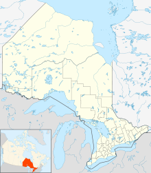
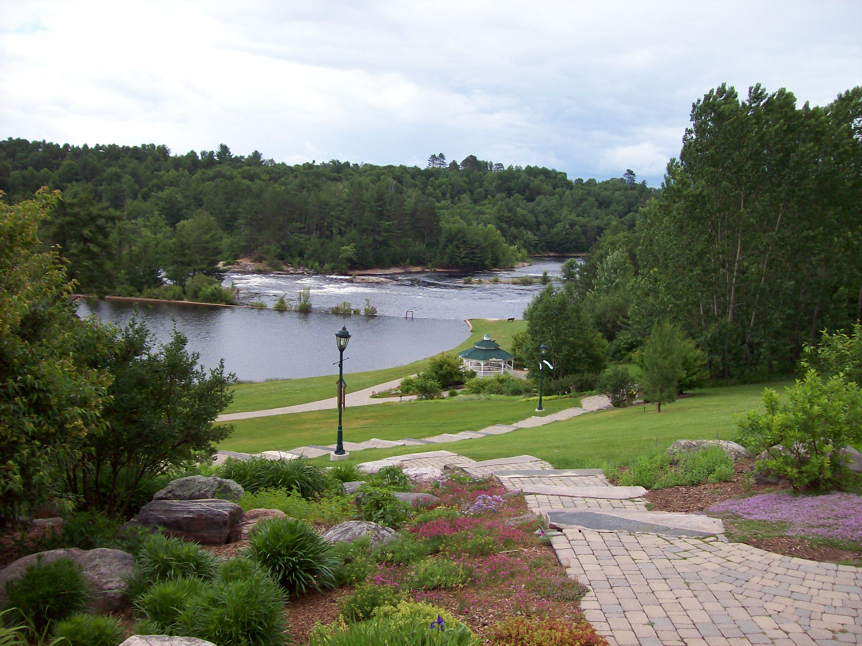
Town of Petawawa — Municipality — Emerald Necklace Trail and the Petawawa River
 Town of Petawawa
Coordinates: 45°54′N 77°17′W / 45.9°N 77.283°W Country  Canada
Province  Ontario
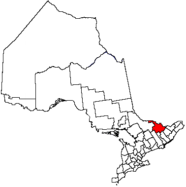
County Renfrew County Incorporated (town) July 1, 1997 Area(Statistics Canada) – Land 164.68 km2 (63.6 sq mi) Population (2006) – Total 14,651 – Density 89.0/km2 (230.5/sq mi) Source: Canada 2006 Census Time zone EST (UTC-5) – Summer (DST) EDT (UTC-4) Website town.petawawa.on.ca Petawawa is a town located in eastern portion of Southern Ontario. Situated in the Ottawa Valley, with a population of 14,651 (2006 Census). Petawawa is the most populous municipality in Renfrew County.
Contents
Geography
Petawawa is located at latitude 45°54' north and longitude 77°17' west.
The town lies on the west bank of the Ottawa River, at the confluence of the Petawawa River. Situated across the Ottawa River from the Laurentian Mountains, and east of Algonquin Park, Petawawa is a favourite stop for outdoor enthusiasts, anglers, hikers, canoers, and kayakers.
Transportation
Ontario Highway 17, Greyhound bus lines, and the local commercial airport (Pembroke Airport) located in Petawawa, all provide access to this town.
Primary industries
Petawawa's primary employer is the Canadian Government. Most of Petawawa's residents work as civilian employees, or as members of the Canadian Forces at CFB Petawawa which is home to 2 Canadian Mechanized Brigade Group.[1]
Another major employer is Atomic Energy of Canada Limited located nearby in Chalk River.[2]
History
The earliest settlement in the Petawawa area was inhabited by the Algonquin First Nation. The name of Petawawa originates from a local Algonquin language word, biidaawewe, meaning "where one hears a noise like this".
Census Population 1951 1,017 1961 4,509 1971 5,784 1981 5,520 1991 5,793 2001 14,398 2006 14,651 In the late 19th century, the area was surveyed and settled by emigres from Scotland, Ireland and Germany. The land was unsuitable for crops, but the heavily forested surroundings were useful for logging. The Canadian military acquired land in the area in 1905, which later became Canadian Forces Base Petawawa. During this period it was used as an internment camp for German POWs during World War II. Later, it became home to the Canadian Airborne Regiment before it was disbanded in 1995. Today, it is one of Canada's largest ground forces bases with members deployed throughout the world on various missions supporting the United Nations in peacekeeping or the War on Terror.
Petawawa was incorporated as a township in 1865. In 1961, the urban area of Petawawa was incorporated as a separate village. On July 1, 1997, the village and township re-amalgamated to form the Town of Petawawa.
Climate
Climate data for Petawawa Month Jan Feb Mar Apr May Jun Jul Aug Sep Oct Nov Dec Year Record high °C (°F) 10
(50)11.5
(52.7)24.5
(76.1)32
(90)33.9
(93.0)36.4
(97.5)38.5
(101.3)38.9
(102.0)33.3
(91.9)28.5
(83.3)19.2
(66.6)15.4
(59.7)38.9
(102.0)Average high °C (°F) −6.4
(20.5)−4.4
(24.1)1.9
(35.4)10.8
(51.4)19.3
(66.7)23.3
(73.9)26.3
(79.3)24.5
(76.1)19
(66)11.9
(53.4)4
(39)−3.9
(25.0)10.5 Average low °C (°F) −19.1
(−2.4)−17.8
(0.0)−10.6
(12.9)−2.1
(28.2)4.5
(40.1)8.9
(48.0)11.8
(53.2)10.8
(51.4)6
(43)0.6
(33.1)−4.8
(23.4)−14.9
(5.2)−2.2 Record low °C (°F) −41.1
(−42.0)−39.4
(−38.9)−33.8
(−28.8)−17.6
(0.3)−7.5
(18.5)−2.5
(27.5)2
(36)−1.1
(30.0)−5.2
(22.6)−12.6
(9.3)−24.8
(−12.6)−37.9
(−36.2)−41.1
(−42.0)Precipitation mm (inches) 52
(2.05)46.4
(1.827)60.4
(2.378)61.8
(2.433)68.5
(2.697)81.3
(3.201)76.5
(3.012)81.1
(3.193)79
(3.11)75.1
(2.957)67.2
(2.646)67.1
(2.642)816.2
(32.134)Source: Environment Canada[3] Communities
 View from Petawawa ski hill
In addition to the primary urban core of Petawawa, the town also comprises the communities of Black Bay, Kramer Subdivision, Laurentian View, McGuire, Petawawa Point, Pine Meadows, Pine Ridge, Pinehurst Estates and Riverview.
See also
References
External links
- Town of Petawawa, Ontario Official Website
- Department of National Defence Canada - CFB Petawawa
- The Royal Canadian Legion Branch 517, Petawawa Ontario
- Petawawa Public Library

Laurentian Hills Ottawa River /
Sheenboro, QuebecLaurentian Hills 
Ottawa River /
L'Isle-aux-Allumettes, Quebec Petawawa

Laurentian Valley Cities Pembroke 1
Towns Townships First Nations reserves See also: Communities in Renfrew County • Census divisions of Ontario
1 Separated municipality but remains a census subdivision of the countyCategories:- Municipalities in Renfrew County, Ontario
- Towns in Ontario


Wikimedia Foundation. 2010.