- Petawawa, Ontario
Infobox Settlement
official_name = Town of Petawawa
imagesize = 230px
image_caption = Emerald Necklace Trail and the Petawawa River
flag_size = 120x100px
image_shield =
shield_size = 120x100px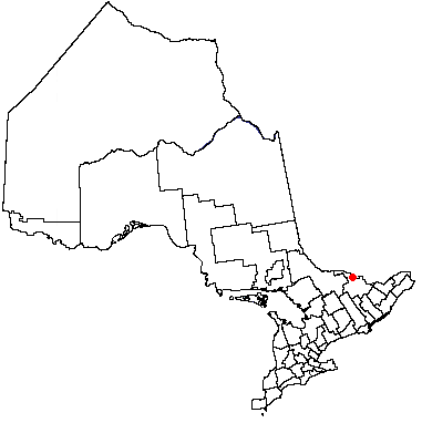
mapsize = 230px
subdivision_type = Country
subdivision_name =Canada
subdivision_type1 = Province
subdivision_name1 =Ontario
subdivision_type2 = County
subdivision_name2 = Renfrew County
established_title = Incorporated (town)
established_date = July 1, 1997
area_footnotes = (Statistics Canada )
area_total_km2 =
area_land_km2 = 164.68
area_water_km2 =
population_as_of = 2006
population_note = Source:Canada 2006 Census
settlement_type = Municipality
population_total = 14651
population_density_km2 = 89.0
timezone = EST
utc_offset = -5
timezone_DST = EDT
utc_offset_DST = -4
latd = 45 |latm = 54 |latNS = N |longd = 77 |longm = 17 |longEW = W
website = [http://town.petawawa.on.ca town.petawawa.on.ca]Petawawa is a
town located in theCanadian province ofOntario . Situated in theOttawa Valley , with apopulation of 14,651 (2006 Census). Petawawa is the most populousmunicipality in Renfrew County.Geography
Latitude 45°54' North andLongitude 77°17' WestPetawawa is scenically located on the west bank of the
Ottawa River where it is intersected by thePetawawa River . Situated across the Ottawa River from theLaurentian Mountains , and east ofAlgonquin Park ,Petawawa is a favourite stop for outdoor enthusiasts,anglers , hikers,canoe rs, andkayak ers.Transportation
Ontario Highway 17, Greyhound bus lines, and the local commercial airport (
Pembroke Airport ) located in Petawawa, all provide access to this town.Primary industries
Petawawa's primary employer is the
Canadian Government . Most of Petawawa's residents work as civilian employees, or as members of theCanadian Forces atCFB Petawawa which is home to 2 Canadian Mechanized Brigade Group.Another major employer is
Atomic Energy of Canada Limited located nearby in Chalk River.History
The earliest settlement in the Petawawa area was inhabited by the
Algonquin First Nation . In fact the name of Petawawa comes from a localAlgonquian language word "biidaawewe" meaning "where one hears a noise like this".In the late 19th century the area was surveyed, and settled by Europeans from
Scotland ,Ireland andGermany . The land was unsuitable for crops, but the heavily forested surroundings were useful for logging. TheCanadian military acquired land in the area in 1905, which later became Canadian Forces Base Petawawa. During this period it was used as an internment camp for GermanPOW s duringWorld War II . Later, it became home to theCanadian Airborne Regiment before it was disbanded in 1996. Today, it is one of Canada's largest ground forces base with members deployed to all corners of the world on various mission supporting theUnited Nations inpeacekeeping or theWar on Terror .Petawawa was incorporated as a township in 1865. In 1961, the urban area of Petawawa was incorporated as a separate
village . OnJuly 1 ,1997 , the village and township re-amalgamated to form the Town of Petawawa.Communities
In addition to the primary urban core of Petawawa, the town also comprises the communities of Black Bay, Kramer Subdivision, Laurentian View, McGuire, Petawawa Point, Pine Meadows, Pine Ridge, Pinehurst Estates and Riverview.
ee also
*
List of communities in Ontario External links
* [http://town.petawawa.on.ca Town of Petawawa, Ontario Official Website]
* [http://www.army.dnd.ca/CFB_PETAWAWA/ Department of National Defence Canada - CFB Petawawa]
* [http://www.petawawalegion.ca The Royal Canadian Legion Branch 517, Petawawa Ontario]
* [http://www.petawawapubliclibrary.ca Petawawa Public Library]Geographic Location (8-way)
Centre = Petawawa
North =

Wikimedia Foundation. 2010.