- McNab/Braeside
-
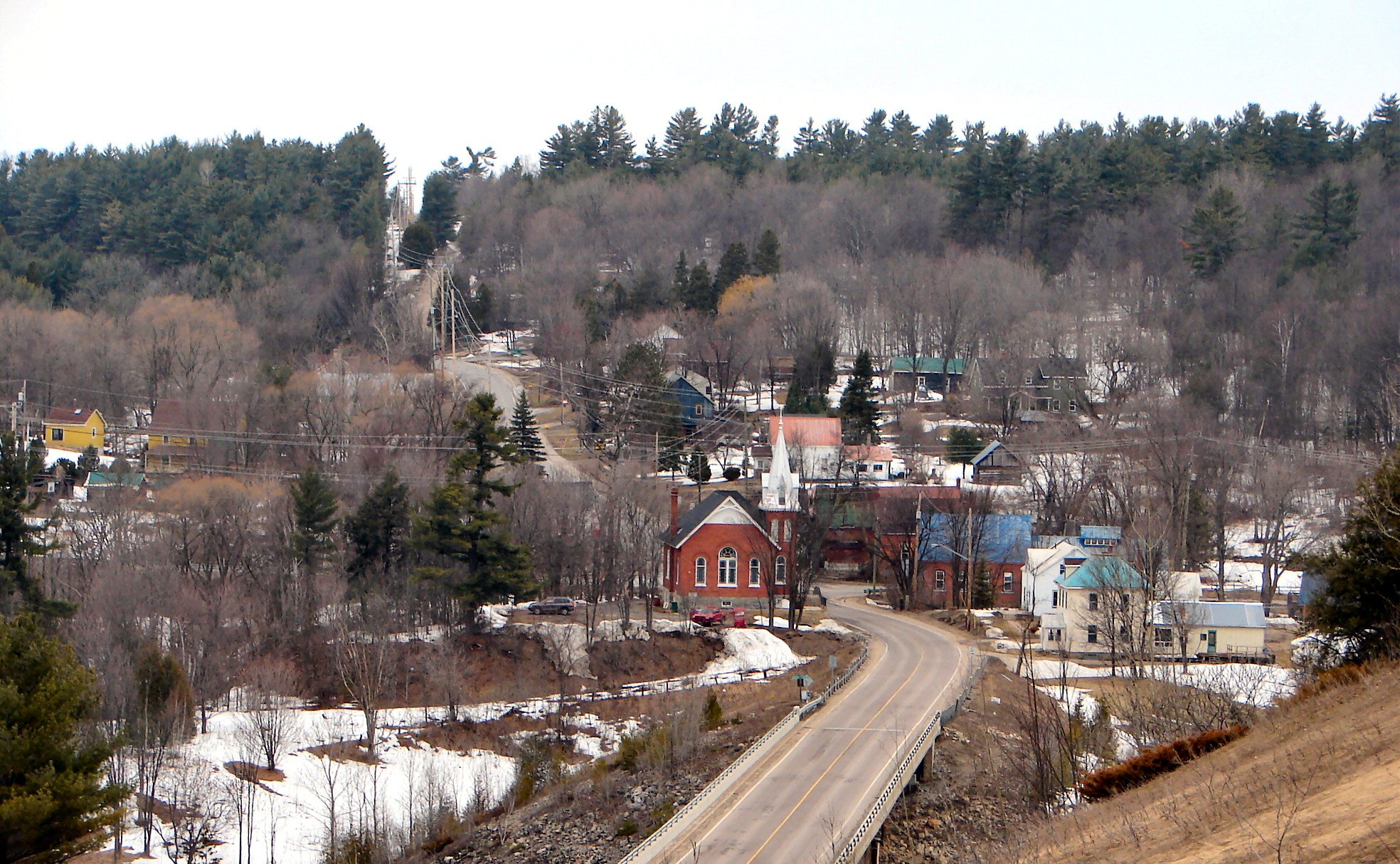
McNab/Braeside Countryside near Braeside
Motto: "Fair Is The Land, Strong The People" Coordinates: 45°27′N 76°30′W / 45.45°N 76.5°WCoordinates: 45°27′N 76°30′W / 45.45°N 76.5°W Country Canada Province Ontario County Renfrew Incorporation January 1, 1998 Government – Type Township – Mayor Mary M. Campbell Area[1] – Land 253.87 km2 (98 sq mi) Population (2006)[1] – Total 7,222 – Density 28.4/km2 (73.6/sq mi) Time zone EST (UTC−5) – Summer (DST) EDT (UTC−4) Postal Code Area code(s) 613 Website www.mcnabbraeside.com 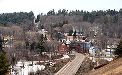 Burnstown along the Madawaska River.
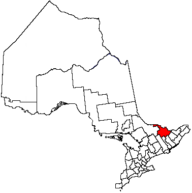
McNab/Braeside is a township in eastern Ontario, Canada, on the south shore of Lac des Chats (part of the Ottawa River), straddling the lower Madawaska River in Renfrew County.
The township was created on January 1, 1998, when the Village of Braeside amalgamated with McNab Township.
Mayor Mary M. Campbell was elected in 2006 and re-elected in 2010.
Contents
Communities
- Braeside
- Burnstown
- Clay Bank
- Clay Valley
- Dewars
- Glasgow Station
- Lochwinnoch
- Lundys Corners
- Pinegrove
- Sand Point
- Stewartville
- Waba
- White Lake
Demographics
According to the 2006 census:[1]
- Population: 7,222
- % Change (2001–2006): 5.5
- Dwellings: 2,934
- Area (km2): 253.87
- Density (persons per km2): 28.4
External links
References
- ^ a b c Statistics Canada, 2006 Community Profiles: Community highlights for McNab/Braeside. Retrieved on January 29, 2009.

Horton Ottawa River / Bristol, Quebec Greater Madawaska 
Arnprior  McNab/Braeside

Lanark Highlands Mississippi Mills Cities Pembroke 1
Towns Townships First Nations reserves See also: Communities in Renfrew County • Census divisions of Ontario
1 Separated municipality but remains a census subdivision of the countyCategories:- Municipalities in Renfrew County, Ontario
- Township municipalities in Ontario
- Eastern Ontario geography stubs

Wikimedia Foundation. 2010.