- Admaston/Bromley
-
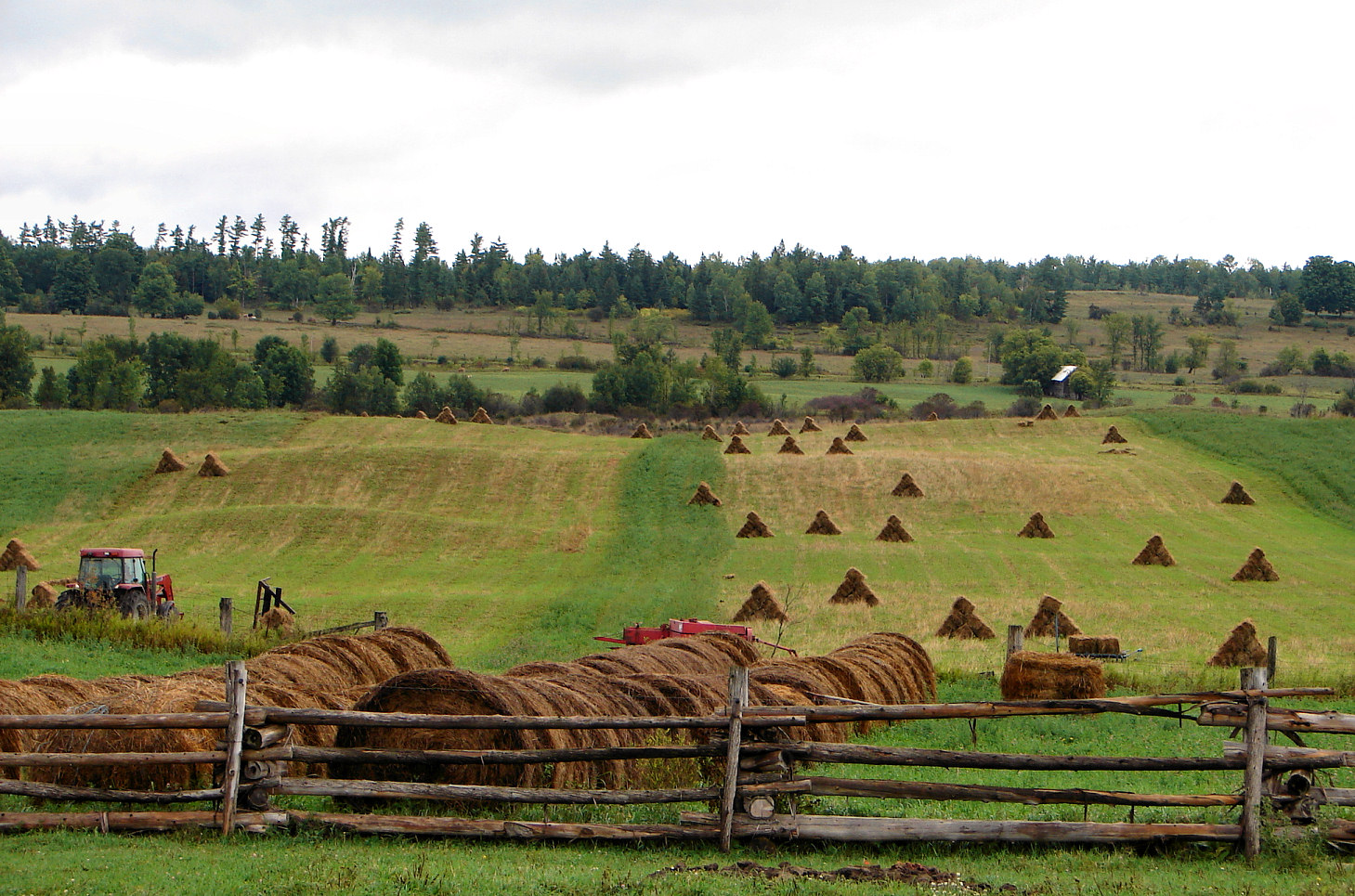
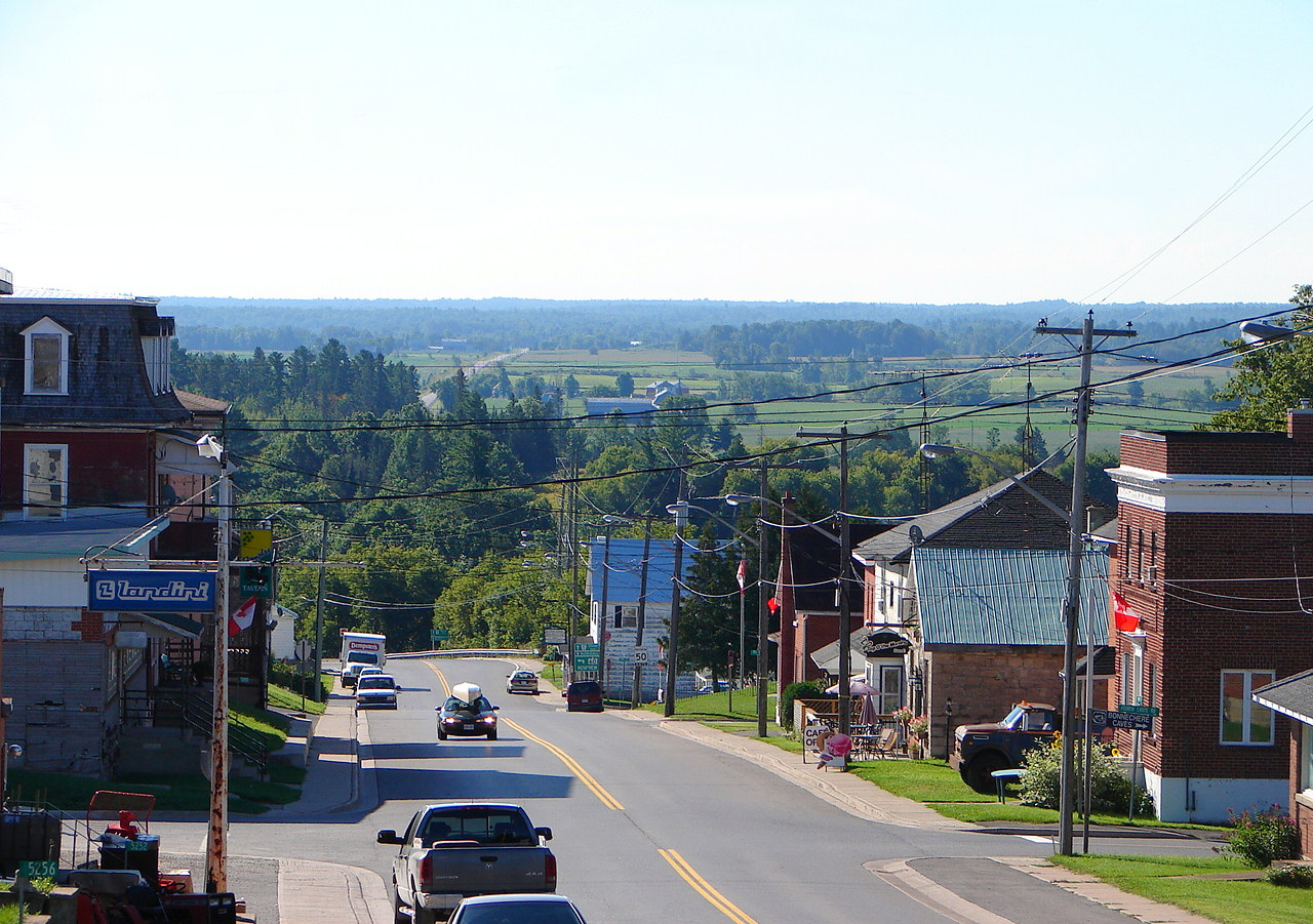
Admaston/Bromley — Township — Typical countryside near Douglas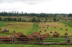
Coordinates: 45°30′N 76°50′W / 45.5°N 76.833°WCoordinates: 45°30′N 76°50′W / 45.5°N 76.833°W Country  Canada
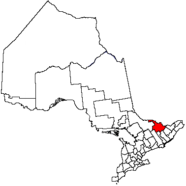
Province  Ontario
County Renfrew Incorporated January 1, 2000 Government – Type Township – Mayor Raye-Anne Briscoe – MP Cheryl Gallant (CPC) – MPP John Yakabuski (OPC) Area[1] – Land 520.50 km2 (201 sq mi) Population (2006)[1] – Total 2,716 – Density 5.2/km2 (13.5/sq mi) Time zone EST (UTC-5) – Summer (DST) EDT (UTC-4) Postal code K0J Area code(s) 613 Website www.admastonbromley.com Admaston Bromley is a township in eastern Ontario, Canada, in the County of Renfrew. It was formed on January 1, 2000, when Admaston and Bromley Townships were amalgamated.
Communities
The township comprises the communities of Admaston, Balsam Hill, Belangers Corners, Bromley, Bulgers Corners, Connaught, Douglas, Ferguslea, Fremo Corners, Kellys Corner, Martins Corner, McDougall, Moores Lake, Mount St. Patrick, Northcote, Oakgrove, Osceola, Payne, Pine Valley, Renfrew Junction, Rosebank, Shamrock and Wolftown.
Demographics
According to the Canada 2006 Census:
- Population: 2,716
- % Change (1996-2001): -3.8
- Dwellings (excluding seasonal cottages): 990
- Area (km².): 520.50
- Density (persons per km².): 5.2
- Languages:
- English as first language: 89%
- French as first language: 1%
- English and French as first language: <1%
- Other as first language: 9%
According to the Canada 2001 Census:
- Population: 2,824
- % Change (1996-2001): -0.5
- Dwellings: 1,171
- Area (km².): 520.51
- Density (persons per km².): 5.4
Population in 1996:
- Admaston Township: 1648
- Bromley Township: 1189
Population in 1991:
- Admaston Township: 1551
- Bromley Township: 1201
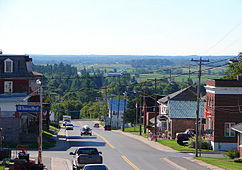 Douglas
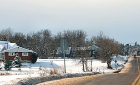 Hamlet of Shamrock
References

Laurentian Valley Whitewater Region North Algona Wilberforce, Bonnechere Valley 
Horton, Renfrew  Admaston Bromley

Greater Madawaska Cities Pembroke 1
Towns Townships First Nations reserves See also: Communities in Renfrew County • Census divisions of Ontario
1 Separated municipality but remains a census subdivision of the countyCategories:- Municipalities in Renfrew County, Ontario
- Township municipalities in Ontario
- Eastern Ontario geography stubs

Wikimedia Foundation. 2010.