- Greater Madawaska, Ontario
-
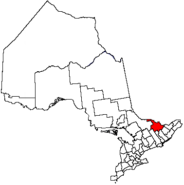
Greater Madawaska — Township — Dacre, on the northern edge of the township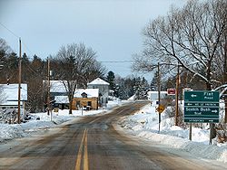 Location of Greater Madawaska in Ontario
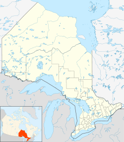
 Greater Madawaska
Coordinates: 45°18′N 76°43′W / 45.3°N 76.717°W[1] Country Canada Province Ontario County Renfrew Incorporation January 1, 2001 Government – Type Township – Reeve Peter Emon Area[2] – Land 1,011.67 km2 (390.6 sq mi) Population (2006)[2] – Total 2,751 – Density 2.7/km2 (7/sq mi) Time zone EST (UTC-5) – Summer (DST) EDT (UTC-4) Postal Code Area code(s) 613, 343 Website townshipofgreatermadawaska.com  Griffith, Renfrew County
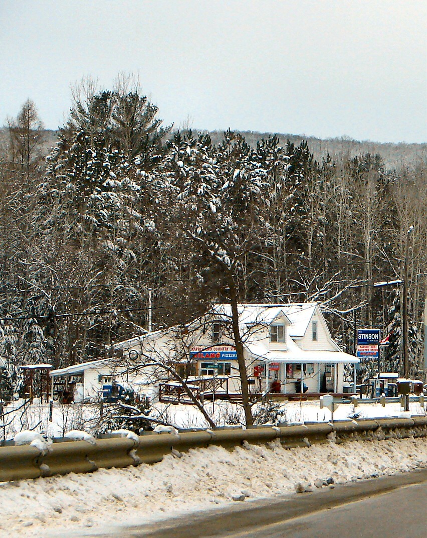
Greater Madawaska is an incorporated township in Renfrew County in eastern Ontario, Canada,[1] created on January 1, 2001, through the amalgamation of the Township of Bagot and Blythefielda; the Township of Brougham; and the Township of Griffith and Matawatchan.[3] It has a population of 2,290.
Contents
Communities
The township comprises the communities of Ashdad, Barrett Chute, Barryvale, Black Donald, Calabogie, Camel Chute, Griffith, Hurds Lake, Lower Dacre, Matawatchan, Springtown, Spruce Hedge and Wilson.
The ghost towns of Khartum and Balvenie are also located in the township.
Two fire towers were located in the township in the middle of the 20th century. These were located at Jameison's Mountain north of Griffith (the cupola now sits on the property of the Pembroke MNR office) and at Matawatchan. These were put out of use in 1970 as aerial forest fire fighting techniques took over.
Geography
The township is composed of the geographic townships of Bagot, Blythefield, Brougham, Griffith and Matawatchan. The town borders Calabogie Lake and the Madawaska River, and is located in the northern section of the Ottawa River Valley.
Recreation
The Calabogie Peaks ski resort is located in the township. The Kingston and Pembroke Railway ran through the town, with stations at Ashdad and Calabogie, until it was abandoned in 1986. It has now become a hiking trail, the K&P Rail Trail.
Demographics
According to the Canada 2006 Census:
- Population: 2,751
- % Change (2001-2006): 20.1
- Land Area: 1,011.67 km²
- Density: 2.7 people per km².
References
- ^ a b "Greater Madawaska". Geographical Names Data Base. Natural Resources Canada. http://geonames.nrcan.gc.ca/search/unique_e.php?id=FEVMK&output=xml. Retrieved 2011-08-11.
- ^ a b "Greater Madawaska". 2006 Community Profiles. Statistics Canada. 2010-12-07. http://www12.statcan.gc.ca/census-recensement/2006/dp-pd/prof/92-591/details/Page.cfm?Lang=E&Geo1=CSD&Code1=3547033&Geo2=PR&Code2=35&Data=Count&SearchText=Killaloe,%20Hagarty%20and%20Richards&SearchType=Begins&SearchPR=01&B1=All&Custom=. Retrieved 2011-08-11.
- ^ Ontario Ministry of Municipal Affairs and Housing (2006). Restructured municipalities - Ontario map #5 (Map). Restructuring Maps of Ontario. http://www.mah.gov.on.ca/Asset1607.aspx. Retrieved 2011-08-11.
External links

Bonnechere Valley,
Admaston BromleyHorton Brudenell, Lyndoch and Raglan 
McNab/Braeside  Greater Madawaska

Addington Highlands North Frontenac Lanark Highlands Cities Pembroke 1
Towns Townships First Nations reserves See also: Communities in Renfrew County • Census divisions of Ontario
1 Separated municipality but remains a census subdivision of the countyCategories:- Municipalities in Renfrew County, Ontario
- Township municipalities in Ontario

Wikimedia Foundation. 2010.