Doig River

Doig River
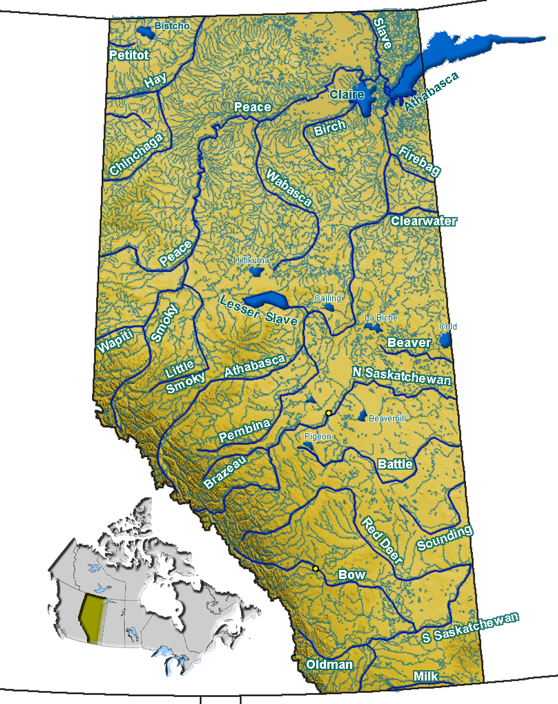
Doig River
Origin Halverson Ridge, Clear Hills County, Alberta
57°00′00″N 119°29′53″W / 56.99998°N 119.49797°W / 56.99998; -119.49797 (Doig River Origin)
Mouth Beatton River
56°25′18″N 120°39′27″W / 56.42168°N 120.65752°W / 56.42168; -120.65752 (Doig River Mouth)
Basin countries Canada
Source elevation 480 meters (1,570 ft)
Mouth elevation 890 meters (2,920 ft)

Doig River is a river in Alberta and northern British Columbia, Canada.

It originates on the northern fringes of Peace River Country in northern Alberta, south of the Chinchaga Wildland Park, in the Halverson Ridge of the Clear Hills, then flows westwards into British Columbia. It empties into the Beatton River, a tributary of the Peace River, at an elevation of 480 meters (1,570 ft).

Tributaries include the Square Creek, Betts Creek and Mearon Creek in Alberta; Adskwatim Creek, Osborn River, La Guarde Creek and Siphon Creek in British Columbia.

The aboriginal community of Doig River is located in British Columbia along the river on reserve No 206, based on Treaty No. 8 and signed by the Beaver community as the last tribe in May 1900.[1] There were 140 inhabitants in 2001, 125 thereof Indians. 50 % of the inhabitants were fluent in the Athabascan (Beaver) language; 28,6 % of the population spoke Beaver as their mother-tongue.

The Doig Airport is located at Doig, Alberta.

The Doig Formation, a Triassic age geological unit of the Western Canadian Sedimentary Basin was named for the river.

References


Wikimedia Foundation. 2010.

Игры ⚽ Поможем написать курсовую

Look at other dictionaries:

  • Doig Formation — Stratigraphic range: middle Anisian to Ladinian …   Wikipedia

  • Doig — is a surname of British origin, and can refer to: Places Doig, Alberta, a placename in northern Alberta, Canada Doig Airport, a remote forest fire suppression airfield in northwestern Alberta, Canada Doig River, a river in Alberta and northern… …   Wikipedia

  • Doig, Alberta — Location of Doig in Alberta …   Wikipedia

  • Doig Airport — IATA: none – ICAO: none – TC LID: CFX3 Summary Airport type Public Operator Alberta Sustainable Resource Development, Forest Protection Division, Peace River …   Wikipedia

  • Federico Kauffmann Doig — is a Peruvian historian and archaeologist.Early lifewas born in Chiclayo, but his childhood and infancy passed in small localities of Cajamarca and Amazonas, particularly in Cocochillo (today Camporredondo) on the margin right hand of the River… …   Wikipedia

  • Great Falls (Missouri River) — Great Falls of the Missouri River Black Eagle Falls and Dam in 1988 Location Cascade County, Montana, USA Coordinates …   Wikipedia

  • Spirit River Formation — Stratigraphic range: middle Albian …   Wikipedia

  • Beatton River — The Beatton River is a tributary of the Peace River, flowing generally east, then south through north eastern British Columbia, Canada. The river rises at Pink Mountain, about 10 km west of the Alaska Highway hamlet of the same name, and flows… …   Wikipedia

  • Liste der First Nations — Die Liste der First Nations beinhaltet alle vom Department of Indian Affairs and Northern Development aufgeführten First Nations in Kanada. Zur Unterscheidung wurde seinerzeit ein Nummernsystem eingeführt, Nummern, die hier mit angegeben sind.… …   Deutsch Wikipedia

  • Danezaa people — File:Unidentified Dane zaa circa 1911.jpg An unidentified Dane zaa, in the Peace River country, 1911 Beaver tipi in winter near Peace River, Alberta, 1899 …   Wikipedia

Share the article and excerpts

Direct link
Do a right-click on the link above
and select “Copy Link”