- Doig, Alberta
-
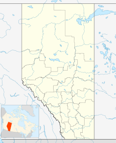
 Location of Doig in Alberta
Doig is an unincorporated community in northern Alberta, Canada. It is located in Clear Hills County, in a muskeg and boreal forest landscape.
The Doig Airport (IATA: N/A, ICAO: CFX3) is located here.
It was named after the Doig River, a tributary of Beatton River. The middle Triassic bituminous Doig Formation was named after this place.

Fort Nelson Chinchaga Wildland High Level Pink Mountain 
Manning  Doig
Doig 

Fort St. John Worsley Grimshaw  Subdivisions of Alberta
Subdivisions Regions · Census divisions · Municipal districts (counties) · Specialized municipalities · School districts · Regional health authoritiesCommunities Cities · Towns · Villages · Summer villages · Hamlets · Indian reserves · Métis settlements · Ghost towns · Designated placesCities and Urban
Service AreasAirdrie · Brooks · Calgary · Camrose · Cold Lake · Edmonton (capital) · Fort McMurray · Fort Saskatchewan · Grande Prairie · Lacombe · Leduc · Lethbridge · Lloydminster · Medicine Hat · Red Deer · Sherwood Park · Spruce Grove · St. Albert · WetaskiwinCoordinates: 56°56′59″N 119°31′0″W / 56.94972°N 119.516667°W
Categories:- Clear Hills County, Alberta
- Northern Alberta geography stubs

Wikimedia Foundation. 2010.