- U.S. Route 20 in Oregon
-
U.S. Route 20
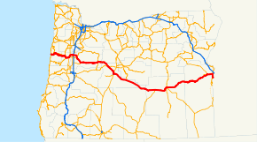
Route information Maintained by Oregon Department of Transportation Length: 451.25 mi[1] (726.22 km) Major junctions West end:  US 101 in Newport
 OR 34 in Philomath
 OR 99W in Corvallis
 I-5 in Albany
 OR 126 west of Santiam Pass
 US 97 in Bend
 US 395 in Riley
 US 26 in Vale
East end: Idaho state line Location Counties: Lincoln, Benton, Deschutes, Linn, Harney, & Malheur Highway system United States Numbered Highways
List • Bannered • Divided • ReplacedOregon highways
Routes • Highways←  OR 19
OR 19OR 22  →
→
U.S. Route 20 in Oregon is a major east–west cross-state highway, especially east of the Cascade Mountains. It connects U.S. Route 101 in Newport on the central Oregon Coast to the Idaho state line east of Nyssa.
Contents
Route description
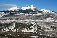
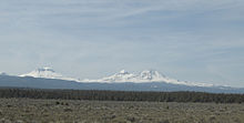
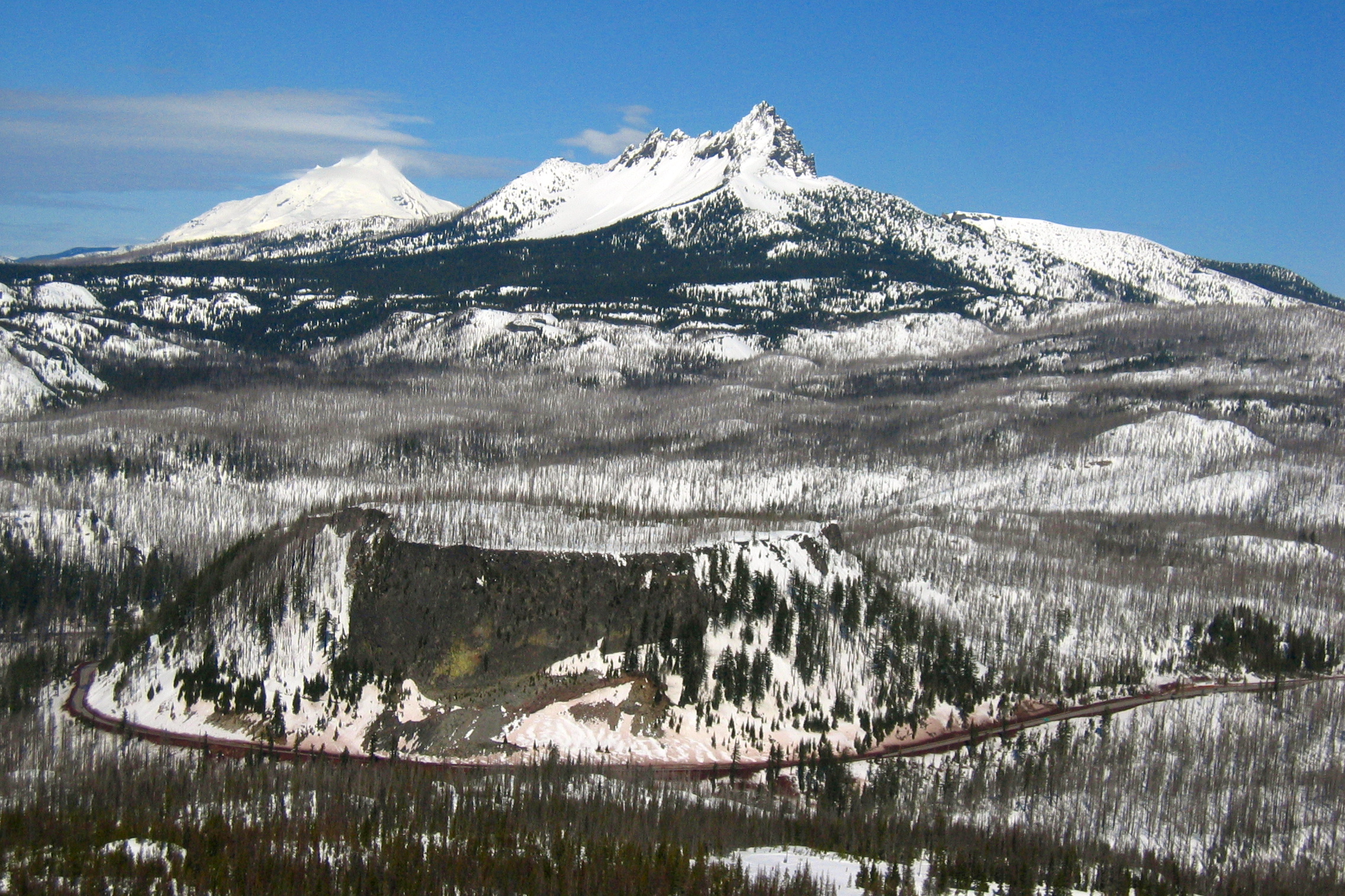
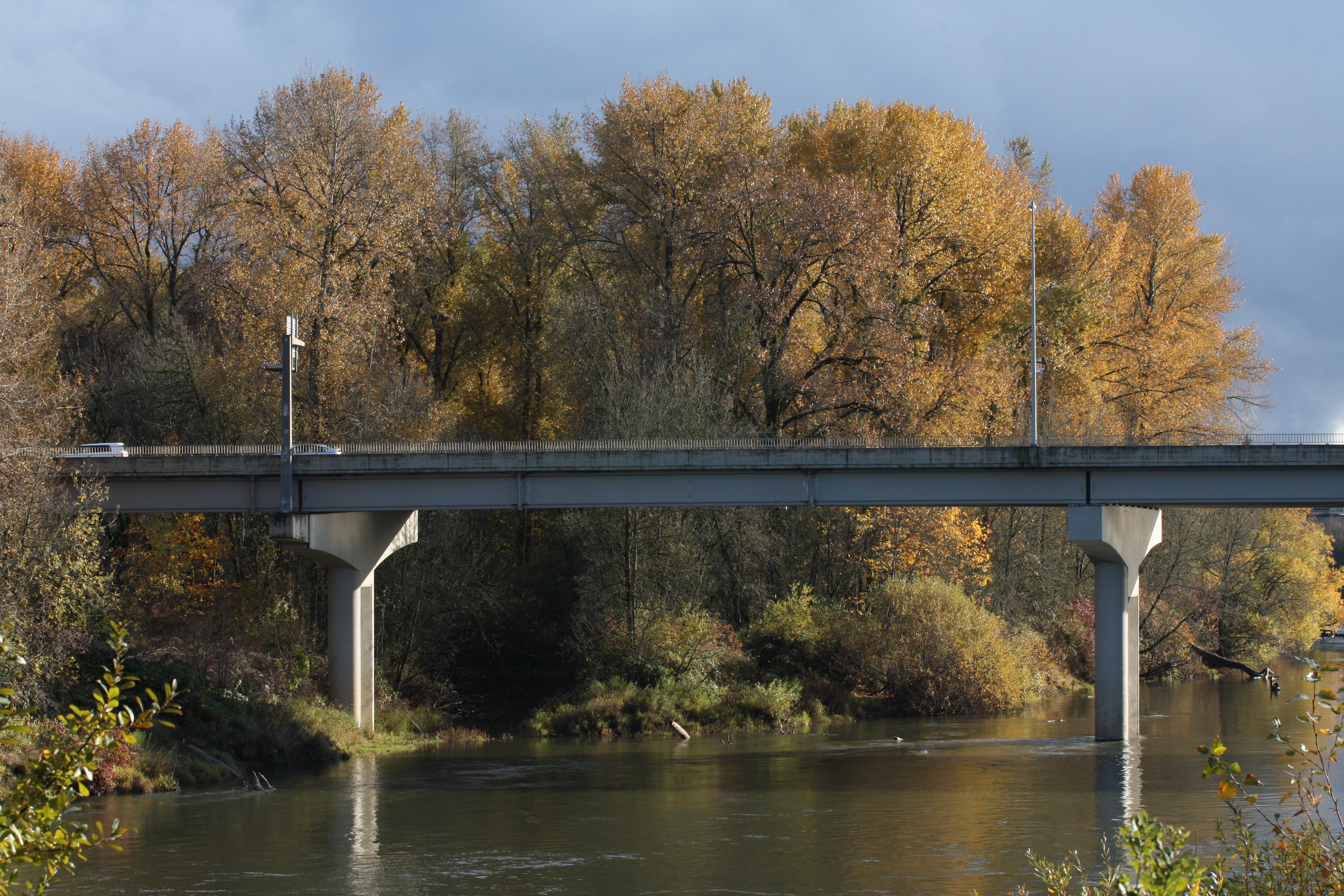
U.S. Route 20 in Oregon begins at an intersection with U.S. 101 in Newport, and runs eastward over the Central Oregon Coast Range to Corvallis. In Corvallis, it intersects Oregon Route 99W and briefly overlaps Oregon Route 34 before proceeding northeast to Albany. From Albany, U.S. 20 briefly overlaps Oregon Route 99E before turning east through Lebanon and Sweet Home and entering the Cascade Mountains. It intersects Oregon Route 126 west of Santiam Pass and the two routes overlap through Sisters. U.S. 20 then continues eastward and southward to Bend, where it overlaps U.S. 97 for about 5 miles (8.0 km) before turning east through Brothers and Riley. At Riley, U.S. 20 overlaps U.S. 395 through Hines and Burns to about 2 miles (3.2 km) northeast of Burns. From Burns, U.S. 20 continues east through Juntura and Vale. In Vale, U.S. 20 overlaps U.S. 26, and the two highways continue east to Cairo Junction, south of Ontario, and turn south, where they then also run concurrently with Oregon Route 201 to Nyssa. Eastward from Nyssa, U.S. 20 and U.S. 26 continue to the Idaho border.
Bannered routes
Main article: Bannered routes of U.S. Route 20U.S. Route 20 has 2 business routes in Oregon: one in Toledo, and one in Bend.
Route straightening
Construction on a portion of U.S. 20 between Newport and Corvallis, specifically, near Toledo to Eddyville, is being done to straighten and remove nearly three miles from the route, and make it easier for larger vehicles to travel. Construction began in 2005, but was halted in 2007 because of excessive unexpected landslides. The project recommenced in May 2008 with a better plan for stabilizing these landslide locations. The final construction was expected to be completed in 2011, but continuing earth movement at a bridge site has delayed the project again. ODOT and the contractor are now in a dispute over liability and money, and the completion date has been postponed until 2012 (small possibility) or 2013 (more likely).[2]
Oregon highway designations
The Oregon section of U.S. 20 consists of the following highways (see Oregon highways and routes), from west to east:
- The Corvallis-Newport Highway No. 33;
- Part of the Corvallis-Lebanon Highway No. 210;
- The Albany-Corvallis Highway No. 31;
- The Santiam Highway No. 16;
- Part of the McKenzie Highway No. 15;
- The McKenzie-Bend Highway No. 17;
- Part of The Dalles-California Highway No. 4; and
- The Central Oregon Highway No. 7.

References
- ^ "US Route 20 in Oregon". http://www.angelfire.com/or3/oroads/roads/us20/.
- ^ ODOT, Pioneer Mountain to Eddyville Project [1]
External links
- U.S. 20: Route crosses the Cascades and heads east - The Oregonian
 U.S. Route 20
Previous state:
TerminusOregon Next state:
IdahoCategories:- U.S. Highways in Oregon
- U.S. Route 20
- Transportation in Deschutes County, Oregon
- Transportation in Linn County, Oregon
- Transportation in Benton County, Oregon
- Transportation in Harney County, Oregon
- Transportation in Lincoln County, Oregon
- Transportation in Malheur County, Oregon


Wikimedia Foundation. 2010.