- Oregon Route 22
-
For the unsigned Highway 22, see Crater Lake Highway.
Oregon Route 22

Route information Maintained by ODOT Length: 138.86 mi (223.47 km) Existed: 1932 – present Major junctions West end:  US 101 in Hebo
 OR 130 in Dolph
 OR 18 in Valley Junction
OR 18 near Willamina
 OR 223 in Rickreall
 OR 99W in Rickreall
 OR 51 in Brunks Corner


 OR 99E / OR 99E Bus. in Salem
 I-5 in Salem
 OR 214 near Salem
 OR 226 in Mehama
East end: 
 US 20 / OR 126 in Santiam Junction
Highway system Oregon highways
Routes • Highways← US 20US 26  →
→Oregon Route 22 is an Oregon state highway that runs between the Oregon Coast community of Hebo, to an interchange with U.S. Route 20 near Santiam Pass in the Cascade Mountains.
Contents
Route description
Three Rivers Highway
Oregon Route 22, known by the locals as Sourgrass, begins (at its western terminus) at a junction with U.S. Route 101 in the coastal town of Hebo. The first section, known as the Three Rivers Highway No. 32 (see Oregon highways and routes), is a mostly scenic route; however, it is narrow and winding, and not well-suited for high-volume traffic. OR 22 winds eastward though the coast range along the Little Nestucca River, until it reaches the community of Grand Ronde. There, it joins with Oregon Route 18 at a location known as Valley Junction, and overlaps OR 18 along part of the Salmon River Highway No. 39 in an approximately four-mile stretch between Grand Ronde and Willamina, at which point OR 22 heads southeast towards Salem, while OR 18 goes northeast towards the Portland area. The portion from Hebo to Grand Ronde was formerly signed as OR 14.
Willamina-Salem Highway
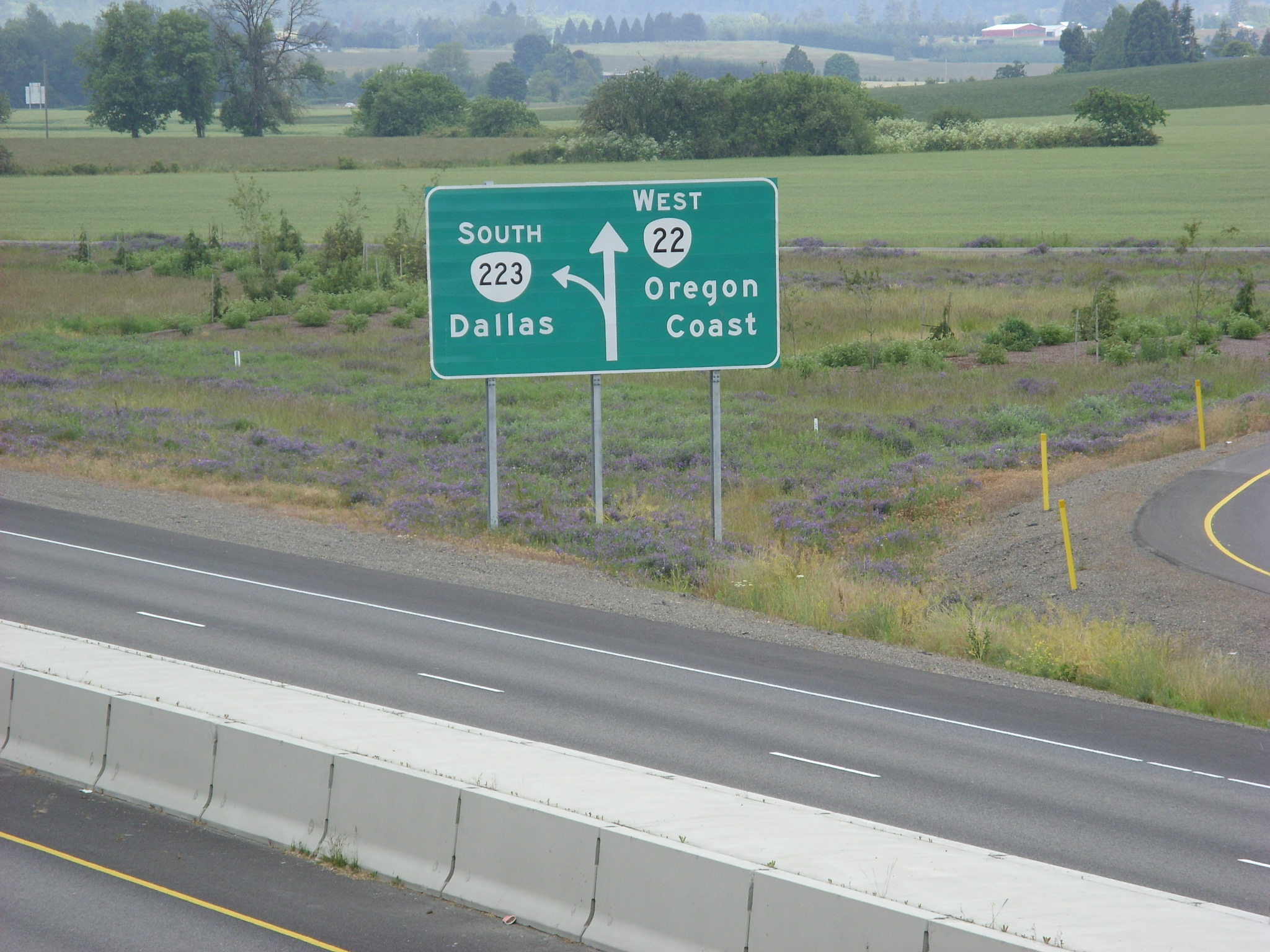
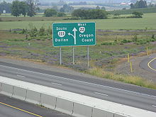 Sign at OR 22's interchange with OR 223
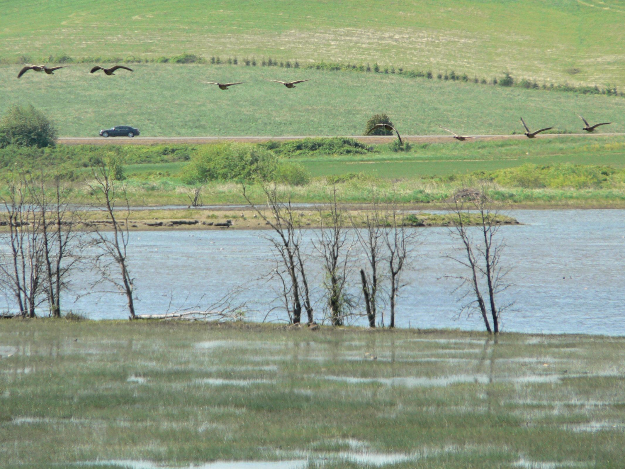
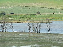 Canada Geese (Branta canadensis) flying over Baskett Slough National Wildlife Refuge with Route 22 beyond
The stretch between Willamina and Salem is known as the Willamina-Salem Highway No. 30. Between Willamina and Dallas it is a mostly two-lane highway; unlike the stretch between Hebo and Grand Ronde, this part of OR 22 is a major freight corridor. In the Dallas/Rickreall area are intersections with Oregon Route 223 and Oregon Route 99W, along with a spur route of OR 223 further to the west. East of the OR 223 interchange, OR 22 is an expressway into Salem; there is a project being planned to upgrade much of this stretch of OR 22 to freeway standards [1]. Between Dallas and Salem; OR 22 intersects two other highways; Oregon Route 51 and Oregon Route 221. Immediately beyond the interchange with OR 221 is the Marion Street Bridge across the Willamette River, and downtown Salem.
Salem area
After crossing the bridge, OR 22 (along with OR 99E Business, which it joins) heads south along Front Street for a few blocks, then east past Willamette University. At the eastern edge of the Willamette campus, an interchange carries the highway to Mission Street; OR 22 and OR 99E Business continue east on Mission Street (which is really an urban expressway), past the Salem airport to an interchange with Interstate 5 and Oregon Route 99E. OR 99E Business ends here; OR 22 continues to the east. This portion of OR 22 is part of the Salem Highway No. 72.
North Santiam Highway
East of the I-5 interchange, OR 22 is known as the North Santiam Highway No. 162. This section of OR 22 is a major transportation corridor; and is a primary route between Salem and the central Willamette Valley, and Central Oregon. Between I-5 and Stayton; OR 22 is a freeway: a four-lane undivided freeway between I-5 and Aumsville; a traditional divided freeway between Aumsville and Stayton, and a two-lane freeway in the Stayton/Sublimity area. The highway continues east, along the northern bank of the Santiam River, through the community of Mehama and the cities of Mill City, Gates, and Detroit. The highway passes numerous hydroelectric dams, including the ruins of an early 20th century dam at Niagara County Park and the mid-20th century Detroit Dam which forms much-visited Detroit Lake. Beyond the Detroit on the east end of the reservoir, the highway passes Idanha, and turns south, west of Mount Jefferson, passes Marion Forks, and reaches its terminus at an interchange with U.S. Route 20 and Oregon Route 126 at Santiam Junction. US 20 and OR 126 continue east over Santiam Pass into central Oregon; US 20 heads to Bend and OR 126 to Redmond.
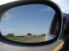 Near Dallas
Major intersections
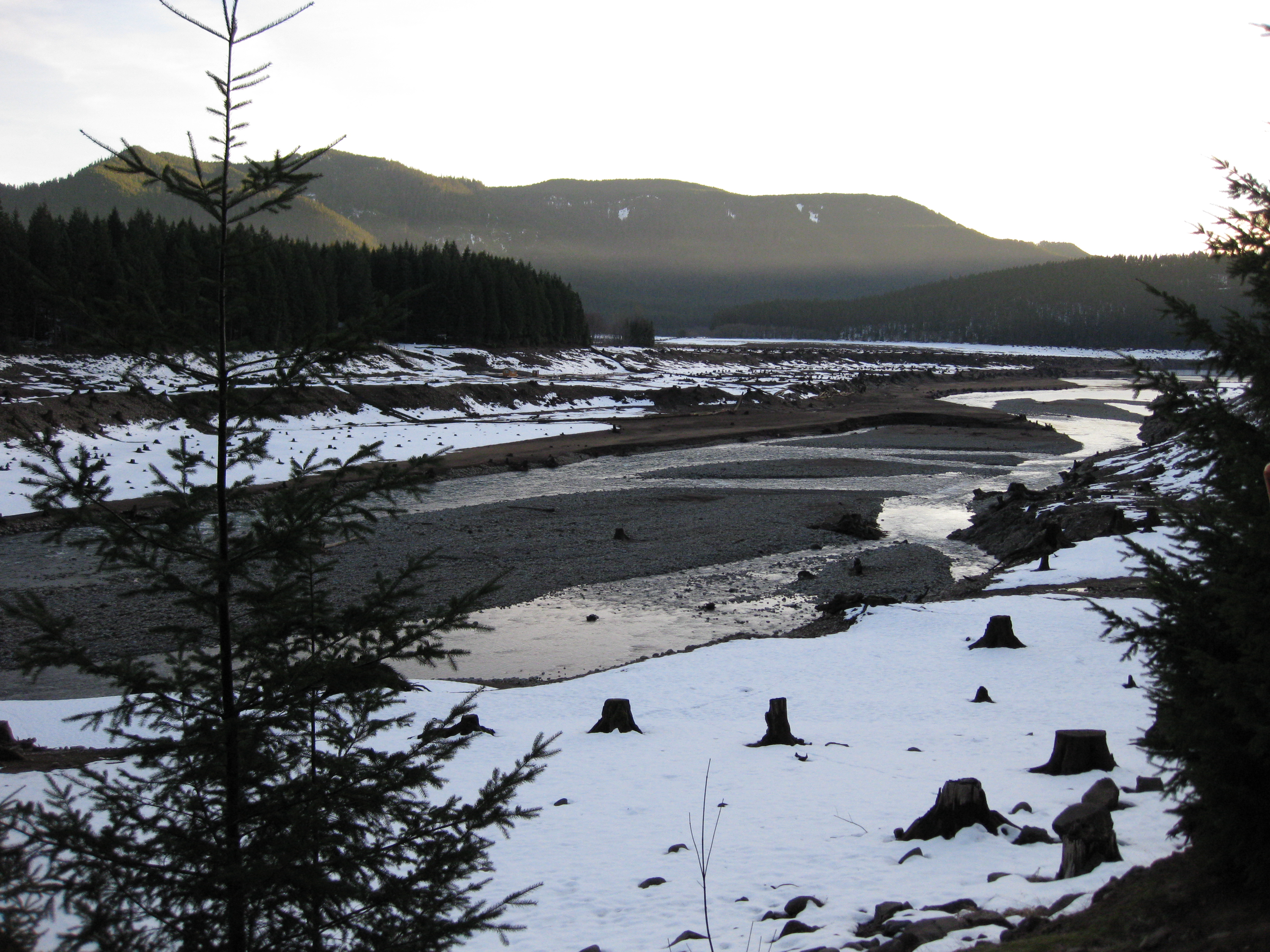
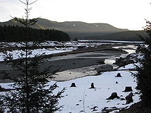 North Santiam River near Detroit as seen from OR 22.
- Note: mileposts do not reflect actual mileage due to realignments.
County Location Mile[2] # Destinations Notes Tillamook Hebo 0.00 US 101 – Tillamook, Astoria, Cloverdale, NewportDolph 10.63 Little Nestucca, Pacific City (OR 130) Polk Valley Junction 24.97
23.04 OR 18 west – Grand Ronde, Lincoln City, NewportWest end of OR 18 overlap 27.16
OR 18 Bus. east – Willamina, SheridanInterchange eastbound; at-grade intersection westbound 27.17
0.00 OR 18 east – McMinnville, PortlandInterchange; east end of OR 18 overlap 12.74 OR 223 – Dallas, Kings Valley15.73 OR 223 south – DallasInterchange; westbound exit and eastbound entrance 16.14 16 OR 99W – Monmouth, McMinnvilleInterchange Brunks Corner 20.37 OR 51 – IndependenceSalem 24.06 West end of freeway 24.29  OR 221 – West Salem, Dayton
Eastbound exit and westbound entrance 24.86 Rosemont Avenue – Capital Manor Westbound exit and eastbound entrance 25.63 OR 221 north – West Salem, DaytonWestbound exit and eastbound entrance Marion 25.97 Salem City Center Eastbound exit and westbound entrance 26.20
5.19
OR 99E Bus. north to I-5 north – Keizer, PortlandWest end of OR 99E Bus. overlap East end of freeway 6.20 12th Street – State Offices 6.48 12th Street, Mission Street Interchange 8.48
1.171 I-5 – Portland, EugeneInterchange; signed as exits 1A (south) and 1B (north) 1.55 West end of freeway 1.91 2 Lancaster Drive – Turner 4.03 4 Gaffin Road 5.44 5 Joseph Street 6.67 7 OR 214 – Silver Falls State Park8.94 9 Shaw, Aumsville 11.53 12 Golf Club Road – Chemeketa-Santiam Center Sublimity 13.23 Stayton, Sublimity 14.30 East end of freeway Mehama 22.42 OR 226 – Mehama, Lyons, AlbanyLinn 81.81 US 20 / OR 126 – Sisters, Bend, Clear Lake, EugeneReferences
- ^ Project 22, Polk County, Oregon
- ^ Oregon Department of Transportation, Public Road Inventory (primarily the Digital Video Log), accessed April 2008
External links
Categories:- State routes in Oregon
- Transportation in Tillamook County, Oregon
- Transportation in Yamhill County, Oregon
- Transportation in Marion County, Oregon
- Transportation in Linn County, Oregon
- Transportation in Polk County, Oregon


Wikimedia Foundation. 2010.