- Chiraiyakot
-
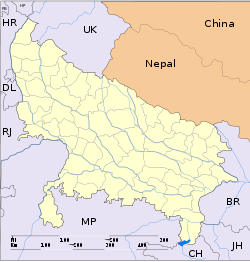
Chiraiyakot — city — Coordinates 26°02′N 83°34′E / 26.03°N 83.56°ECoordinates: 26°02′N 83°34′E / 26.03°N 83.56°E Country India State Uttar Pradesh District(s) Mau Population 38,652 (2001[update]) Time zone IST (UTC+05:30) Area
• 66 metres (217 ft)
Codes-
• Pincode • 276129
Chiraiyakot is a town and a nagar panchayat in Mau district in the Indian state of Uttar Pradesh.This town has many villages which are Raipur(Paliya),Sarounda,Aldemau,Karmi etc.There is a historical place situated 300 years ago.
Contents
Language
Here public use Bhojpuri, Hindi and Urdu language for communication and in collges student use the Hindi and English language for communication.
Geography
Chiraiyakot is located at 26°02′N 83°34′E / 26.03°N 83.56°E. It has an average elevation of 66 metres (217 feet).
Demographics
As of 2001[update] India census, Chiraiyakot had a population of 38652. Males constitute 51% of the population and females 49%. Chiraiyakot has an average literacy rate of 64%, higher than the national average of 59.5%: male literacy is 70%, and female literacy is 59%. In Chiraiyakot, 17% of the population is under 6 years of age.
References
Categories:- Cities and towns in Mau district
- Uttar Pradesh geography stubs
-
Wikimedia Foundation. 2010.


