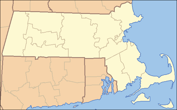
- Middlesex Fells Reservation
-
Middlesex Fells Reservation Metropolitan Park System of Greater Boston 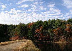 Middlesex Fells,
between South and Middle ReservoirsCountry United States State Massachusetts Region Middlesex County Municipality Malden, Medford, Melrose,
Stoneham, WinchesterLocation 4 Woodland Road
Stoneham, MA (headquarters)- coordinates 42°26′56″N 71°6′53″W / 42.44889°N 71.11472°W Area 2,575 acres (1,042 ha) Founded 1894 Management Massachusetts Department of Conservation and Recreation 
 Location of Middlesex Fells Reservation
Website: http://www.mass.gov/dcr/parks/metroboston/fells.htm Middlesex Fells Reservation, often referred to simply as the Fells, is a Massachusetts state park located in Malden, Medford, Melrose, Stoneham, and Winchester. The park is managed by the Massachusetts Department of Conservation and Recreation (DCR), and is part of the Metropolitan Park System of Greater Boston.
Contents
Description
The Middlesex Fells Reservation is a 2,575-acre (10.42 km2) park principally used for walking, dog walking, hiking, running, mountain biking, rock climbing and skiing.
Features of the park include Fells Reservoir (water supply for the town of Winchester) and Spot Pond (used as a back-up reservoir by the Massachusetts Water Resources Authority), two observation towers featuring scenic views of Boston and the surrounding area, and many vernal pools.
In the summer months, sailing lessons and boat rentals are offered on Spot Pond.
Today the park surrounds two currently inactive reservoirs, Spot Pond and the Fells Reservoir, and the three (North, Middle, and South) active reservoirs supplying the town of Winchester. Spot Pond and the Fells Reservoir are part of the Wachusett water system, one of six primary water systems that feed metropolitan Boston's waterworks.
Trailheads are accessible from Interstate 93 at exits 33 and 34.
History
The area around Middlesex Fells was first explored by John Winthrop, Governor of the Massachusetts Bay Colony, in 1632. The reservation's land was once favored for timber, granite quarrying, and ice cultivation. The former mill village of "Haywardville" was located within the reservation. Many mills, including one that manufactured some of the first vulcanized rubber products, were located here. Remnants of some of the early mill works are still visible in the Spot Pond Archeological District, located in the Virginia Woods section of the reservation.
The reservation was created in 1891 by the donation of "Virginia Wood" by Charles Eliot to The Trustees of Reservations. In 1893 the state took the property over and began managing it as a state park.
Boston Regional Medical Center was located within the Reservation along Woodland Road in Stoneham, until it closed in February 1999 for financial reasons.[1]
Recreational opportunities
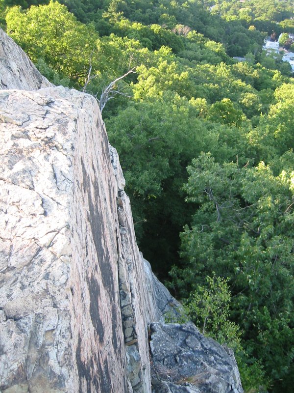
 A cliff in the Fells.
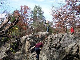 Kids climbing the rock near the Panther Cave.
- Boating (non-motorized)
- Canoeing
- Fishing
- Hiking
- Trail running
- Horseback riding trails
- Dogsledding (large-breed)
- Mountain biking (restricted to fire roads and mountain bike loop)
- Picnicking
- Rock climbing
- Boating (motorized)
- Scenic viewing area
- Skiing (cross-country)
- Tot lot
- Dogsledding (small-breed)
- Walking trails
Historic status
In addition to being a state park, portions of the park and structures within it are listed on the National Register of Historic Places. The entire area surrounding Spot Pond to the east of I-93 is within the Middlesex Fells Reservoirs Historic District, and the roadways in the park and on its borders are listed as the Middlesex Fells Reservation Parkways. The park's visitor center on Woodland Road in Stoneham is in the historic John Bottume House, which is not far from the 1906 Metropolitan District Commission Pumping House. Historically important archaeological sites in the park are listed as part of the Spot Pond Archeological District. Roadways connecting the park to other elements of the Metropolitan Park System are also listed; these include the Fells Connector Parkways, which connect the park to the Mystic River Reservation in Winchester, and the Lynn Fells Parkway, connecting the park to the Breakheart Reservation in Saugus.
Gallery
-
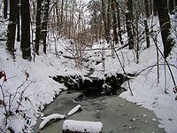
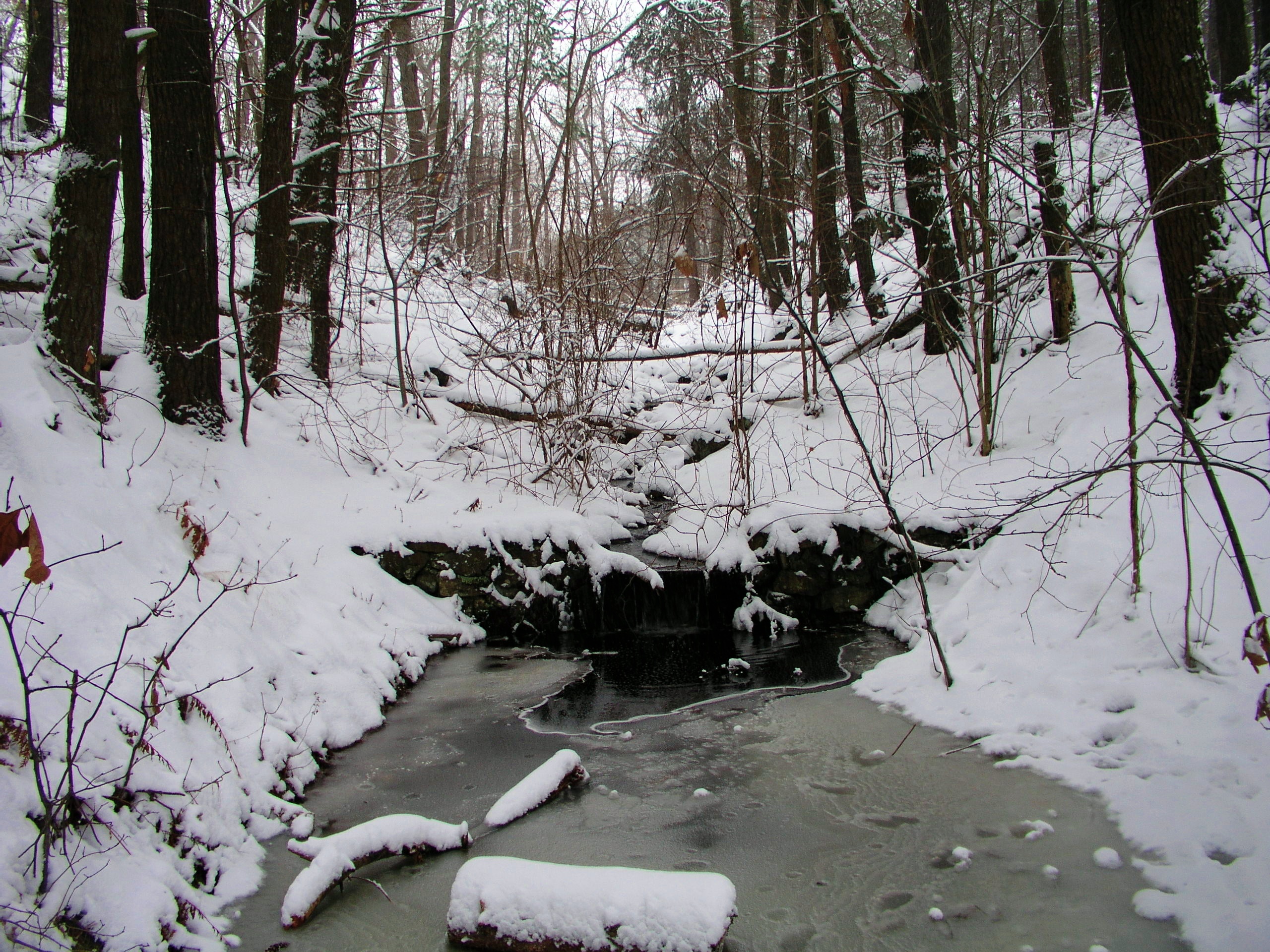
A small waterfall in the woods, December 2009.
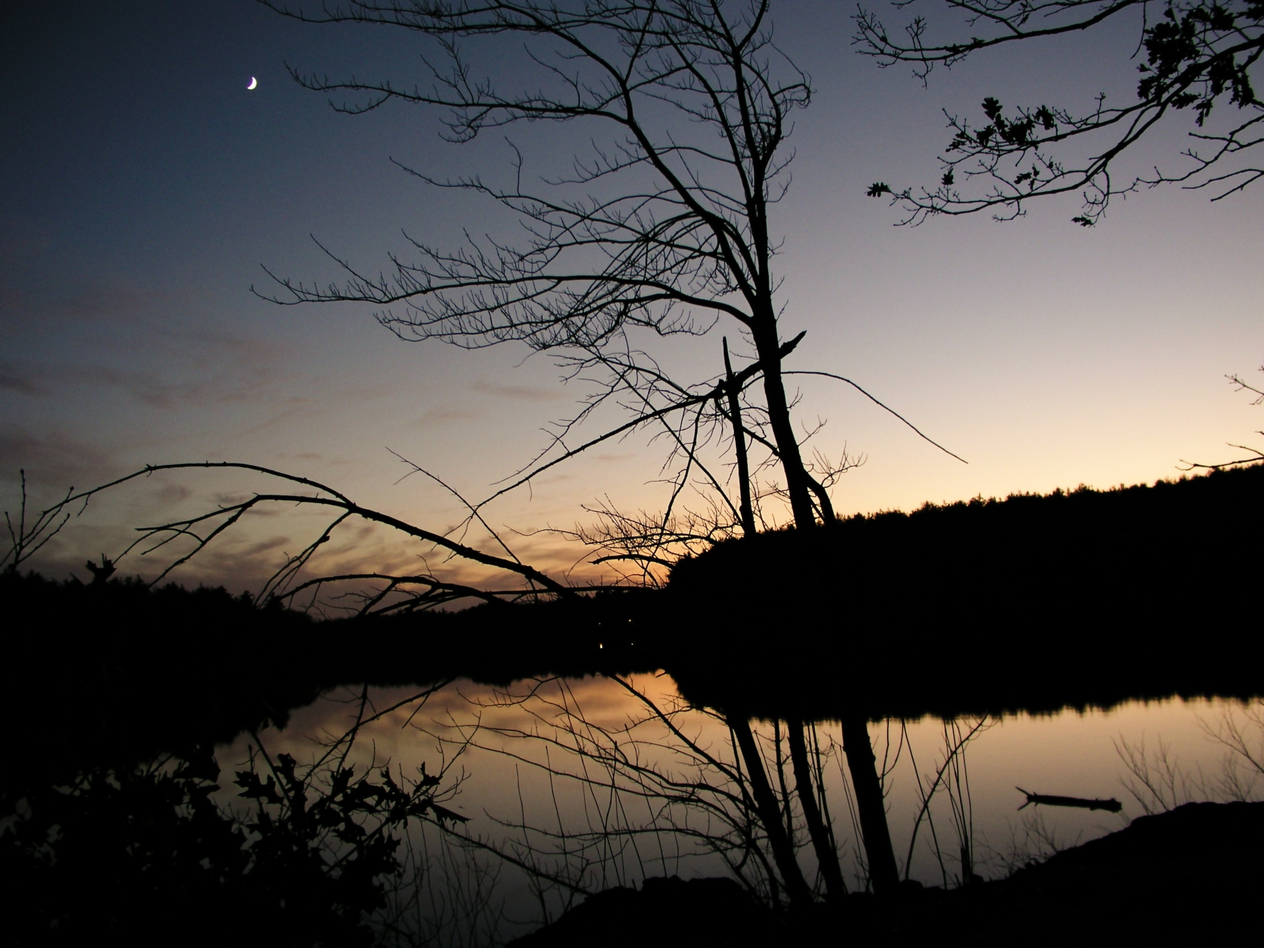
-

A sunset over the South Reservoir, Fall 2009.
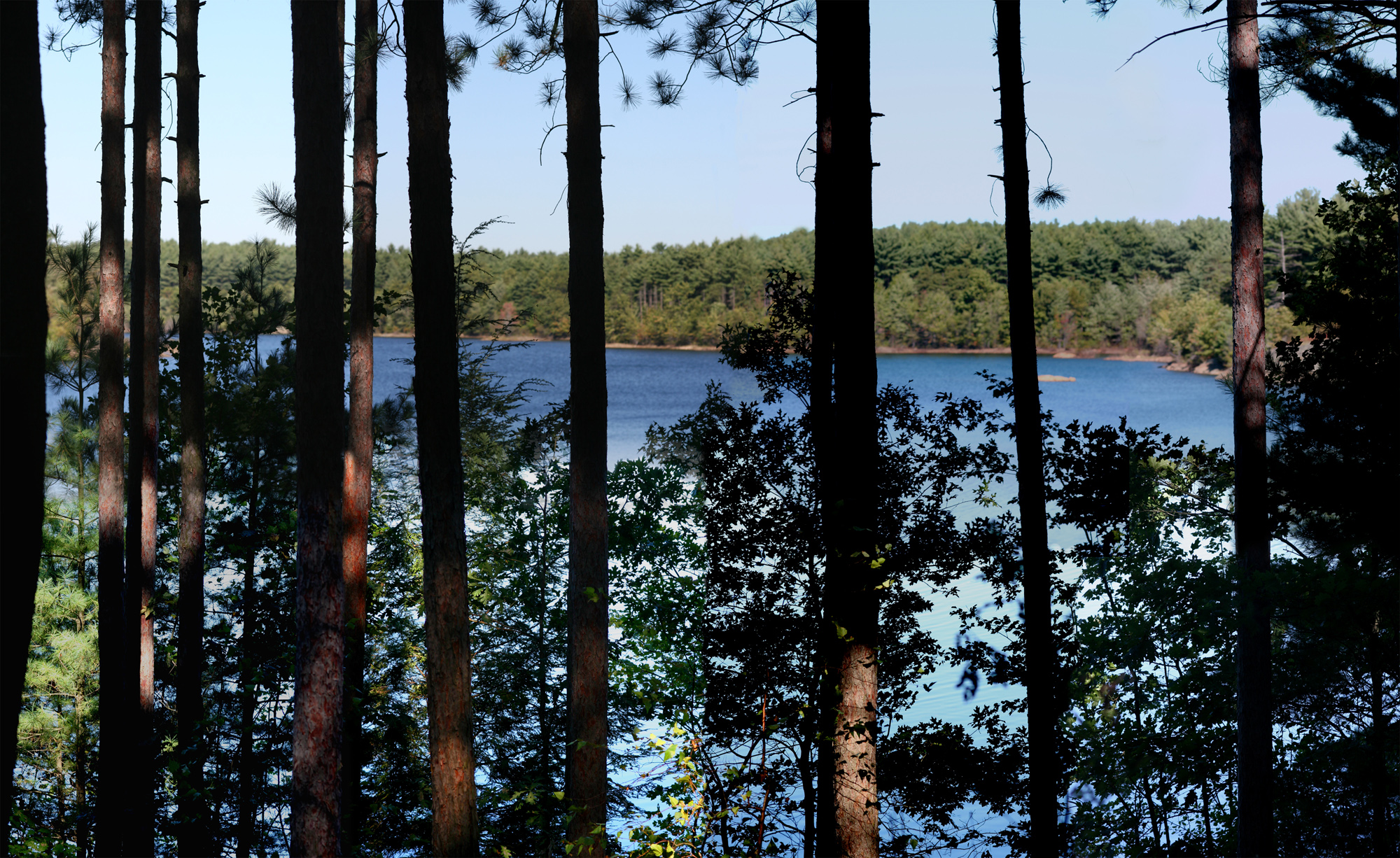
-
Middle Reservoir seen from the causeway separating it from South Reservoir.
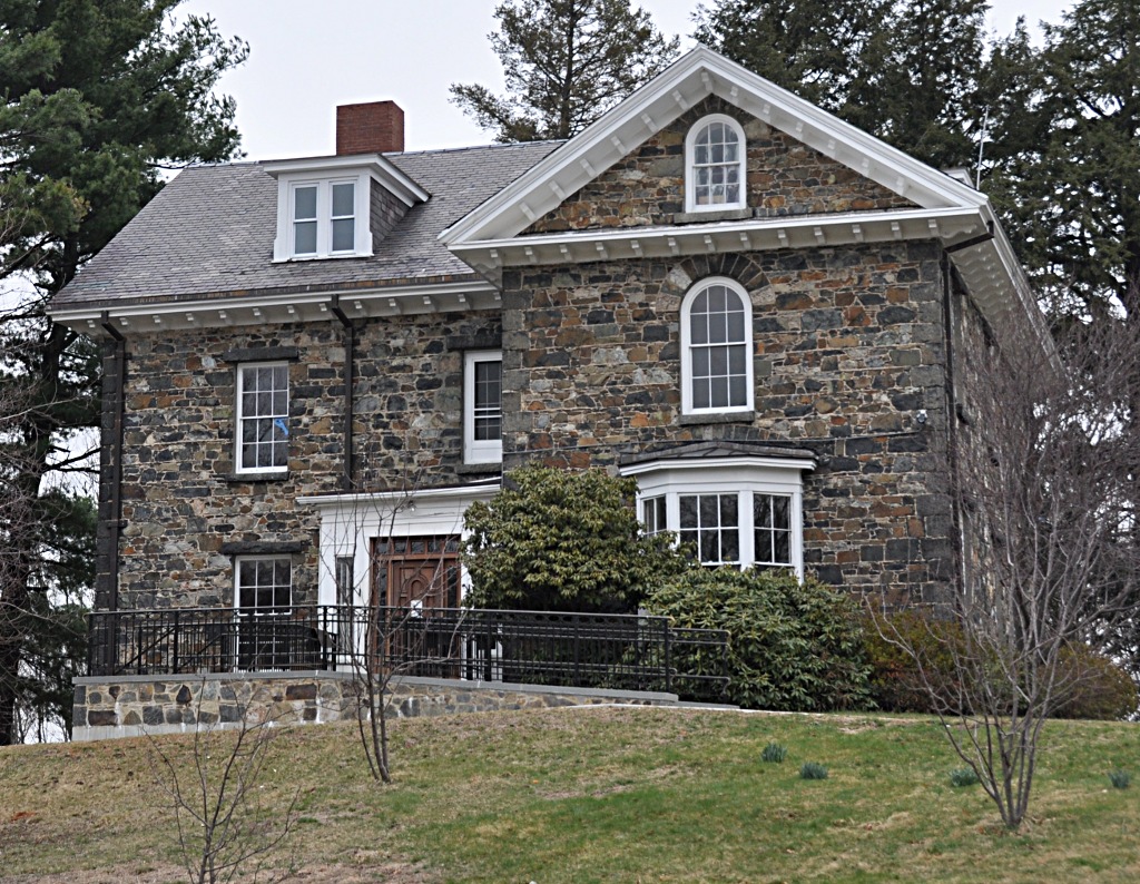
-

The John Bottume House, which serves as the park's visitor center.
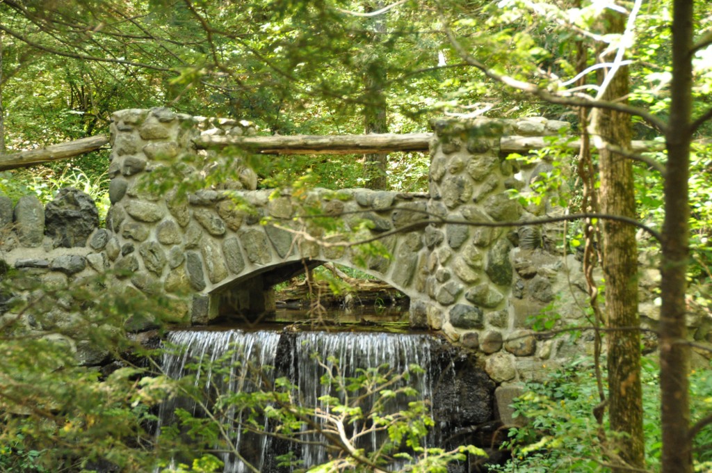
-
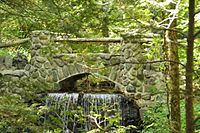
A bridge crossing over an 18th century dam across Spot Pond Brook.
References
- ^ Ellen Lutch Trager (22 February 1999), "BRMC's Closure Harbinger of Things to Come", Boston Business Journal (American City Business Journals, Inc.), http://boston.bizjournals.com/boston/stories/1999/02/22/editorial3.html
External links
- Official Department of Conservation and Recreation Web site
- Park map on the DCR site
- Bike Path Map
- Friends of the Fells website
- Mystic River Watershed Association website
Categories:- Massachusetts state parks
- Malden, Massachusetts
- Medford, Massachusetts
- Melrose, Massachusetts
- Stoneham, Massachusetts
- Winchester, Massachusetts
- Protected areas established in 1891
- Parks in Middlesex County, Massachusetts


Wikimedia Foundation. 2010.