- Coulee Dam, Washington
-
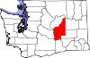
Coulee Dam, Washington — Town — Location of Coulee Dam, Washington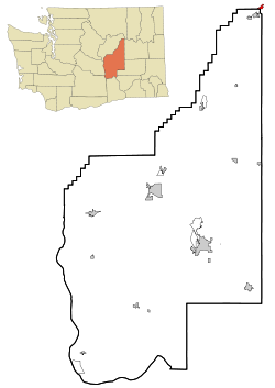
Coordinates: 47°58′6″N 118°58′41″W / 47.96833°N 118.97806°WCoordinates: 47°58′6″N 118°58′41″W / 47.96833°N 118.97806°W Country United States State Washington Counties Okanogan, Douglas, Grant Area – Total 0.7 sq mi (1.9 km2) – Land 0.7 sq mi (1.8 km2) – Water 0.0 sq mi (0.1 km2) Elevation 1,145 ft (349 m) Population (2010) – Total 1,098 – Density 1,568.6/sq mi (610/km2) Time zone Pacific (PST) (UTC-8) – Summer (DST) PDT (UTC-7) ZIP code 99116 Area code(s) 509 FIPS code 53-15115[1] GNIS feature ID 1504196[2] 
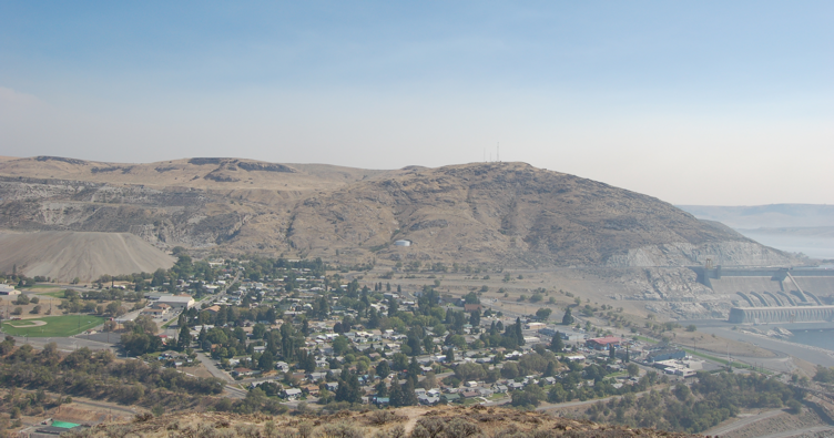
Coulee Dam is a town in Douglas, Grant, and Okanogan counties in the U.S. state of Washington. The Douglas County portion of Coulee Dam is part of the Wenatchee–East Wenatchee, Washington Metropolitan Statistical Area. The population was 1,098 as of the 2010 census.
Contents
History
 Dam under construction, possibly around 1937
Coulee Dam was originally founded by the U.S. Bureau of Reclamation in 1933, to serve as headquarters for the construction of the Grand Coulee Dam. The Okanogan County portion was known as Mason City, location of the head contractor. The Portions in Douglas and Grant Counties was known as Engineers Town and was government owned. In 1942 with the end of the contract in sight, CBI transferred control of Mason City to the over to the Municipal Division of the Columbia Basin Project. In 1948 Mason City was incorporated into Coulee Dam. Government began the process of selling the town to the public in 1957 finishing in 1959. Coulee Dam was officially incorporated as a town on February 26, 1959.
It is the headquarters of Lake Roosevelt National Recreation Area, and home of one of the world's largest man-made piles of sand, a 12,000,000-cubic-yard (9,200,000 m3), 230-foot (70 m)-high hill remaining from dam construction.
Geography
Coulee Dam is located at 47°58′6″N 118°58′41″W / 47.96833°N 118.97806°W (47.968467, -118.978162).[3]
The Okanogan County portion lies within the Colville Indian Reservation, and forms the southern limit of the Okanogan Highlands.
According to the United States Census Bureau, the town has a total area of 0.7 square mile (1.9 km²), of which 0.7 square mile (1.8 km²) is land and 0.1 square mile (0.1 km²) (6.85%) is water.
Demographics
As of the census[1] of 2000, there were 1,044 people, 448 households, and 305 families residing in the town. The population density was 1,532.5 people per square mile (592.8/km²). There were 499 housing units at an average density of 732.5 per square mile (283.3/km²). The racial makeup of the town was 64.56% White, 0.29% African American, 29.12% Native American, 0.48% Asian, 0.57% from other races, and 4.98% from two or more races. Hispanic or Latino of any race were 2.78% of the population.
There were 448 households out of which 25.7% had children under the age of 18 living with them, 52.0% were married couples living together, 11.4% had a female householder with no husband present, and 31.7% were non-families. 27.7% of all households were made up of individuals and 13.8% had someone living alone who was 65 years of age or older. The average household size was 2.32 and the average family size was 2.74.
In the town the population was spread out with 22.9% under the age of 18, 7.1% from 18 to 24, 20.7% from 25 to 44, 29.0% from 45 to 64, and 20.3% who were 65 years of age or older. The median age was 44 years. For every 100 females there were 93.3 males. For every 100 females age 18 and over, there were 90.3 males.
The median income for a household in the town was $37,391, and the median income for a family was $45,066. Males had a median income of $38,000 versus $22,500 for females. The per capita income for the town was $18,791. About 6.7% of families and 9.8% of the population were below the poverty line, including 14.9% of those under age 18 and 11.0% of those age 65 or over.
References
- ^ a b "American FactFinder". United States Census Bureau. http://factfinder.census.gov. Retrieved 2008-01-31.
- ^ "US Board on Geographic Names". United States Geological Survey. 2007-10-25. http://geonames.usgs.gov. Retrieved 2008-01-31.
- ^ "US Gazetteer files: 2010, 2000, and 1990". United States Census Bureau. 2011-02-12. http://www.census.gov/geo/www/gazetteer/gazette.html. Retrieved 2011-04-23.
Municipalities and communities of Douglas County, Washington Cities 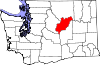
Towns Coulee Dam‡ | Mansfield | Waterville
Unincorporated
communitiesGhost towns Baird
Footnotes ‡This populated place also has portions in an adjacent county or counties
Municipalities and communities of Grant County, Washington Cities Ephrata | George | Grand Coulee | Moses Lake | Quincy | Royal City | Soap Lake | Warden
Towns Coulee City | Coulee Dam‡ | Electric City | Hartline | Krupp | Mattawa | Wilson Creek
CDPs Communities Adco | Adrian | Beverly | Lakeview Park | Mae | Ruff | Stratford | Trinidad | Wheeler | Winchester
Footnotes ‡This populated place also has portions in an adjacent county or counties
Municipalities and communities of Okanogan County, Washington Cities 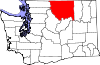
Towns Conconully | Coulee Dam ‡ | Elmer City | Nespelem | Riverside | Twisp | Winthrop
CDPs Unincorporated
communitiesIndian reservation Ghost towns Footnotes ‡This populated place also has portions in an adjacent county or counties
Categories:- Populated places in Douglas County, Washington
- Populated places in Grant County, Washington
- Populated places in Okanogan County, Washington
- Towns in Washington (state)
- Wenatchee – East Wenatchee metropolitan area


Wikimedia Foundation. 2010.