- Mattawa, Washington
-
Mattawa, Washington — City — Mattawa City Hall (2008)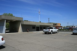 Location of Mattawa, Washington
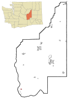
Coordinates: 46°44′10″N 119°54′7″W / 46.73611°N 119.90194°WCoordinates: 46°44′10″N 119°54′7″W / 46.73611°N 119.90194°W Country United States State Washington County Grant Government - Mayor Judy K. Esser - Chief of Police Steve Jensen Area - Total 0.5 sq mi (1.3 km2) - Land 0.5 sq mi (1.3 km2) - Water 0.0 sq mi (0.0 km2) Elevation 768 ft (234 m) Population (2000) - Total 2,609 - Density 5,281.7/sq mi (2,039.3/km2) Time zone Pacific (PST) (UTC-8) - Summer (DST) PDT (UTC-7) ZIP code 99349 Area code(s) 509 FIPS code 53-44165[1] GNIS feature ID 1506518[2] Mattawa is an incorporated city in Grant County, Washington, United States. The population was 2,609 at the 2000 census. An estimated population exists between 4500-6500 residents during peak fruit picking/agricultural season(s) and subsides by approximately 2000 residents during non-picking seasons.
Contents
History
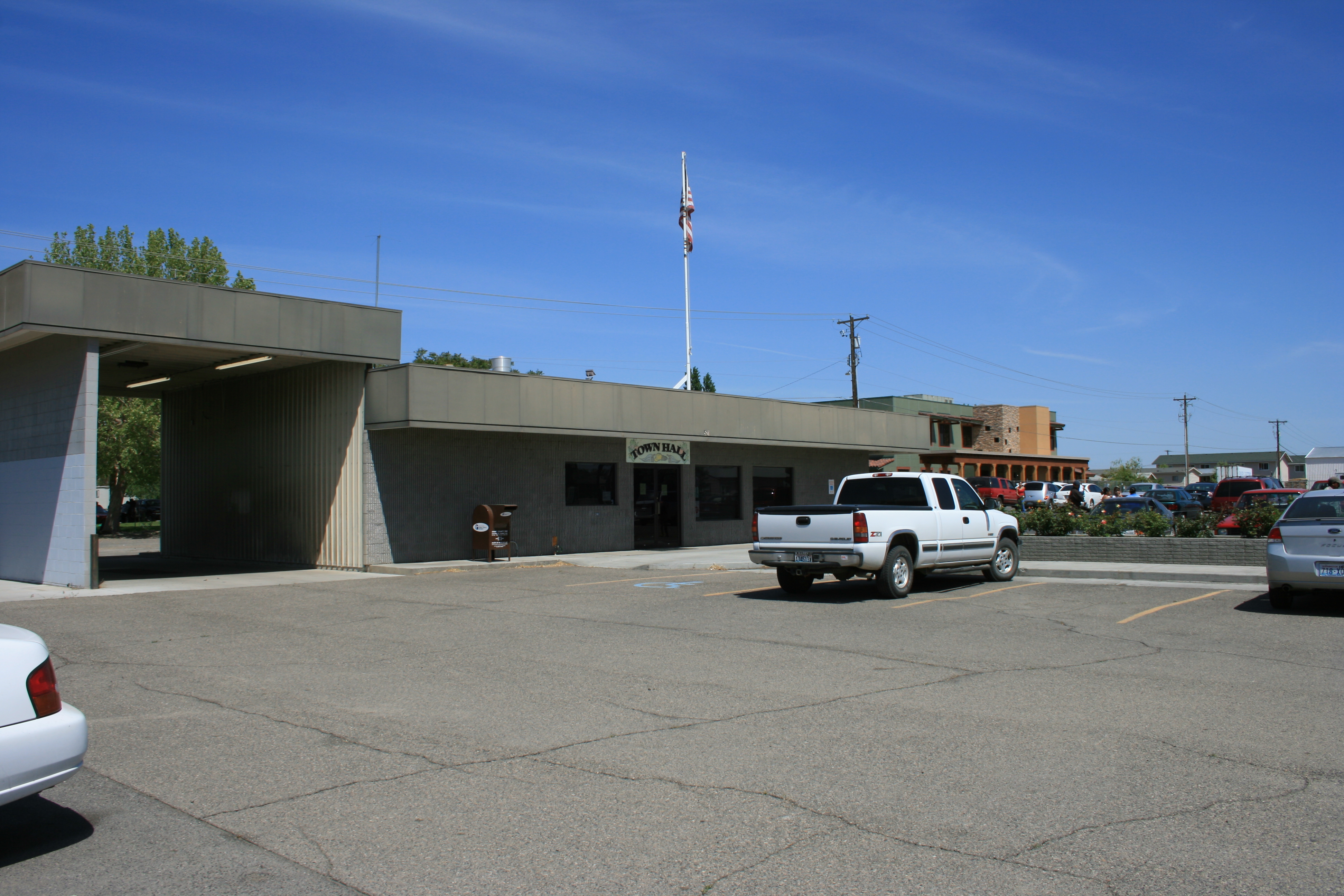
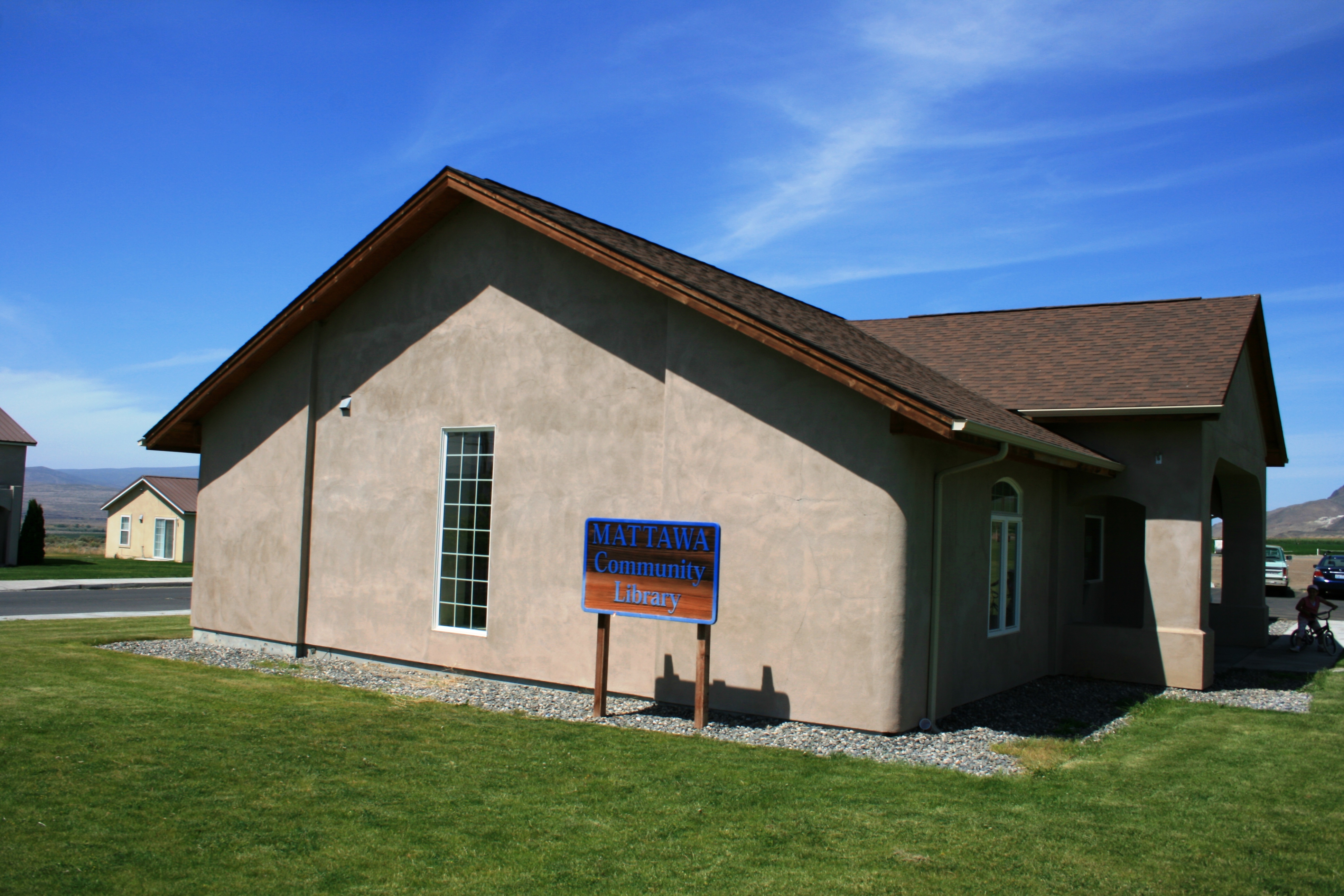
 Exterior view of straw bale library in Mattawa, Washington taken in 2008 (constructed 2002 by IronStraw Group).
The town of Mattawa was originally platted in 1909 by E. and Eva Campbell, but was not incorporated at that time.[3] With the construction of nearby Priest Rapids Dam and Wanapum Dam, the town boomed with construction workers.[4] Mattawa was officially incorporated on June 3, 1958. The Port of Mattawa was also established in 1958.[5] Mattawa is also home to the first straw bale library in the United States.[6] December 3, 2009, the City of Mattawa became a non-charter code city.
Geography
Mattawa is located at 46°44′10″N 119°54′7″W / 46.73611°N 119.90194°W (46.736069, -119.901965).[7]
According to the United States Census Bureau, the city has a total area of 0.5 square miles (1.3 km²), all of it land.
Demographics
As of the census[1] of 2000, there were 2,609 people, 495 households, and 438 families residing in the town. The population density was 5,281.7 people per square mile (2,055.8/km²). There were 576 housing units at an average density of 1,166.1 per square mile (453.9/km²). The racial makeup of the town was 29.59% White, 0.19% African American, 0.54% Native American, 0.92% Asian, 65.85% from other races, and 2.91% from two or more races. Hispanic or Latino of any race were 89.80% of the population.
There were 495 households out of which 66.7% had children under the age of 18 living with them, 64.2% were married couples living together, 10.7% had a female householder with no husband present, and 11.5% were non-families. 5.5% of all households were made up of individuals and 2.0% had someone living alone who was 65 years of age or older. The average household size was 5.27 and the average family size was 4.79.
In the city the population was spread out with 38.1% under the age of 18, 20.4% from 18 to 24, 32.4% from 25 to 44, 7.6% from 45 to 64, and 1.5% who were 65 years of age or older. The median age was 22 years. For every 100 females there were 151.8 males. For every 100 females age 18 and over, there were 179.2 males.
The median income for a household in the town was $31,964, and the median income for a family was $25,921. Males had a median income of $13,669 versus $13,333 for females. The per capita income for the city was $7,510. About 30.6% of families and 34.4% of the population were below the poverty line, including 38.0% of those under age 18 and 42.6% of those age 65 or over.
The Mattawa Police Department (MAPD) currently consists of a police chief and three full-time, fully commissioned general authority Washington State police officers.
Mattawa is served by the Wahluke School District.
References
- ^ a b "American FactFinder". United States Census Bureau. http://factfinder.census.gov. Retrieved 2008-01-31.
- ^ "US Board on Geographic Names". United States Geological Survey. 2007-10-25. http://geonames.usgs.gov. Retrieved 2008-01-31.
- ^ http://ncwportal.com/grant/cities/mattawa
- ^ http://www.mattawaareanews.com/
- ^ http://www.portofmattawa.org/facts.htm
- ^ Pioneering Achievements, IronStraw group, http://www.ironstraw.org/achievements.pdf, retrieved 2009-06-17
- ^ "US Gazetteer files: 2010, 2000, and 1990". United States Census Bureau. 2011-02-12. http://www.census.gov/geo/www/gazetteer/gazette.html. Retrieved 2011-04-23.
External links
- - Local newspaper
- The Royal Register- Local newspaper]
- Mattawa Area News — Local newspaper
- Current articles, Mattawa Area News
- City website
Municipalities and communities of Grant County, Washington County seat: Ephrata Cities Ephrata | George | Grand Coulee | Moses Lake | Quincy | Royal City | Soap Lake | Warden
Towns Coulee City | Coulee Dam‡ | Electric City | Hartline | Krupp | Mattawa | Wilson Creek
CDPs Communities Adco | Adrian | Beverly | Lakeview Park | Mae | Ruff | Stratford | Trinidad | Wheeler | Winchester
Footnotes ‡This populated place also has portions in an adjacent county or counties
Categories:- Populated places in Grant County, Washington
- Towns in Washington (state)
- Populated places in the United States with Hispanic majority populations


Wikimedia Foundation. 2010.