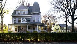
- Harrison Square Historic District
-
Harrison Square Historic District
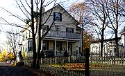
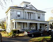
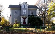
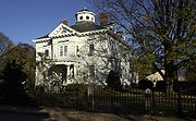
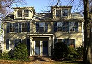
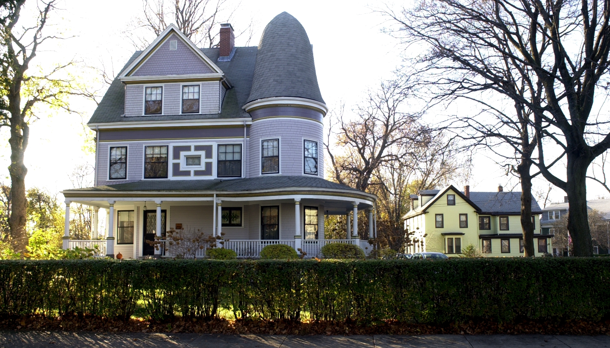
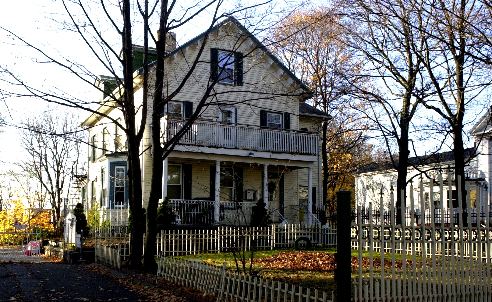
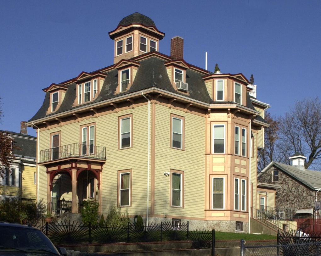
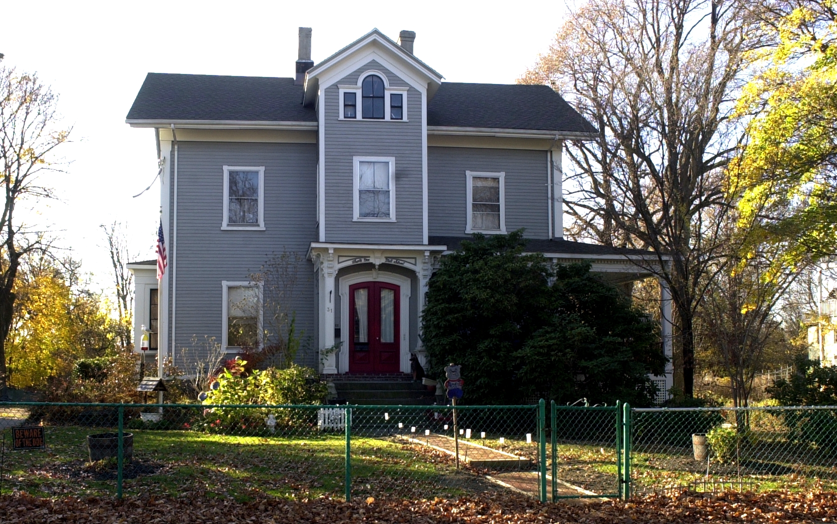
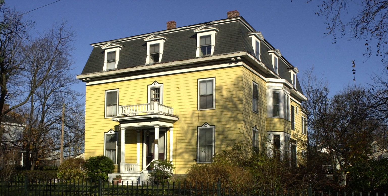
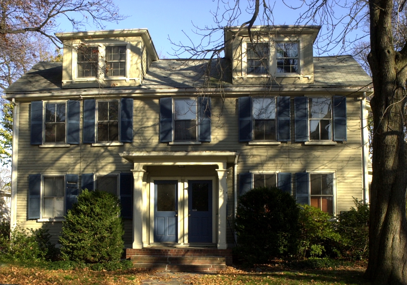
 House on Mill Street
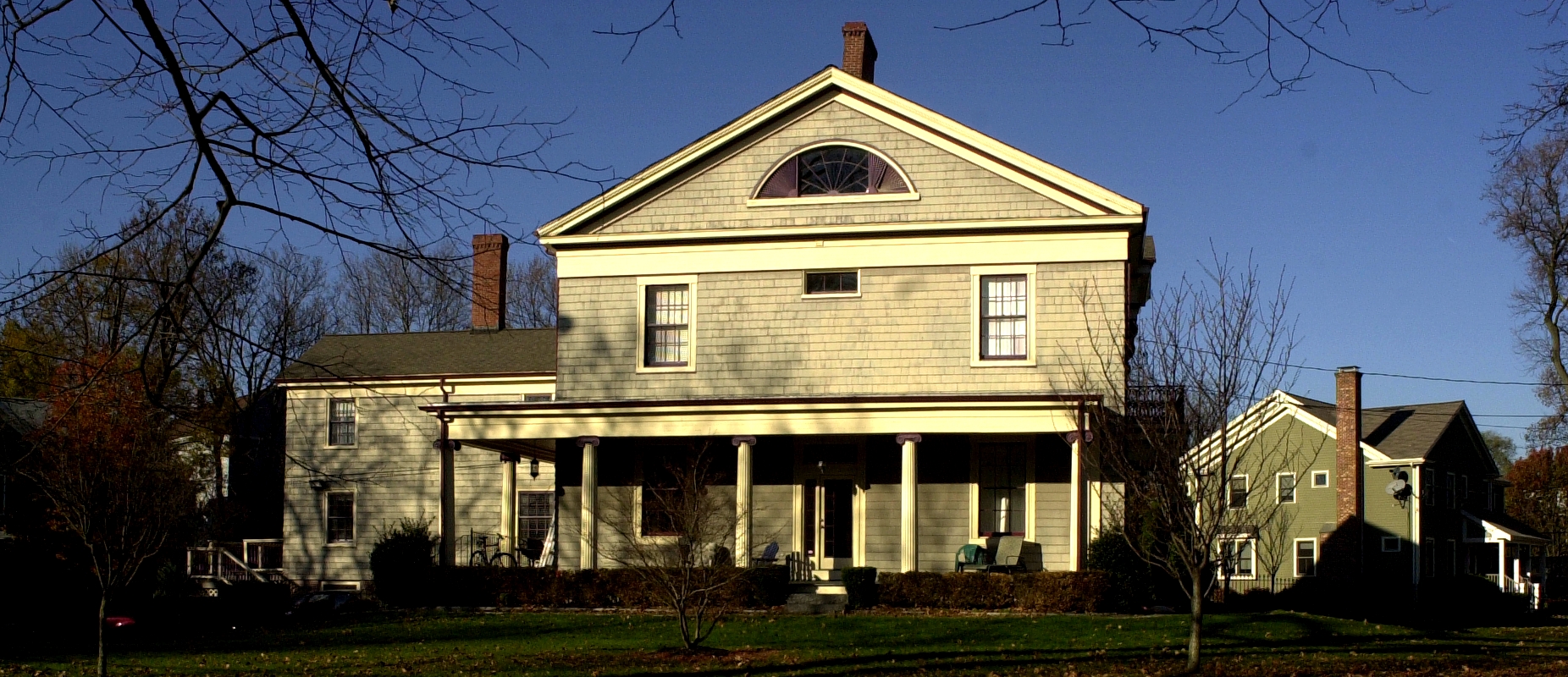
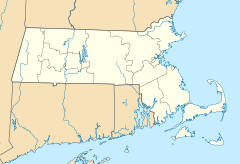

Location: Boston, Massachusetts Coordinates: 42°17′55″N 71°3′7″W / 42.29861°N 71.05194°WCoordinates: 42°17′55″N 71°3′7″W / 42.29861°N 71.05194°W Built: 1832 Architect: Luther Briggs, Jr.
John A. FoxArchitectural style: Federal, Greek Revival Governing body: Local NRHP Reference#: 02001190
[1]Added to NRHP: October 22, 2002 Harrison Square Historic District (also known as Clam Point) is a historic district on Park, Everett, Freeport, Mill, Asland, Blanche Streets, and Victory Road in the Dorchester neighborhood of Boston, Massachusetts, USA.
Among the architects represented in the district are Luther Briggs, Jr., who also designed the Mount Wollaston Cemetery and John A. Fox, who also designed Tewksbury Hospital, both also on the National Register of Historic Places. In addition to the Federal and Greek Revival architecture noted on the National Register listing, most of the Victorian styles are also represented. The houses on Mill Street are a catalog of architectural styles of the 19th century. The district was added to the Register in 2002.
History
Clam Point used to be called Harrison Square, or "The Square." The name was a tribute to President William Henry Harrison and his visit to Dorchester in 1840. Harrison Square had been used to refer to both the Harrison Square commercial area around the Old Colony Railroad depot (1844), and the residential district later named Clam Point.
The Harrison name fell into disuse since the railroad line closed in the 1950s. The Harrison Square Depot was demolished around 1970. The name Clam Point was likely put into use by real estate developers in the 1970s for marketing purposes.
Clam Point did not have commercial significance for Dorchester until the early 19th century when ship building and trading took place in close proximity at Commercial Point.
Commerce suffered and declined by the time of The War of 1812 in the area. Although there had been whale and cod fisheries after that, it wasn't until the arrival of the Old Colony Railroad during the mid-1840s that residential development was seriously undertaken. Many affluent families had moved into the area by 1850.
In the 1840s and 1850s, there was a development of large Italianate residences on Park Street. Luther Briggs, John A. Fox, and Mary E. Noyes were among the famous architects who had designed some significant houses for the area. By the 1890s, the area gained some prominence as a summer resort with a hotel called Russell House as a centerpiece. By the late 1890s, the Dorchester Yacht Club had been established on Freeport Street.
By the early 20th century, the area began to be populated by recent immigrants to the country, such as the Irish, Italian, and Polish. In the 1930s, due to national economic distress of the Great Depression, many of the large houses were converted to multiple rental units. A factor in the affluent residential decline of the area was the continued development of the nearby Commercial Point industrial area.
The construction of Morrissey Boulevard (the Old Colony Parkway) and the Southeast Expressway in the l950s both distanced Mill Street and Clam Point from the waterfront area and divided the area into two isolated halves.
Houses on Mill Street


References
- ^ "National Register Information System". National Register of Historic Places. National Park Service. 2008-04-15. http://nrhp.focus.nps.gov/natreg/docs/All_Data.html.
- Bacon, Edwin Munroe, and Edward, George, "Ellis Bacon's Dictionary of Boston", Houghton, Mifflin and company, 1886. Cf. p. 132-133.
- "Harrison Square District" - National Register Listing: Harrison Square Historic District a/k/a Clam Point Historic District; Report prepared in 2002.
U.S. National Register of Historic Places Topics Lists by states Alabama • Alaska • Arizona • Arkansas • California • Colorado • Connecticut • Delaware • Florida • Georgia • Hawaii • Idaho • Illinois • Indiana • Iowa • Kansas • Kentucky • Louisiana • Maine • Maryland • Massachusetts • Michigan • Minnesota • Mississippi • Missouri • Montana • Nebraska • Nevada • New Hampshire • New Jersey • New Mexico • New York • North Carolina • North Dakota • Ohio • Oklahoma • Oregon • Pennsylvania • Rhode Island • South Carolina • South Dakota • Tennessee • Texas • Utah • Vermont • Virginia • Washington • West Virginia • Wisconsin • WyomingLists by territories Lists by associated states Other Categories:- Historic districts in Massachusetts


Wikimedia Foundation. 2010.