- Mountain Street
-
Rue de la Montagne 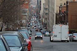
Rue de la Montagne looking southward.Length: 2.2 km (1.4 mi) Location: Between Doctor Penfield Avenue and Wellington Street Coordinates: 45°29′54″N 73°34′33″W / 45.498359°N 73.575949°W Construction Construction start: 1761 Mountain Street (officially Rue de la Montagne) is a north-south street located in downtown Montreal, Quebec, Canada. It links Doctor Penfield Avenue in the north and Wellington Street in the south. Notable businesses on Rue de la Montagne, include Ogilvy's and Hôtel de la Montagne.
Name
According to the Commission de toponymie du Québec, the street is in named for Mount Royal. A 1761 map by Journain de la Brosse shows a trail at the location of the current street called Chemin des Sauvages de la Montagne. It is also found under the name Chemin de la Montagne in later maps, such as the map by surveyor Jean Péladeau in 1778.[1]
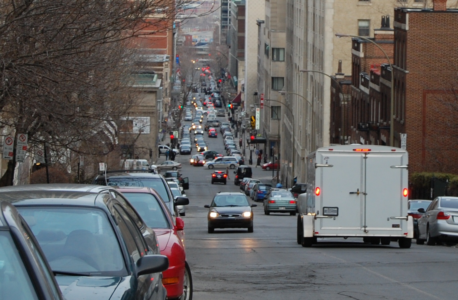
 Rue de la Montagne, downtown.
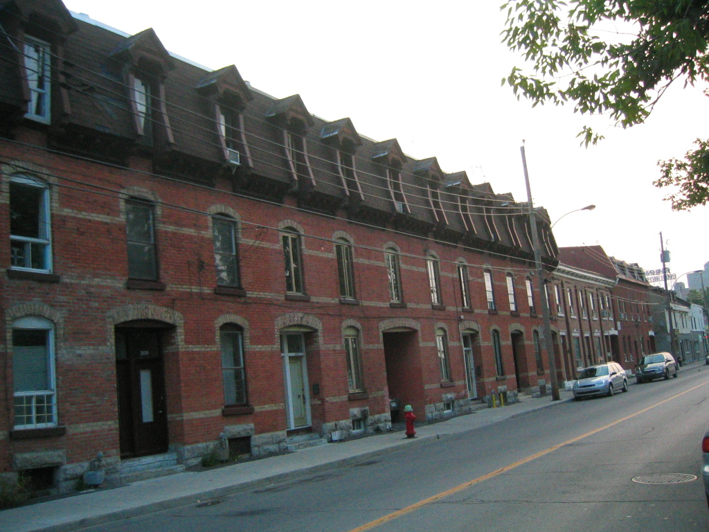
 Rue de la Montagne in the Griffintown neighbourhood.
It is said[by whom?] that Rue de la Montagne was named after Jacob Mountain, first Anglican bishop of Quebec, or his son Bishop George Jehoshaphat Mountain. However, Jacob Mountain was neither the bishop nor resident in Quebec until 1793, long after the creation of maps bearing the name Chemin de la Montagne.
References
Coordinates: 45°29′54″N 73°34′33″W / 45.498359°N 73.575949°W
Categories:- Quebec road stubs
- Montreal geography stubs
- Streets in Montreal

Wikimedia Foundation. 2010.