- Côte-des-Neiges Road
-
Côte-des-Neiges Road 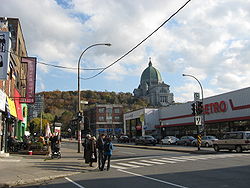
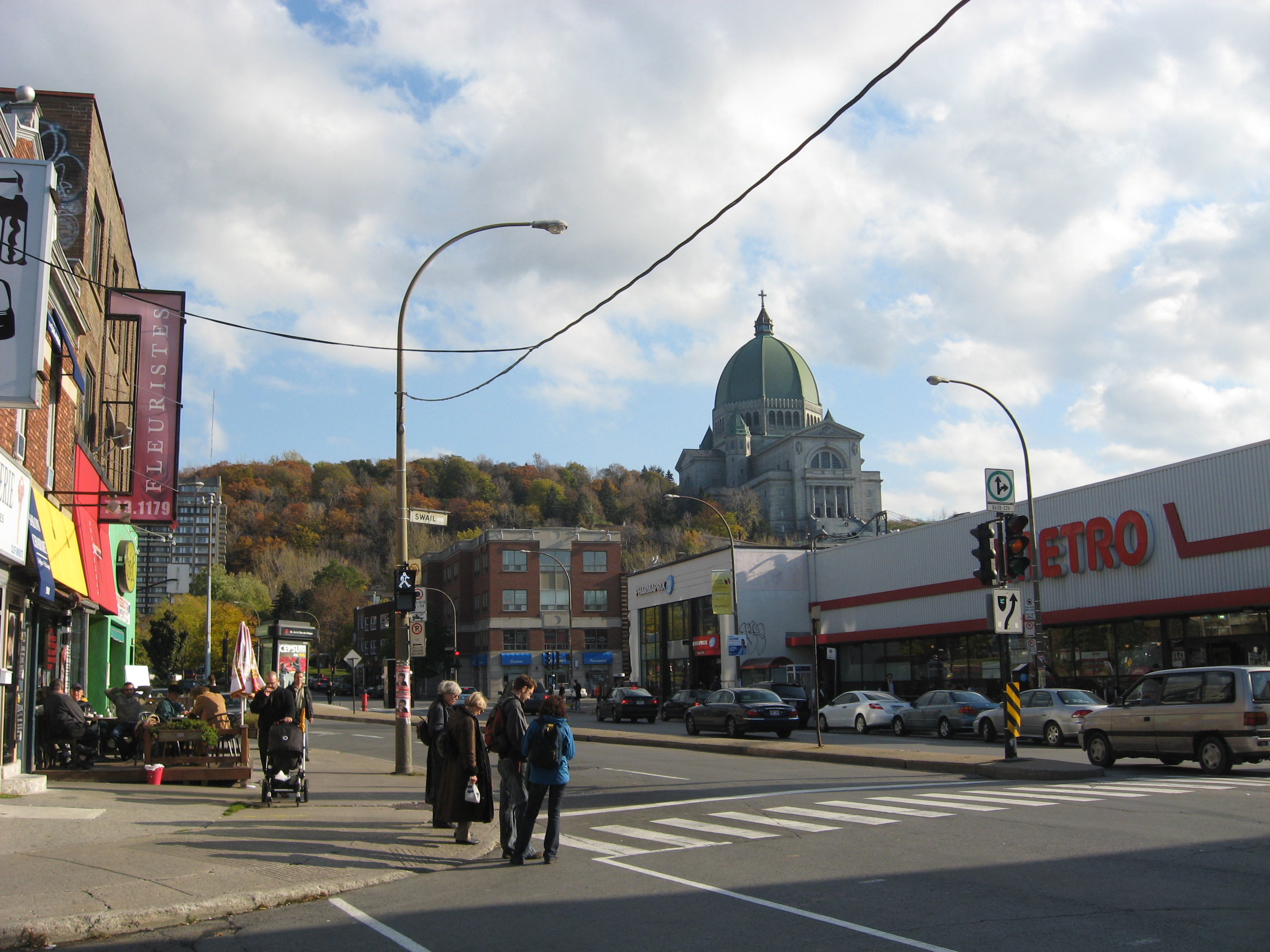
Côte-des-Neiges Road at Swail Avenue in Côte-des-Neiges, with Saint Joseph's Oratory in the distance and a Metro to the right.Owner: City of Montreal Length: 5.1 km (3.2 mi) Location: Between Jean Talon Street and Sherbrooke Street Coordinates: 45°29′43″N 73°35′40″W / 45.495315°N 73.594553°W Construction Inauguration: 1862 Côte-des-Neiges Road (officially chemin de la Côte-des-Neiges) is a street in Montreal, home to Plaza Côte-des-Neiges and served by Métro Côte-des-Neiges. It extends from the intersection Sherbrooke Street and Guy Street in the south to the intersection of Jean-Talon Street and Laird Boulevard in the north.
It is the economic and cultural heart of the Côte-des-Neiges neighbourhood and features a variety of diverse cuisine in its many restaurants, such as Québécois/Canadian, Chinese, Lebanese, Vietnamese and Italian alongside many of the popular franchises.
Coordinates: 45°29′43″N 73°35′40″W / 45.495315°N 73.594553°W
Categories:- Streets in Montreal
- Restaurant districts and streets
- Montreal stubs
- Quebec road stubs
Wikimedia Foundation. 2010.