- Louis Bisson Bridge
Infobox Bridge
bridge_name =Louis Bisson Bridge 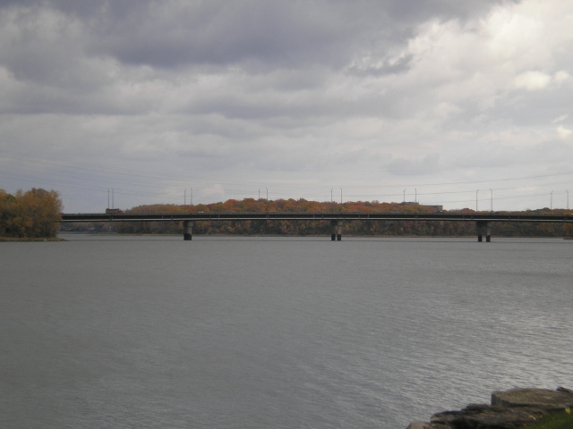
caption = Louis Bisson Bridge seen fromPierrefonds
official_name =
carries =Quebec Autoroute 13
crosses =Rivière des Prairies
locale =Montreal, Quebec andLaval, Quebec
maint =Transports Québec
id =
design =
mainspan =
length =
width =
height =
load =
clearance =
below =
traffic =
begin =
complete =
open =
closed =
toll =
map_cue =
map_
map_text =
map_width =
coordinates = Coord |45|30|39.2|N|73|45|50|W
lat =
long =Louis Bisson Bridge spans the Rivière des Prairies between the eastern tip of the former city of Pierrefonds and the district of Chomedey in Laval. It carries 7 lanes of
Quebec Autoroute 13 , including onereversible lane at the center. That lane is an example of a permanent zipper lane.ee also
* List of bridges spanning the Rivière des Prairies
*List of crossings of the Rivière des Prairies Crossings navbox
structure = Crossings
place =Rivière des Prairies
bridge =Louis Bisson Bridge
bridge signs =
upstream =Railway bridges, R des P
upstream signs =Canadian National Railway /AMT
downstream =Lachapelle Bridge
downstream signs =
Wikimedia Foundation. 2010.