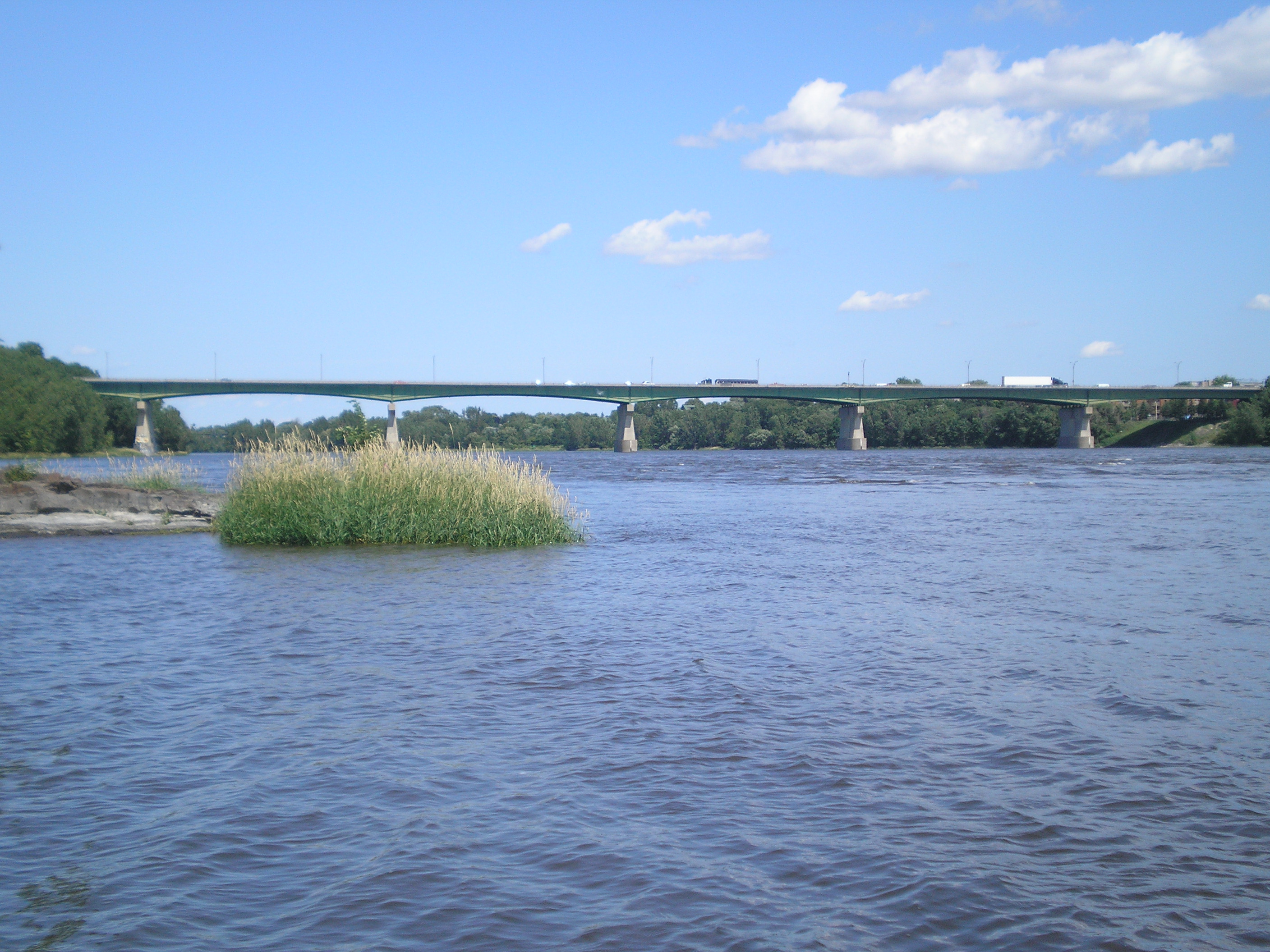
- Pie IX Bridge
Infobox_Bridge
bridge_name= Pie IX
caption= The Pie IX Bridge is currently the easternmost bridge connecting Laval to the Island of Montreal.
official_name=
also_known_as=
carries= 6 lanes of Autoroute 25 and Route 125
crosses=Rivière des Prairies
locale=Laval, Quebec andMontreal ,Quebec ,Canada
maint=Transports Québec
id=
design=
mainspan =
length =
width=
clearance=
below=
traffic=
open=1937 (rebuilt1967 )
closed=
toll=
map_cue=
map_
map_text=
map_width=
coordinates=
lat=
long=The Pie IX Bridge is a
Quebec bridge, spanning theRivière des Prairies . It connects the Saint-Vincent-de-Paul area of Laval, onÎle Jésus , and the borough of Montreal North inMontreal , on theIsland of Montreal . The bridge is part of Autoroute 25 until the construction of a new toll bridge which would connect the two branches of A-25 instead of being part of a multiplex with Autoroute 40 until Pie IX Boulevard.It was named after
Pope Pius IX since Pie is the French name for Pius.It is also called (apparently the official name) Le Caron Bridge. [ [http://ville.montreal.qc.ca/portal/page?_pageid=165,705436&_dad=portal&_schema=PORTAL Les Archives - Le Pont Pie-IX] ]
ee also
*List of bridges spanning the Rivière des Prairies
*List of crossings of the Rivière des Prairies
*List of bridges in Montreal Crossings navbox
structure = Crossings
place =Rivière des Prairies
bridge = Pie IX Bridge
bridge signs =
upstream =Centrale de la Rivière des Prairies 3Dam s
upstream signs =Hydro-Québec
downstream = Highway 25 Bridge (under construction)
downstream signs = (future)References
Wikimedia Foundation. 2010.

