- Lukmanier Pass
-
Lukmanier Pass 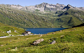
Elevation 1,915 m (6,283 ft) Location Location in Switzerland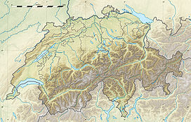

Location  Switzerland
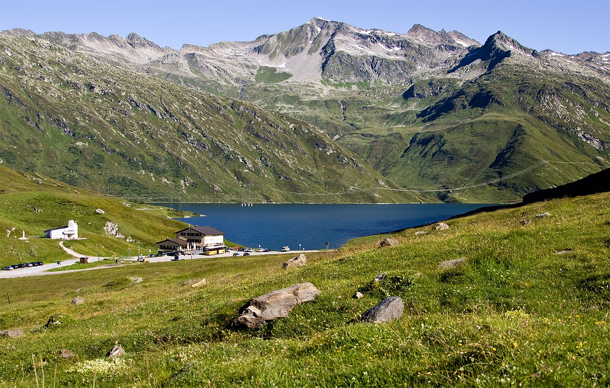
Range Lepontine Alps Coordinates 46°33′46″N 8°48′03″E / 46.56278°N 8.80083°ECoordinates: 46°33′46″N 8°48′03″E / 46.56278°N 8.80083°E Lukmanier Pass (Italian: Passo del Lucomagno, Romansh: Cuolm Lucmagn) is a pass (el. 1916 m.) in the Swiss Alps.
The road from Disentis/Mustér in the canton of Graubünden leads through the Val Medel across the pass to the Blenio valley and Biasca in the canton of Ticino.
The Pass is kept opened during the winter.
See also
- List of highest paved roads in Europe
- List of mountain passes
External links
- Lukmanier Pass in German, French and Italian in the online Historical Dictionary of Switzerland.
Categories:- Mountain passes of Ticino
- Mountain passes of the Alps
- Mountain passes of Graubünden
- Ticino geography stubs
- Graubünden geography stubs
Wikimedia Foundation. 2010.