- Crazy Mountains
-
Crazy Mountains Range 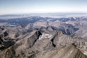 Crazy Mountains
Country United States State Montana Part of Rocky Mountains Highest point Crazy Peak - elevation 11,214 ft (3,418 m) - coordinates 46°01′04″N 110°16′36″W / 46.01778°N 110.27667°W Length 40 mi (64 km), N/S Width 15 mi (24 km), E/W Area 1,554 km2 (600 sq mi) 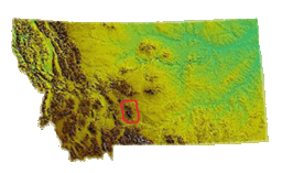 Location within Montana
The Crazy Mountains, often called the Crazies, are a mountain range in the northern Rocky Mountains in the U.S. state of Montana.
Contents
Geography
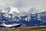
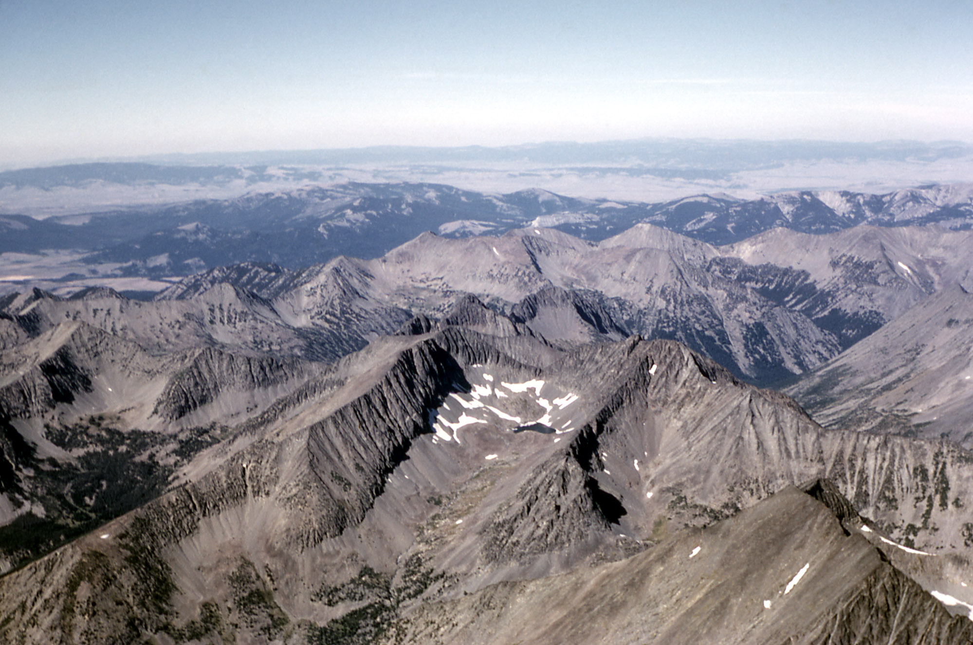
Spanning a distance of 40 miles (64 km), the Crazy Mountains are located between the Musselshell and Yellowstone rivers. The highest peak is Crazy Peak at 11,214 feet (3,418 m). Rising over 7,000 feet (2,130 m) above the Great plains to the east, the Crazies dominate their surroundings and are plainly visible just north of Interstate 90.
The Crazy Mountains form an isolated island range east of the Continental Divide. Others include the Castle Mountains, Little Belt Mountains, Big Snowy Mountains, Little Snowy Mountains, Highwood Mountains, Sweet Grass Hills, Bull Mountains and, in the southeastern corner of the state near Ekalaka, the Long Pines and Short Pines.
Features
Geological features of the Crazy Mountains include:
- Shields River
- South Fork Musselshell River
- Big Timber Creek
- Sweet Grass Creek
- Crazy Peak
- Grasshopper Glacier
Adjacent Counties
- Meagher County, Montana - north
- Sweet Grass County, Montana - east
- Park County, Montana - west, south
Wildlife
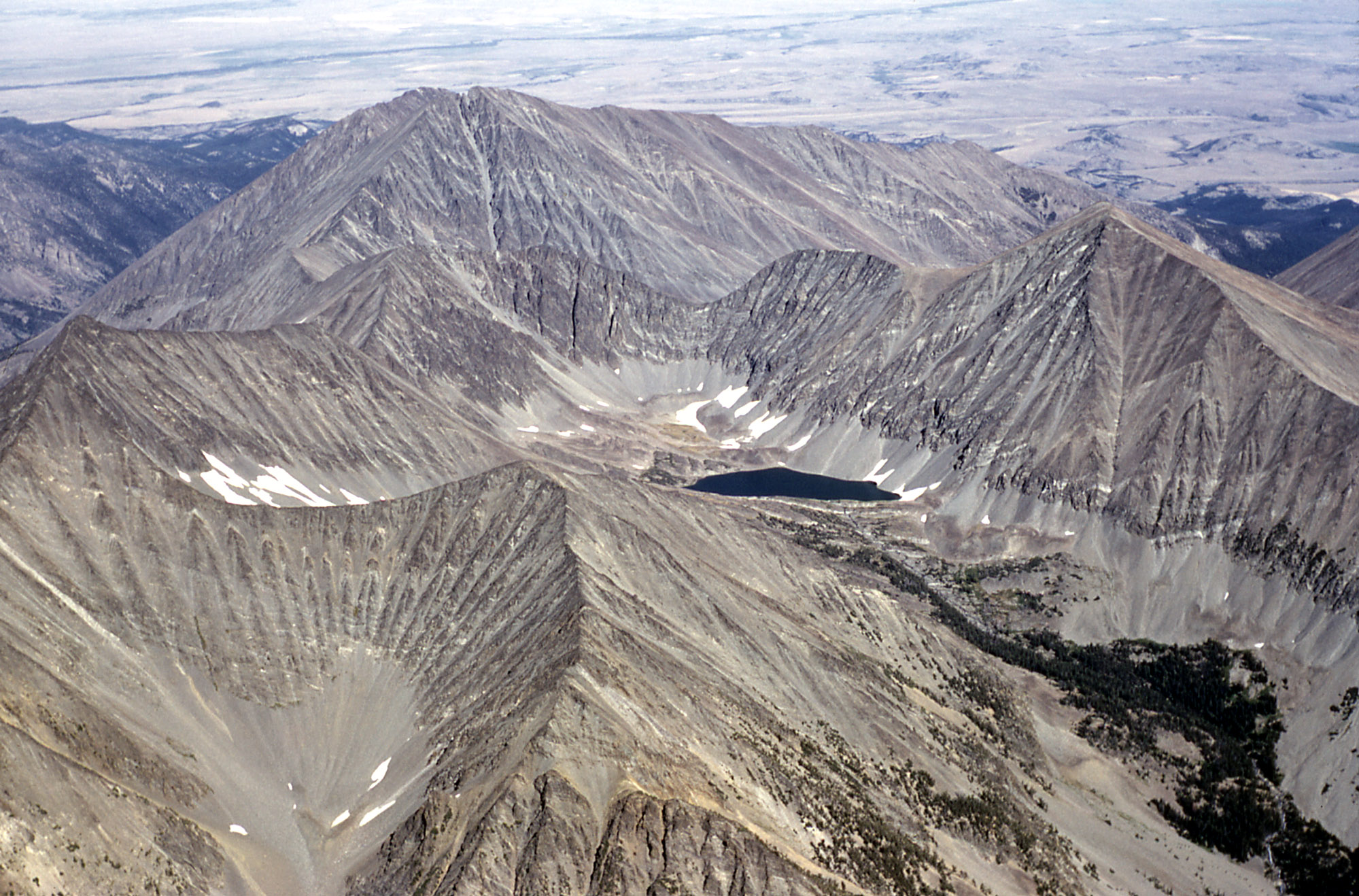
Due to the eastern location, these mountains are drier and less densely forested than other mountain ranges in Montana. There are at least 40 alpine lakes in the range, 15 of which are named. The Crazy Mountains sit in both Gallatin National Forest and Lewis and Clark National Forest. The Crazies support a healthy herd of mountain goats and the occasional elusive wolverine.
Trivia
- The Crazies are almost completely surrounded by private lands making access into the mountains somewhat difficult, especially in the southern section where the highest peaks are located.
- The name Crazy Mountains is said to be a shortened form of the name "Crazy Woman Mountains" given them, in compliment to their original Crow name, after a woman who went insane and lived in them after her family was killed in the westward settlement movement.[1]
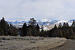
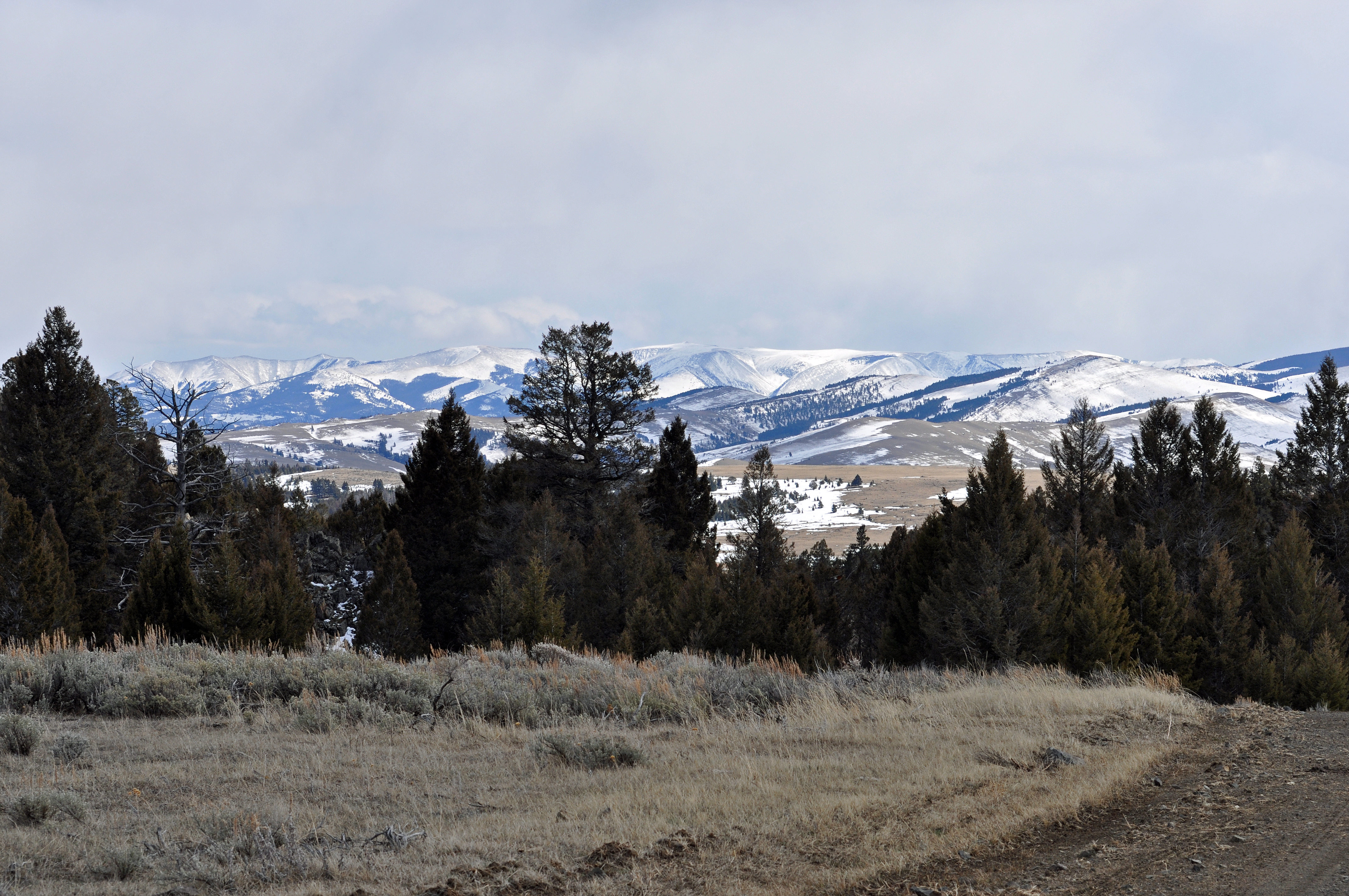
Images of the Crazy Mountains 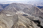
See also
- List of mountain ranges in Montana
Notes
- ^ * (This is an apocryphal account likely based more on myth than reality. The name is said to have arisen out of a translation error between early white explorers and the Crow natives who valued the Crazy Mountains as a location for vision quests. They attempted to convey this to the explorers, who, likely confused by the notions of vision quest, came to understand the Crazies as a place where one goes crazy.) Melroy, Mark (1986). Islands on the Prairie-The Mountain Ranges of Eastern Montana-Montana Geographic Series #13. Helena, Montana: Montana Magazine. p. 100. ISBN 0938314246.
External links
- Crazy Mountains: Backdrop to Big Timber SweetgrassCounty.Com
- Fishing, Hiking and Camping in the Crazy Mountains BigSkyFishing.Com
- "Crazy Mountains". Peakbagger.com. http://www.peakbagger.com/range.aspx?rid=14245.
 State of Montana
Helena (capital) Topics Index · History · Governors · People · Geography · State Government · Delegations · Visitor Attractions
Society Crime · Demographics · Economy · Education · Politics
Regions The Flathead · Glacier National Park · Regional designations of Montana · Western Montana · Yellowstone
Largest cities Counties Beaverhead · Big Horn · Blaine · Broadwater · Carbon · Carter · Cascade · Chouteau · Custer · Daniels · Dawson · Deer Lodge · Fallon · Fergus · Flathead · Gallatin · Garfield · Glacier · Golden Valley · Granite · Hill · Jefferson · Judith Basin · Lake · Lewis and Clark · Liberty · Lincoln · Madison · McCone · Meagher · Mineral · Missoula · Musselshell · Park · Petroleum · Phillips · Pondera · Powder River · Powell · Prairie · Ravalli · Richland · Roosevelt · Rosebud · Sanders · Sheridan · Silver Bow · Stillwater · Sweet Grass · Teton · Toole · Treasure · Valley · Wheatland · Wibaux · Yellowstone
Categories:- Mountain ranges of Montana
- Ranges of the Rocky Mountains
- Landforms of Sweet Grass County, Montana
- Landforms of Park County, Montana


Wikimedia Foundation. 2010.