- Clavet, Saskatchewan
-
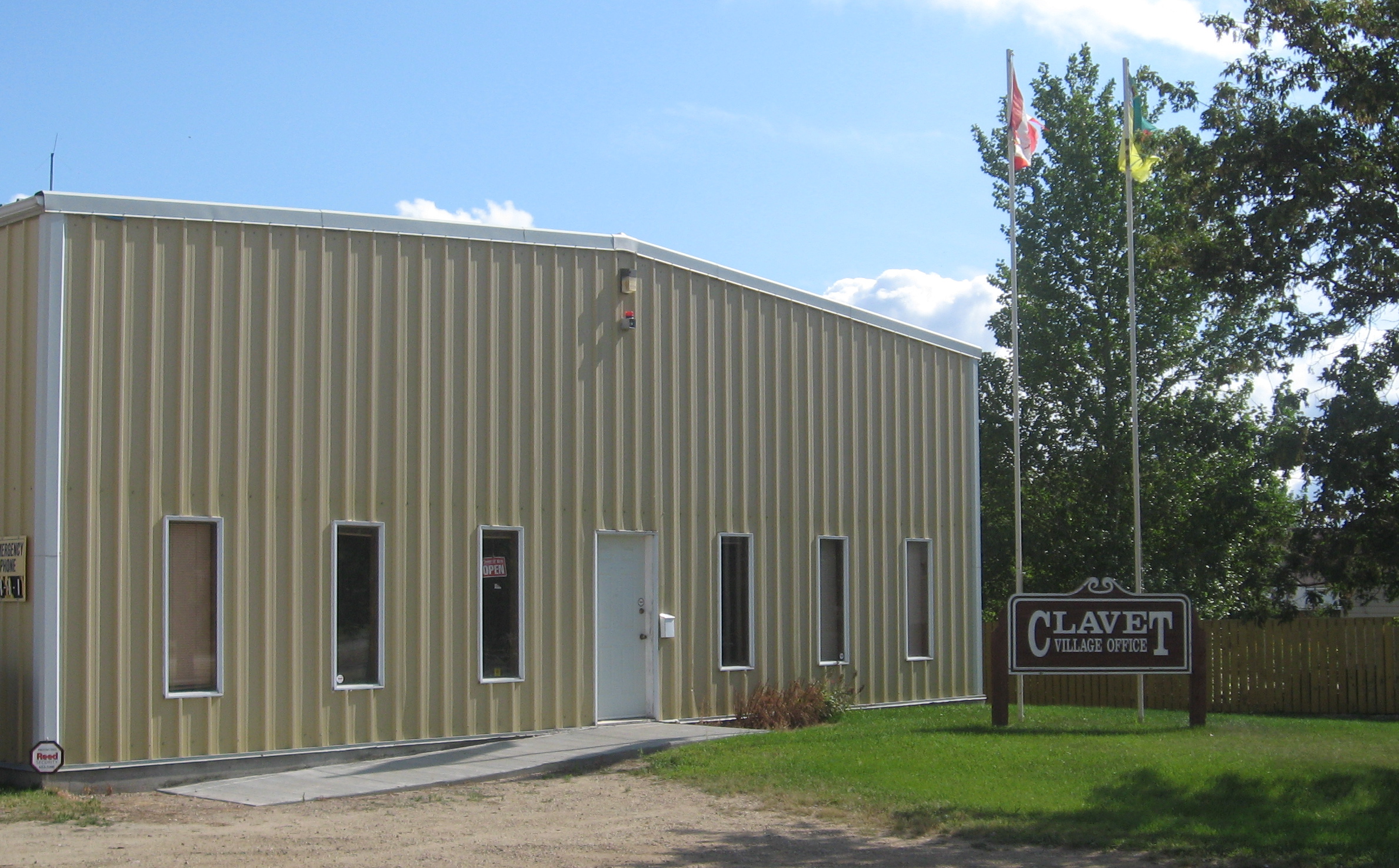
Village of Clavet Village office, Clavet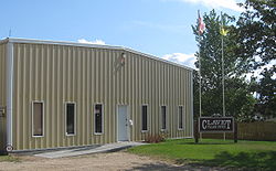
Motto: "A great place to live!" Location of Clavet in Saskatchewan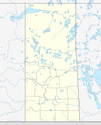

Coordinates: 51°58′44″N 106°19′52″W / 51.979°N 106.331°W Country Canada Province Saskatchewan Region Saskatchewan Census division 11 Rural Municipality Blucher Post office Founded 1904 (as "French") Incorporated (Village) 1908 (as "French") Government - Mayor Blair Bentley - Village Manager Monica Buddecke - Governing body Clavet Village Council Area - Total 0.61 km2 (0.2 sq mi) Population (2006) - Total 345 - Density 561.2/km2 (1,453.5/sq mi) Time zone CST Postal code S0K 0Y0 Area code(s) 306 Highways Highway 16 Website http://villageofclavet.com  Main fire station and village office
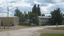 Main street
Clavet (pronounced "cluh vet") is a village located in central Saskatchewan, Canada. It is located on the Yellowhead Highway, about 15 kilometres southeast of Saskatoon.
Contents
History
Originally established as French, Saskatchewan the name of the community was changed to Clavet on December 1, 1909.[1] Due to its low population level, in 1927 the village was dissolved, with administrative responsibilities transferred to the rural municipality of Blucher; it was not until 1964 that the population reached a point that permitted Clavet to become an organized municipality again.[2]
Services
In Clavet there is a motel (and bar), two gas stations and a school. The school is kindergarten to grade twelve and it is named after the town (Clavet School). Clavet is approx. 30 minutes away from downtown Saskatoon.
Transportation
Clavet is located along the Saskatchewan Highway 16, just south of where it joins with Saskatchewan Highway 316.
The Saskatoon/Corman Air Park is located west of Clavet.
The Canadian National Railway passes through the village of Clavet.
Demographics
Canada census – Clavet, Saskatchewan Community Profile 2006 2001 Population:
Land area:
Population density:
Median age:
Total private dwellings:
Mean household income:345 (-3.4% from 2001)
0.61 km2 (0.24 sq mi)
561.2 /km2 (1,454 /sq mi)
33.4 (males: 32.0, females: 34.5)
123
$60,287357 (5.3% from 1996)
0.61 km2 (0.24 sq mi)
580.6 /km2 (1,504 /sq mi)
32.1 (males: 32.0, females: 32.2)
120
$60,886References: 2006[3] 2001[4] See also
References
- ^ "Database of Postpasters". Library and Archives Canada. http://www.collectionscanada.gc.ca/databases/post-offices. Retrieved 2011-03-06.
- ^ "Village of Clavet - History". Village of Clavet. http://villageofclavet.com/page.php?page_id=28. Retrieved 2011-03-06.
- ^ "2006 Community Profiles". Statistics Canada. Government of Canada. 2009-02-24. http://www12.statcan.ca/census-recensement/2006/dp-pd/prof/92-591/index.cfm?Lang=E. Retrieved 2011-03-06.
- ^ "2001 Community Profiles". Statistics Canada. Government of Canada. 2007-02-01. http://www12.statcan.ca/english/profil01/CP01/Index.cfm?Lang=E. Retrieved 2011-03-06.
External links

Saskatoon Aberdeen St.Denis Casa Rio 
Colonsay  Clavet

Dundurn Shields Bradwell  Subdivisions of Saskatchewan
Subdivisions Communities Cities Estevan · Flin Flon (part) · Humboldt · Lloydminster (part) · Martensville · Meadow Lake · Melfort · Melville · Moose Jaw · North Battleford · Prince Albert · Regina · Saskatoon · Swift Current · Weyburn · YorktonRural municipalities Aberdeen · Abernethy · Antelope Park · Antler · Arborfield · Argyle · Arlington · Arm River · Auvergne · Baildon · Barrier Valley · Battle River · Bayne · Beaver River · Bengough · Benson · Big Arm · Biggar · Big Quill · Big River · Big Stick · Birch Hills · Bjorkdale · Blaine Lake · Blucher · Bone Creek · Bratt's Lake · Brittania · Brock · Brokenshell · Browning · Buchanan · Buckland · Buffalo · Calder · Caledonia · Cambria · Cana · Canaan · Canwood · Carmichael · Caron · Chaplin · Chester · Chesterfield · Churchbridge · Clayton · Clinworth · Coalfields · Colonsay · Connaught · Corman Park · Cote · Coteau · Coulee · Craik · Cupar · Cut Knife · Cymri · Deer Forks · Douglas · Duck Lake · Dufferin · Dundurn · Eagle Creek · Edenwold · Elcapo · Eldon · Elfros · Elmsthorpe · Emerald · Enfield · Enniskillen · Enterprise · Estevan · Excel · Excelsior · Eyebrow · Eye Hill · Fertile Belt · Fertile Valley · Fillmore · Fish Creek · Flett's Springs · Foam Lake · Fox Valley · Francis · Frenchman Butte · Frontier · Gainsborough · Garden River · Garry · Glen Bain · Glen McPherson · Glenside · Golden West · Good Lake · Grandview · Grant · Grass Lake · Grassy Creek · Gravelbourg · Grayson · Great Bend · Greenfield · Griffin · Gull Lake · Happyland · Happy Valley · Harris · Hart Butte · Hazel Dell · Hazelwood · Heart's Hill · Hillsborough · Hillsdale · Hoodoo · Hudson Bay · Humboldt · Huron · Indian Head · Insinger · Invergordon · Invermay · Ituna Bon Accord · Kellross · Kelvington · Keys · Key West · Kindersley · King George · Kingsley · Kinistino · Lacadena · Lac Pelletier · Laird · Lajord · Lake Alma · Lake Johnston · Lakeland · Lake Lenore · Lake of the Rivers · Lakeside · Lakeview · Langenburg · Last Mountain Valley · Laurier · Lawtonia · Leask · Leroy · Lipton · Livingston · Lomond · Lone Tree · Longlaketon · Loon Lake · Loreburn · Lost River · Lumsden · Manitou Lake · Mankota · Maple Bush · Maple Creek · Mariposa · Marquis · Marriott · Martin · Maryfield · Mayfield · McCraney · McKillop · McLeod · Meadow Lake · Medstead · Meeting Lake · Meota · Mervin · Milden · Milton · Miry Creek · Monet · Montmartre · Montrose · Moose Creek · Moose Jaw · Moose Mountain · Moose Range · Moosomin · Morris · Morse · Mountain View · Mount Hope · Mount Pleasant · Newcombe · Nipawin · North Battleford · North Qu'Appelle · Norton · Oakdale · Old Post · Orkney · Paddockwood · Parkdale · Paynton · Pense · Perdue · Piapot · Pinto Creek · Pittville · Pleasantdale · Pleasant Valley · Ponass Lake · Poplar Valley · Porcupine · Prairiedale · Prairie Rose · Preeceville · Prince Albert · Progress · Reciprocity · Redberry · Redburn · Reford · Reno · Riverside · Rocanville · Rodgers · Rosedale · Rosemount · Rosthern · Round Hill · Round Valley · Rudy · Runnymede · Saltcoats · Sarnia · Saskatchewan Landing · Sasman · Scott · Senlac · Shamrock · Shellbrook · Shell Lake · Sherwood · Silverwood · Sliding Hills · Snipe Lake · Souris Valley · South Qu'Appelle · Spalding · Spiritwood · Spy Hill · St. Andrews · Stanley · Star City · St. Louis · St. Peter · St. Philips · Stonehenge · Storthoaks · Surprise Valley · Sutton · Swift Current · Tecumseh · Terrell · The Gap · Three Lakes · Tisdale · Torch River · Touchwood · Tramping Lake · Tullymet · Turtle River · Usborne · Val Marie · Vanscoy · Victory · Viscount · Wallace · Walpole · Waverley · Wawken · Webb · Wellington · Weyburn · Wheatlands · Whiska Creek · White Valley · Willner · Willow Bunch · Willow Creek · Willowdale · Wilton · Winslow · Wise Creek · Wolseley · Wolverine · Wood Creek · Wood River · WrefordTopics  Category ·
  Portal ·
  WikiProject
Coordinates: 51°58′44″N 106°19′52″W / 51.979°N 106.331°W
Categories:- Villages in Saskatchewan
- Saskatchewan geography stubs


Wikimedia Foundation. 2010.