- North Qu'Appelle No. 187, Saskatchewan
-

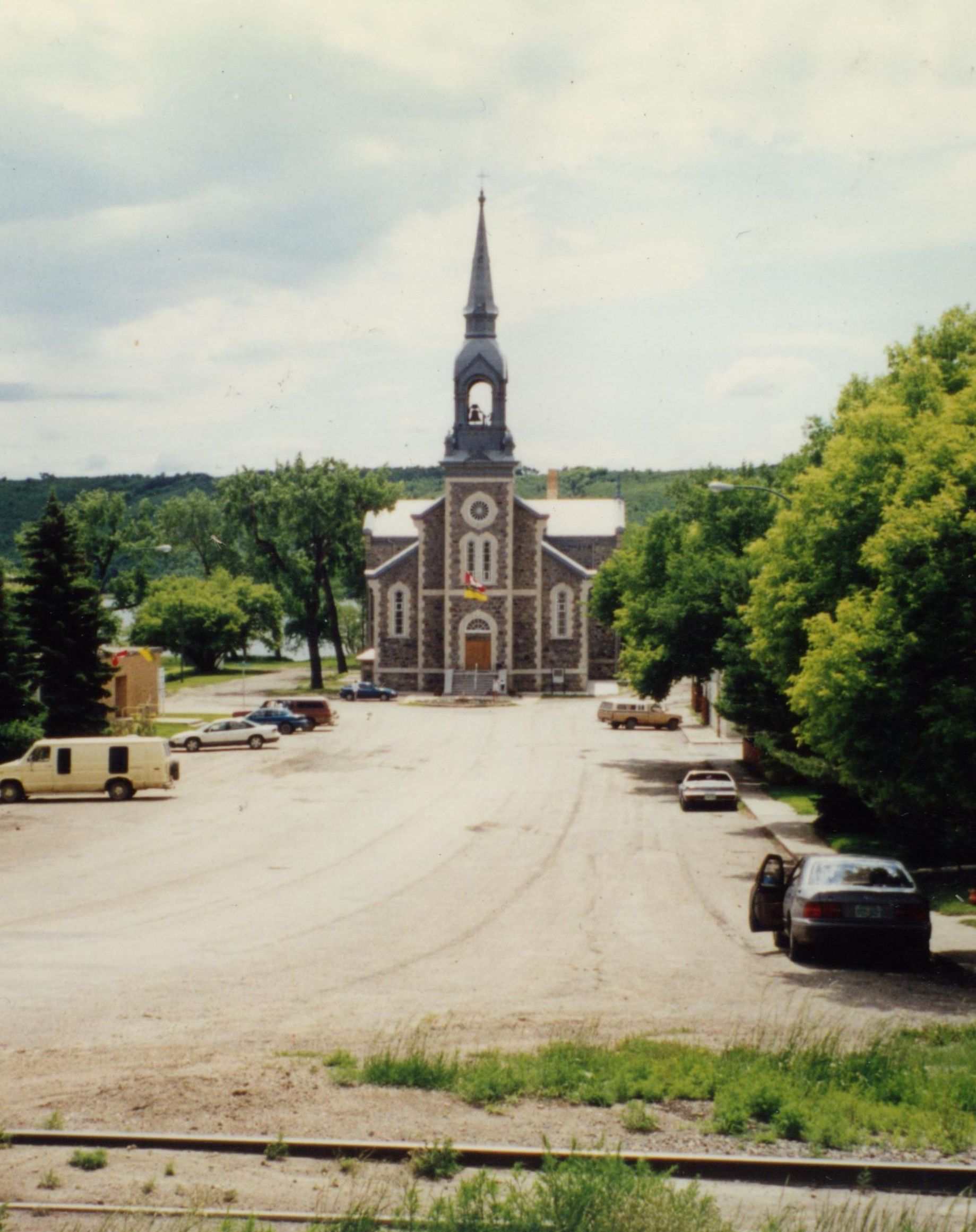
North Qu'Appelle No. 187, Saskatchewan is a rural municipality in south eastern Saskatchewan. North Qu'Appelle No. 187 RM was formed December 12, 1910
Contents
Communities
The following communities are located in this municipality. The towns and villages are not technically considered to be part of the rural municipality, but the hamlets are. Also not considered to be part of the R.M. are several First Nations Indian reserves that lie within the territory of North Qu'Appelle No 187.
Towns
Villages
Resort Villages
- B-Say-Tah
- Fort San
Organized Hamlets
- Pasqua Lake
- Taylor Beach
Hamlets
- Katepwa South
- Lakeview Beach
Rm Profile
According to the Canada 2001 Census:
- Population: 838
- % Change (1996–2001): 1.2
- Dwellings: 724
- Area (km²): 496.14
- Density (persons per km²): 1.7
Saskatchewan Railways and Railway Stations
(historic or current)
- Swan River - Preeceville - Melville - Regina Branch C.N.R -- serves Melville, Colmer, Duff, Finnie, Lorlie, Gillespie, Balcarres, Hugonard, Lebret, Fort Qu'Appelle, Muscow, Edgeley, Avonhurst, Edewold, Frankslake, Zehner, Victoria Plains, Regina.
Saskatchewan Highways and Roads
- For more information see also List of Saskatchewan provincial highways
- For more information see also List of Saskatchewan provincial roads
- Highway 56 -- serves Lebret
- Highway 10 -- serves Fort Qu'Appelle
- Highway 20
- Highway 35 -- serves Fort Qu'Appelle
- Highway 22 -- intersects with Saskatchewan Highway 35
See also
Footnotes
- ^ Canadian Maps: January 1925 Waghorn's Guide. Post Offices in Man. Sask. Alta. and West Ontario.
- ^ Eversoft Streets and Trips
External links
- 2001 Census - Statistics Canada's page on the 2001 Census.
- Map of North Qu'Appelle No. 187 at Statcan
 Subdivisions of Saskatchewan
Subdivisions Communities Cities Estevan · Flin Flon (part) · Humboldt · Lloydminster (part) · Martensville · Meadow Lake · Melfort · Melville · Moose Jaw · North Battleford · Prince Albert · Regina · Saskatoon · Swift Current · Weyburn · YorktonRural municipalities Aberdeen · Abernethy · Antelope Park · Antler · Arborfield · Argyle · Arlington · Arm River · Auvergne · Baildon · Barrier Valley · Battle River · Bayne · Beaver River · Bengough · Benson · Big Arm · Biggar · Big Quill · Big River · Big Stick · Birch Hills · Bjorkdale · Blaine Lake · Blucher · Bone Creek · Bratt's Lake · Brittania · Brock · Brokenshell · Browning · Buchanan · Buckland · Buffalo · Calder · Caledonia · Cambria · Cana · Canaan · Canwood · Carmichael · Caron · Chaplin · Chester · Chesterfield · Churchbridge · Clayton · Clinworth · Coalfields · Colonsay · Connaught · Corman Park · Cote · Coteau · Coulee · Craik · Cupar · Cut Knife · Cymri · Deer Forks · Douglas · Duck Lake · Dufferin · Dundurn · Eagle Creek · Edenwold · Elcapo · Eldon · Elfros · Elmsthorpe · Emerald · Enfield · Enniskillen · Enterprise · Estevan · Excel · Excelsior · Eyebrow · Eye Hill · Fertile Belt · Fertile Valley · Fillmore · Fish Creek · Flett's Springs · Foam Lake · Fox Valley · Francis · Frenchman Butte · Frontier · Gainsborough · Garden River · Garry · Glen Bain · Glen McPherson · Glenside · Golden West · Good Lake · Grandview · Grant · Grass Lake · Grassy Creek · Gravelbourg · Grayson · Great Bend · Greenfield · Griffin · Gull Lake · Happyland · Happy Valley · Harris · Hart Butte · Hazel Dell · Hazelwood · Heart's Hill · Hillsborough · Hillsdale · Hoodoo · Hudson Bay · Humboldt · Huron · Indian Head · Insinger · Invergordon · Invermay · Ituna Bon Accord · Kellross · Kelvington · Keys · Key West · Kindersley · King George · Kingsley · Kinistino · Lacadena · Lac Pelletier · Laird · Lajord · Lake Alma · Lake Johnston · Lakeland · Lake Lenore · Lake of the Rivers · Lakeside · Lakeview · Langenburg · Last Mountain Valley · Laurier · Lawtonia · Leask · Leroy · Lipton · Livingston · Lomond · Lone Tree · Longlaketon · Loon Lake · Loreburn · Lost River · Lumsden · Manitou Lake · Mankota · Maple Bush · Maple Creek · Mariposa · Marquis · Marriott · Martin · Maryfield · Mayfield · McCraney · McKillop · McLeod · Meadow Lake · Medstead · Meeting Lake · Meota · Mervin · Milden · Milton · Miry Creek · Monet · Montmartre · Montrose · Moose Creek · Moose Jaw · Moose Mountain · Moose Range · Moosomin · Morris · Morse · Mountain View · Mount Hope · Mount Pleasant · Newcombe · Nipawin · North Battleford · North Qu'Appelle · Norton · Oakdale · Old Post · Orkney · Paddockwood · Parkdale · Paynton · Pense · Perdue · Piapot · Pinto Creek · Pittville · Pleasantdale · Pleasant Valley · Ponass Lake · Poplar Valley · Porcupine · Prairiedale · Prairie Rose · Preeceville · Prince Albert · Progress · Reciprocity · Redberry · Redburn · Reford · Reno · Riverside · Rocanville · Rodgers · Rosedale · Rosemount · Rosthern · Round Hill · Round Valley · Rudy · Runnymede · Saltcoats · Sarnia · Saskatchewan Landing · Sasman · Scott · Senlac · Shamrock · Shellbrook · Shell Lake · Sherwood · Silverwood · Sliding Hills · Snipe Lake · Souris Valley · South Qu'Appelle · Spalding · Spiritwood · Spy Hill · St. Andrews · Stanley · Star City · St. Louis · St. Peter · St. Philips · Stonehenge · Storthoaks · Surprise Valley · Sutton · Swift Current · Tecumseh · Terrell · The Gap · Three Lakes · Tisdale · Torch River · Touchwood · Tramping Lake · Tullymet · Turtle River · Usborne · Val Marie · Vanscoy · Victory · Viscount · Wallace · Walpole · Waverley · Wawken · Webb · Wellington · Weyburn · Wheatlands · Whiska Creek · White Valley · Willner · Willow Bunch · Willow Creek · Willowdale · Wilton · Winslow · Wise Creek · Wolseley · Wolverine · Wood Creek · Wood River · WrefordTopics Coordinates: 50°46′21″N 103°52′10″W / 50.7725°N 103.86944°W
Categories:
Wikimedia Foundation. 2010.