- Reno No. 51, Saskatchewan
Infobox Settlement
name = Reno No. 51
official_name =
other_name =
native_name =
nickname =
settlement_type =Rural Municipality
motto =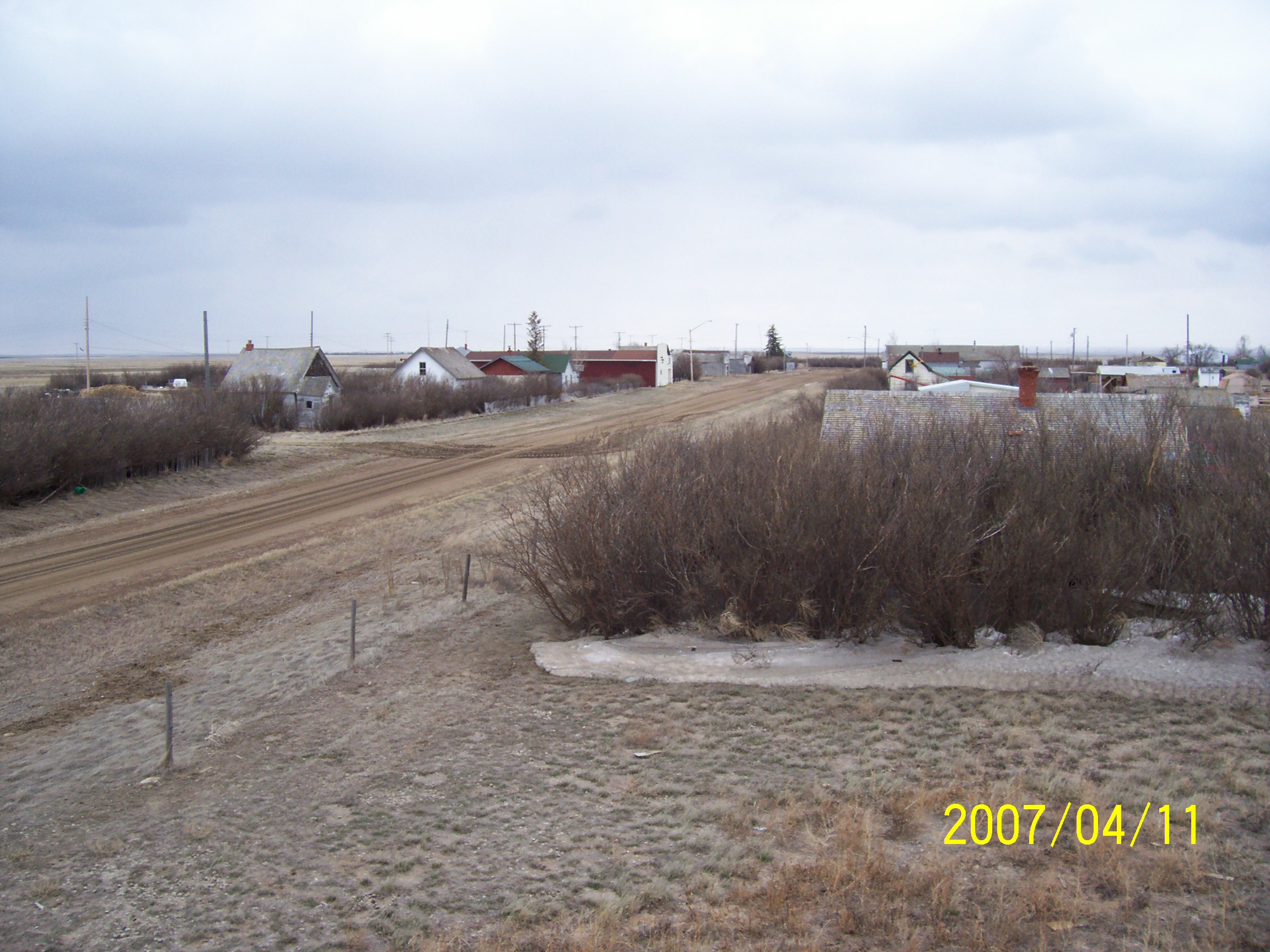
imagesize = 200px
image_caption = View of Robsart from theRobsart Hospital
flag_size =
image_
seal_size =
image_shield =
shield_size =
city_logo =
citylogo_size =
mapsize =
map_caption =
mapsize1 =
map_caption1 =
image_dot_
dot_mapsize =
dot_map_caption =
dot_x = |dot_y =
pushpin_
pushpin_map_caption = Location of "Reno No. 51" inSaskatchewan
latd= 49.288
longd=-109.502
pushpin_label_position = none
pushpin_mapsize =200
subdivision_type =Country
subdivision_name = CAN
subdivision_type1 = Province
subdivision_name1 = SK
subdivision_type2 = Region
subdivision_name2 = Southwest Saskatchewan
subdivision_type3 = Census division
subdivision_name3 = 4
government_footnotes = [Official website http://www.municipal.gov.sk.ca/apps/Pub/MDS/muniDetails.aspx?cat=10&mun=2527]
government_type =
leader_title = Governing body
leader_name = Reno No. 51 Council
leader_title1 = Municipal seat
leader_name1 = Consul
leader_title2 = Reeve
leader_name2 = Brian McMillan
leader_title3 =Councilor s
leader_name3 = Kevin Huery
Paul Harmon
Gary Zentner
Elmer Palmer
Scott Sanderson
Tim Amundson
Keith Wenzel
Blair Backman
Ross Beierbach
leader_title3 =Administrator
leader_name3 = Kim Lacelle
leader_title4 =
leader_name4 =
established_title = Established
established_date =
established_title2 = Incorporated
established_date2 =
established_title3 =
established_date3 =
area_magnitude =
unit_pref = metric
area_footnotes =
area_total_km2 =
area_land_km2 =
area_water_km2 =
area_total_sq_mi =
area_land_sq_mi =
area_water_sq_mi =
area_water_percent =
area_urban_km2 =
area_urban_sq_mi =
area_metro_km2 =
area_metro_sq_mi =
population_as_of = 2006
population_footnotes =
population_note =
population_total = 462
population_density_km2 = 0.1
population_density_sq_mi =
population_metro =
population_density_metro_km2 =
population_density_metro_sq_mi =
population_urban =
population_density_urban_km2 =
population_density_urban_sq_mi =
population_blank1_title = Dwellings
population_blank1 = 235
population_density_blank1_km2 =
population_density_blank1_sq_mi =
timezone = UTC
utc_offset = -6
timezone_DST =
utc_offset_DST =
latd=49.390 |latm= |lats= |latNS=
longd=-109.250 |longm= |longs= |longEW=
elevation_footnotes =
elevation_m =
elevation_ft =
postal_code_type =
postal_code = S0N 0P0
area_code = 306
blank_name = Highways
blank_info = Highway 13
Highway 18
Highway 21
Highway 615
blank1_name = Waterways
blank1_info =Cypress Lake
Battle Creek
Middle Creek
Lodge Creek
website = [http://www.municipal.gov.sk.ca/apps/Pub/MDS/muniDetails.aspx?cat=10&mun=2527 Official website]
footnotes =Reno No. 51 is a rural municipality in the Canadian province of
Saskatchewan , located in the Census Division 4, just north of the USA border, and east of theAlberta border, in the southwestern corner of theprovince . The seat of the municipality is located in the village of Consul.Demographics
In 2006, the
Rural municipality had a population of 462 in 235 dwellings, a 1.1% increase from 2001. On a surface of 3,460.66 km² it has a density of 0.1 inhabitants/km². [2006 Community Profiles http://www12.statcan.ca/english/census06/data/profiles/community/Details/Page.cfm?B1=All&Code1=4704019&Code2=47&Custom=&Data=Count&Geo1=CSD&Geo2=PR&Lang=E&SearchPR=01&SearchText=Ren+No.+51&SearchType=Begins]Communitys
The following communities are located in this municipality:
Villages
*Consul Seat of municipality.Hamlets
*Battle Creek
*Govenlock, dissolved as a villageJanuary 1 ,1976
*Merryflat
*Nashlyn
*Oxarat
*Palisade
*Rangeview
*Robsart, dissolved as a villageJanuary 1 ,2002 . [cite web
author=
publisher = Saskatchewan Health
title = Covered population 2002
accessdate = 2008-04-17
url = http://www.health.gov.sk.ca/adx/aspx/adxGetMedia.aspx?DocID=1578,94,88,Documents&MediaID=1019&Filename=covered-population-2002.pdf]
*Senate, dissolved as a villageJanuary 1 ,1994
*Vidora, former seat of the municipality.
*West Plains
*Willow CreekTransportation
The following is a list of Saskatchewan highways and provincial roads, and communitys that the highways pass through, within the municipality of Reno.
ee also
*
List of rural municipalities in Saskatchewan External links
* [http://www.municipal.gov.sk.ca/div/mds/maps/index.html#midish Map of Reno No. 51]
References
Saskatchewan rural municipalities navbox
ThisRM = Reno No. 51
NortheastRM =White Valley No. 49
NorthRM = Maple Creek No. 111
NorthwestRM =
EastRM = Frontier No. 19
SoutheastRM =
SouthRM =Montana
SouthwestRM =
WestRM = Cypress County,Alberta
Wikimedia Foundation. 2010.
Reno (disambiguation) — Reno may refer to:Places;United States *Reno, Nevada *Reno, Indiana *Reno, Ohio *Reno, Pennsylvania *Reno, Lamar County, Texas *Reno, Parker County, Texas *Reno County, Kansas *Reno Township, Michigan *Reno Township, Minnesota;Canada *Reno No. 51 … Wikipedia
Nashlyn, Saskatchewan — Hamlet … Wikipedia
Oxarat, Saskatchewan — Oxarat Hamlet … Wikipedia
Consul, Saskatchewan — See also: Consul Consul, Saskatchewan Village The Former Saskatchewan Wheat … Wikipedia
List of ghost towns in Saskatchewan — This list is incomplete; you can help by expanding it. The following is a list of communities that no longer exist or former Villages/Towns that have become unincorporated hamlets in the province of Saskatchewan, Canada. Ghost towns are towns… … Wikipedia
List of communities in Saskatchewan — Communities of the Province of Saskatchewan, Canada are incorporated towns, cities, villages, and resort villages and unincorporated organized hamlets.[1] Regional rural forms of administration are rural municipalities.[clarification needed]… … Wikipedia
Comunidades en Saskatchewan — Las Comunidades de la provincia de Saskatchewan, Canadá son todas las villas, ciudades, pueblos, incorporados, villas turísticas y aldeas organizadas no incorporadas.[1] Las formas rurales regionales de administración son municipalidades… … Wikipedia Español
Robsart, Saskatchewan — Infobox Settlement name = Robsart, Saskatchewan official name = other name = native name = nickname = settlement type = Hamlet motto = A Town With a Bright Future (1915) imagesize = image caption = View of Robsart from the hospital flag size =… … Wikipedia
Senate, Saskatchewan — Infobox Settlement name = Senate, Saskatchewan official name = other name = native name = nickname = settlement type = Hamlet motto = imagesize = image caption = flag size = image seal size = image shield = shield size = city logo = citylogo size … Wikipedia
List of rural municipalities in Saskatchewan — This is a list of rural municipalities in the Canadian province of SaskatchewanMediaWiki:Toc: Top 0–9 A B C D E F G H I K L M N O P R S T UV W Listing by rural number NOTOC A*Aberdeen No. 373 *Abernethy No. 186 *Antelope Park No. 322 *Antler No.… … Wikipedia
Reno No. 51, Saskatchewan

18+
© Academic, 2000-2024
- Contact us: Technical Support, Advertising
Dictionaries export, created on PHP, Joomla, Drupal, WordPress, MODx.