- Omeo Highway
-
Omeo Highway 
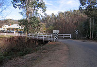
Omeo Highway crossing the Cobungra River at Anglers Rest, Victoria (Formerly  )
)Length 157 km (98 mi) Direction North-South From  Murray Valley Highway, Tallangatta, Victoria
via Eskdale, Mitta Mitta, Anglers Rest To  Great Alpine Road,
Omeo, VictoriaMajor junctions for full list see major intersections The Omeo Highway[1] is a 157 kilometre (km) road in eastern Victoria, Australia, connecting north-east Victoria to Gippsland over parts of the Victorian Alps.
From the north, the road begins at a turn-off on the Murray Valley Highway about 5 km east of Tallangatta, and proceeds south above the floodplain of the Mitta River to the settlements of Eskdale, and Mitta Mitta. The road is unsealed, steep and twisty for a distance of 20.5 km, from 36 km south of Mitta Mitta to 7 km south of the locality of Glen Wills, although it is passable by conventional 2wd vehicles in summer.[2][3]
 Omeo Highway crossing the Bundara River heading north, near Anglers Rest
The sealed road resumes between Glen Wills and Glen Valley localities, passes through Shannonvale and Anglers Rest, and terminates in the town of Omeo at a junction with the Great Alpine Road. The section of the Great Alpine Road from Omeo to Bruthen was formerly also part of the Omeo Highway.[4] The total length of the current road is approximately 161 km.
The northernmost section of the highway is relatively lightly travelled, as most traffic from Wodonga takes an alternative initial route along the Kiewa Valley Highway and Lockharts Gap Road, meeting the Omeo Highway near Eskdale.
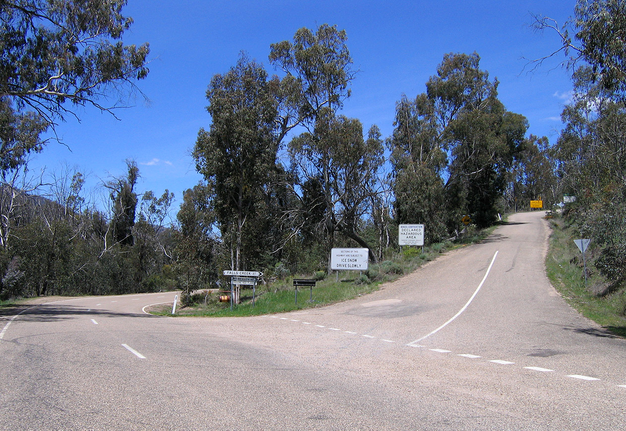
There are no substantial settlements between Mitta Mitta and Omeo, and therefore fuel is unavailable. Conditions in the mountains can change quickly and be harsh, particularly during winter. Snow is not uncommon in the winter season and may cause the road to be closed.
There are excellent scenic views along most of the road, making it popular with tourists.
Major Intersections and Towns
 Bogong High Plains Rd turnoff on the Omeo Hwy at Shannonvale
Omeo Highway 
Northbound Distance to
Tallangatta
(km)Distance to
Bairnsdale
(km)Southbound  T-Intersection (clockwise from highway)
Murray Valley Highway to Tallangatta and Wodonga
Murray Valley Highway to Corryong and JindabyneEnd Omeo Highway 
5 278 Start Omeo Highway Wodonga
Lockharts Gap Road _
33 250 Wodonga
Lockharts Gap Road _ Eskdale 43 240 Eskdale Dartmouth
Dartmouth Road _
58 225 Dartmouth
Dartmouth Road _ Mitta Mitta 61 222 Mitta Mitta Falls Creek, Mount Beauty
Bogong High Plains Road123 160 Falls Creek, Mount Beauty
Bogong High Plains RoadBenambra, Corryong
Benambra-Corryong Road _
158 125 Benambra
Benambra-Corryong Road _ Omeo 161 122 Omeo Start Omeo Highway End Omeo Highway T-Intersection (clockwise from highway)
Great Alpine Road to Bruthen and Bairnsdale
Bilton Street
Great Alpine Road to Mount Hotham and WangarattaSee also
- Highways in Australia
- Highways in Victoria
References
- ^ "Map NE Victoria". vic roads. p. p16. http://www.vicroads.vic.gov.au/NR/rdonlyres/36A4D071-9C13-4F35-95B8-B9D68C5B4ABB/0/DriverGuideA4.pdf. Retrieved 09/02/2009. size 2.4MB
- ^ "Google Maps Australia". ©2009 Google - Map data ©2009 MapData Sciences Pty Ltd, PSMA. http://maps.google.com.au. Retrieved 08-02-2009.
- ^ "Call for Omeo Highway to be fully sealed". ABC News Online (Australian Broadcasting Commission). 2005-12-13. http://www.abc.net.au/news/australia/vic/goulburn/200512/s1529997.htm. Retrieved 2007-09-12.
- ^ 8423 Omeo, Victoria, Topographic Map. National Topographic Map Series (1 ed.). Commonwealth of Australia. 1982.
 Road infrastructure in Victoria
Freeways 
Highways Bass Highway • Bellarine Highway • Borung Highway • Calder Highway • Glenelg Highway • Goulburn Valley Highway • Hamilton Highway • Henty Highway • Hopkins Highway • Kiewa Valley Highway • Loddon Valley Highway • Mallee Highway • Maroondah Highway • Melba Highway • Midland Highway • Monaro Highway • Murray Valley Highway • Nepean Highway • Northern Highway • Omeo Highway • Princes Highway • Pyrenees Highway • South Gippsland Highway • Strzelecki Highway • Sturt Highway • Sunraysia Highway • Surf Coast Highway • Warburton Highway • Western Highway • Western Port Highway • Wimmera HighwayBypass routes Tourist routes Categories:- Highways in Victoria (Australia)
- Australia road stubs


Wikimedia Foundation. 2010.