- Bruthen, Victoria
Infobox Australian Place | type = town
name = Bruthen
state = vic

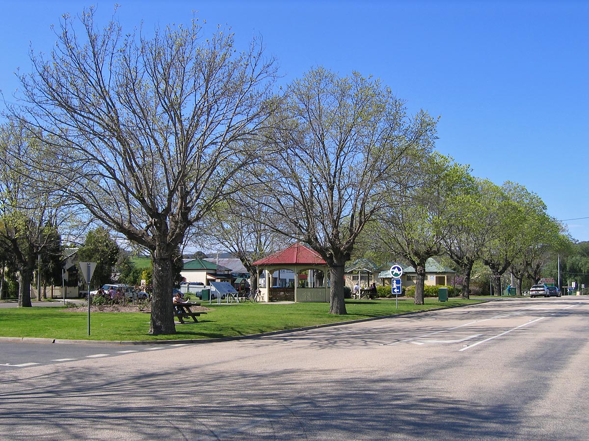
caption = Looking east along theGreat Alpine Road in Bruthen from the western side of town
lga =Shire of East Gippsland
postcode = 3885
est =
pop = 624 (2006)Census 2006 AUS | id = SSC25229 | name = Bruthen (State Suburb) | accessdate = 2007-10-01 | quick = on]
elevation=
maxtemp =
mintemp =
rainfall =
stategov = Gippsland East
fedgov = Gippsland
dist1 = 304
location1=Melbourne
dist2 = 25
location2= BairnsdaleBruthen is a small town located alongside the Tambo River between Bairnsdale and Ensay on the
Great Alpine Road in East Gippsland, Victoria,Australia . At the 2006 census, Bruthen had a population of 624. Bruthen is 26km east of Bairnsdale and 311km east of the state capitalMelbourne . TheEast Gippsland rail trail , which runs from Bairnsdale to Orbost, also passes through it.History
Bruthen is an Aboriginal word from the Brabiralong people of the Gunai/Kurnai tribe meaning ‘long wooden point’. Alfred Howitt claimed the proper name for the area around Bruthen was "Murloo", meaning ‘pipeclay’.
Noted explorer of Gippsland,
Angus McMillan , first passed through the area of what is now Bruthen on 14th April, 1840 on his early explorations from the Omeo region. The Post Office opened on 15 January 1862Citation
last = Premier Postal History | title = Post Office List | url = https://www.premierpostal.com/cgi-bin/wsProd.sh/Viewpocdwrapper.p?SortBy=VIC&country= | accessdate = 2008-04-11 ] and the first school opened in 1872.On 27 November, 1958 an RAAF Avon-Sabre Fighter Jet crashed on the outskirts of Bruthen, narrowly missing the populated area of town. Flight Lieutenant Ralph Oborn was flying from
New South Wales to the RAAF base in Sale when his engine ‘flamed out’. Oborn ejected at 500ft, suffering only minor injuries, and became the first person to safely eject from an aeroplane in Australia.Facilities
Bruthen has a small shopping centre, including a general store, bakery, Post Office, hotel, service stations, as well as speciality stores and cafes. It also has a
Police station,State Emergency Service and Country Fire Authority (CFA) branches, churches, acemetery and a primary school.Activities
The Bruthen community holds a number of activities throughout the year. These include the "Mixed Bag" art exhibition, the Bruthen Village Markets (every 4th Saturday of the month), annual Parish dance, and the
Bruthen Blues & Arts Festival on the 3rd weekend of February each year.ports
In
Australian rules football the Bruthen Football Club competes in theOmeo & District Football League (ODFL), and has the nickname ‘The Bulldogs’. The affiliated Bruthen Netball Club competes in the associated netball competition.The Bruthen colours are red, white and blue. Bruthen football jumpers consist of red and white hoops on a blue background, essentially the design of what was formerly Footscray, and now the
Western Bulldogs AFL club. The netball club wears a blue top with red skirt.Other sports in the town include
tennis ,cricket and lawn bowls and shooting clubs.References
*Gardner, P.D. (1997) "Names of the Great Alpine Road Between Bairnsdale and Omeo." Ensay: Ngarak Press.
External links
* [http://web.archive.org/web/20040511081236/www.arts.monash.edu.au/ncas/multimedia/gazetteer/list/bruthen.html Australian Places - Bruthen]
* [http://www.bruthenblues.org Bruthen Blues & Arts Festival]
Wikimedia Foundation. 2010.
