- Omeo, Victoria
Infobox Australian Place | type = town
name = Omeo
state = vic

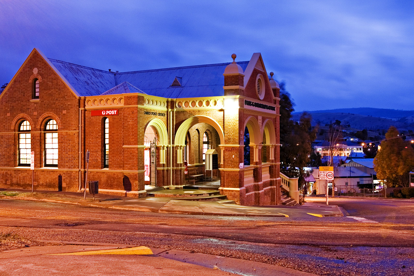
caption = The historic Omeo Post office by night
lga =Shire of East Gippsland
postcode = 3898
est =
pop = 452 (2006)Census 2006 AUS | id = SSC26397 | name = Omeo (State Suburb) | accessdate = 2007-10-01 | quick = on]
elevation= 685.0
maxtemp = 18.3
mintemp = 4.8
rainfall = 678.8
stategov = Gippsland East
fedgov = Gippsland
dist1 = 400
location1=Melbourne
dist2 = 121
location2= Orbost
dist3 = 108
location3= BrightOmeo is a town in Victoria,
Australia , located on theGreat Alpine Road , east ofMount Hotham , in theShire of East Gippsland . At the 2006 census, Omeo had a population of 452. The name is derived from the Aboriginal word for 'mountains'. It serves as the commercial hub for the Tambo and Omeo Valleys.History
The area was first visited by stockmen who drove stock through the region as early as 1835. In 1845 gold was found around Omeo.
The Post Office near its present location opened on 1 January 1858. However, two earlier offices in different locations named Omeo were open in 1851 and 1856 to 1857.Citation
last = Premier Postal History | title = Post Office List | url = https://www.premierpostal.com/cgi-bin/wsProd.sh/Viewpocdwrapper.p?SortBy=VIC&country= | accessdate = 2008-04-11 ]Earthquakes in 1885 and 1892, and the Black Friday bushfires of 1939, caused damage to Omeo, yet several old buildings remain.
The Town today
The town hosts the Omeo Plains Mountain Festival in December and January each year, a market and rodeo and polo match at Cobungra around
Easter , and an agricultural show in November.The town in conjunction with neighbouring township Benambra has an
Australian Rules football team competing in theOmeo & District Football League .Attractions include the Oriental Claims, the Cuckoo Clock shop, White Water rafting on the Mitta Mitta. The
Cobungra River ,Tambo River andMitta Mitta River all provide goodtrout fishing.References
External links
* [http://www.omeoregion.com.au/ Official Omeo Region Homepage]
* [http://www.omeoregion.com.au/towns/omeo.htm Omeo - omeoregion.com.au]
Wikimedia Foundation. 2010.
