- Western Highway, Victoria
Infobox Australian Road
road_name = Western Highway
route_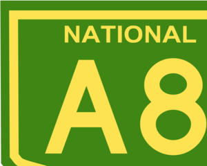
route_
route_
photo =
caption = Formerly
length = 314
direction = West-East
start =
finish = "',
Burrumbeet, Victoria
est =
through = Nhill, Dimboola, Horsham, Stawell, Ararat, Beaufort
route =
exits =The Western Highway is part of the principal route linking the
Australia n cities ofMelbourne andAdelaide with a length of approximately 314kilometre s. It is a part of the National Highway network and designated as National Highway A8. The eastern end continues on as the Western Freeway at Burrumbeet, and the western end continues beyond the Victorian border asDukes Highway , the other sections of the Melbourne-Adelaide National Highway.The Western Highway is the second busiest national highway in Australia, in terms of freight movements, with over five million tonnes annually. It provides the critical link between the eastern seaboard and
South Australia andWestern Australia . The towns along the way, includingBallarat , Ararat, Stawell and Horsham, are major agricultural and manufacturing centres.Route
The Western Highway begins at the Victorian-South Australian border, east of Bordertown. It is mainly a high quality single carriageway from there to Ballarat, with adequate numbers of overtaking lanes. However, the highway does pass through several agricultural centres, for example
Horsham , slowing down traffic significantly.Just north-west of Ballarat, the Western Highway .
Future Upgrade
Proposed duplication of The Western Highway between Ballarat and Stawell between 2009 and 2014, to be funded by Auslink 2. [http://www.doi.vic.gov.au/DOI/DOIElect.nsf/$UNIDS+for+Web+Display/8185202EE11606F8CA2573A80015B616/$FILE/AusLink2_WesternHighwayBallarat.pdf]
ee also
*
Highways in Australia
*Highways in Victoria
*Western Highway , for other uses of the name
*Western Freeway
*Ballarat Road

Wikimedia Foundation. 2010.