- Crossens
-
Coordinates: 53°40′11″N 2°56′55″W / 53.6697°N 2.9487°W
Crossens 
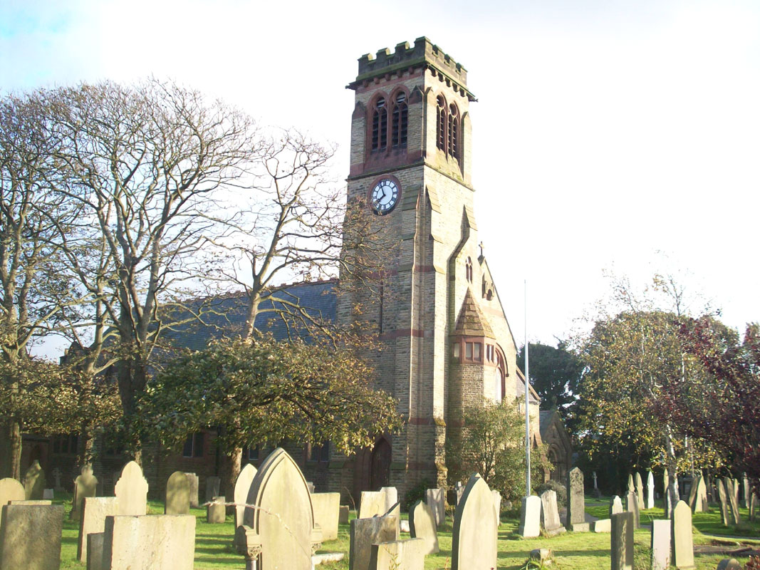
St John's Chutch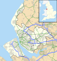
 Crossens
Crossens shown within MerseysideOS grid reference SD369198 Metropolitan borough Sefton Metropolitan county Merseyside Region North West Country England Sovereign state United Kingdom Post town SOUTHPORT Postcode district PR9 Dialling code 01704 Police Merseyside Fire Merseyside Ambulance North West EU Parliament North West England UK Parliament Southport List of places: UK • England • Merseyside Crossens is the northernmost district of the town of Southport, Merseyside, England and part of the ancient parish of North Meols. Whilst most of the village is now within Merseyside, part of northern Crossens known as Fiddlers Ferry, is in West Lancashire. Formerly, Crossens was a detached settlement lying on the western edge of Martin Mere, but after the drainage of the Mere and the expansion of Southport, it had become absorbed into the town's conurbation.
Formerly Crossenes or Crosnes meaning a “ness” or headland with a cross. The cross was possibly a guide for shipping or people crossing the Ribble Estuary from Freckleton (near Lytham). A hospice or lodging house was sited in Crossens where travellers could rest after making the crossing. It is also believed to be the point at which 2,000 horsemen from a retreating Royalist force crossed the Ribble estuary following the battle of Marston Moor. They later joined the battle at Lathom Hall.
Contents
History
Sited as it was on the shore of Martin Mere and at the seaward end of Crossens Sluice, Crossens formed the basis of a substantial fishing industry supporting the surrounding area and the nearby village of Banks. After Martin Mere was largely reclaimed for farmland, the focus of the town increasingly turned to agriculture, and to this day the high-quality soil supports several flower and vegetable farms in the east of the district. Farming of some scale or other has been a feature of this area since medieval times. However the Industrial Revolution led to Crossens incorporation into Southport as a site for housing for the larger town's burgeoning worker population. The second-half of the 20th century saw the area becoming home to some light industry (including the Vulcan motor works), but apart from some small industrial units the area is now primarily a commuter suburb for Southport, Preston and Ormskirk.
Criffel granite boulder
Criffel granite boulder is a large boulder that lies at the side of Banks Road, Crossens. It is made of Criffel granite; a type of rock that is only normally found in Dumfries, Scotland. It was found in the ground when the pumping station on Banks Road was being built in 1959.
Geologists found that the rock was deposited in the area during the last ice age (18,000 years ago) by ice. Rocks like this that have been transported in this way are called erratics.
Transport
Crossens lay on the route of the West Lancashire Railway; Crossens railway station was the last electrified on the branch in 1906. The line closed in the 1960s.
Being the northernmost district of Southport, Crossens is the terminus of several bus routes - Arriva North West services 42, 44, and 49/49A terminate at The Plough Hotel roundabout. Other bus services passing through Crossens include Stagecoach North West services 2 and X2, Arriva service 47 and Cumfybus service 40, which terminates on Harrogate Way.
Gallery
External links
Districts and wards of the Metropolitan Borough of Sefton Districts Ainsdale · Aintree · Birkdale · Blowick · Blundellsands · Bootle · Brighton-le-Sands · Carr Houses · Churchtown · Crosby · Crossens · Ford · Formby · Freshfield · Great Crosby · Hightown · Highpark · Hillside · Ince Blundell · Kennessee Green · Kew · Lady Green · Litherland · Little Altcar · Little Crosby · Lunt · Lydiate · Maghull · Marshside · Melling · Meols Cop · Netherton · Orrell · Seaforth · Sefton · Southport · Thornton · Waddicar · Waterloo · WoodvaleCouncil Wards Categories:- Towns and villages in Sefton
- Southport
-

Wikimedia Foundation. 2010.