- Marshside, Merseyside
-
Coordinates: 53°40′08″N 2°58′23″W / 53.66892°N 2.97318°W
Marshside 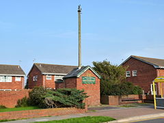
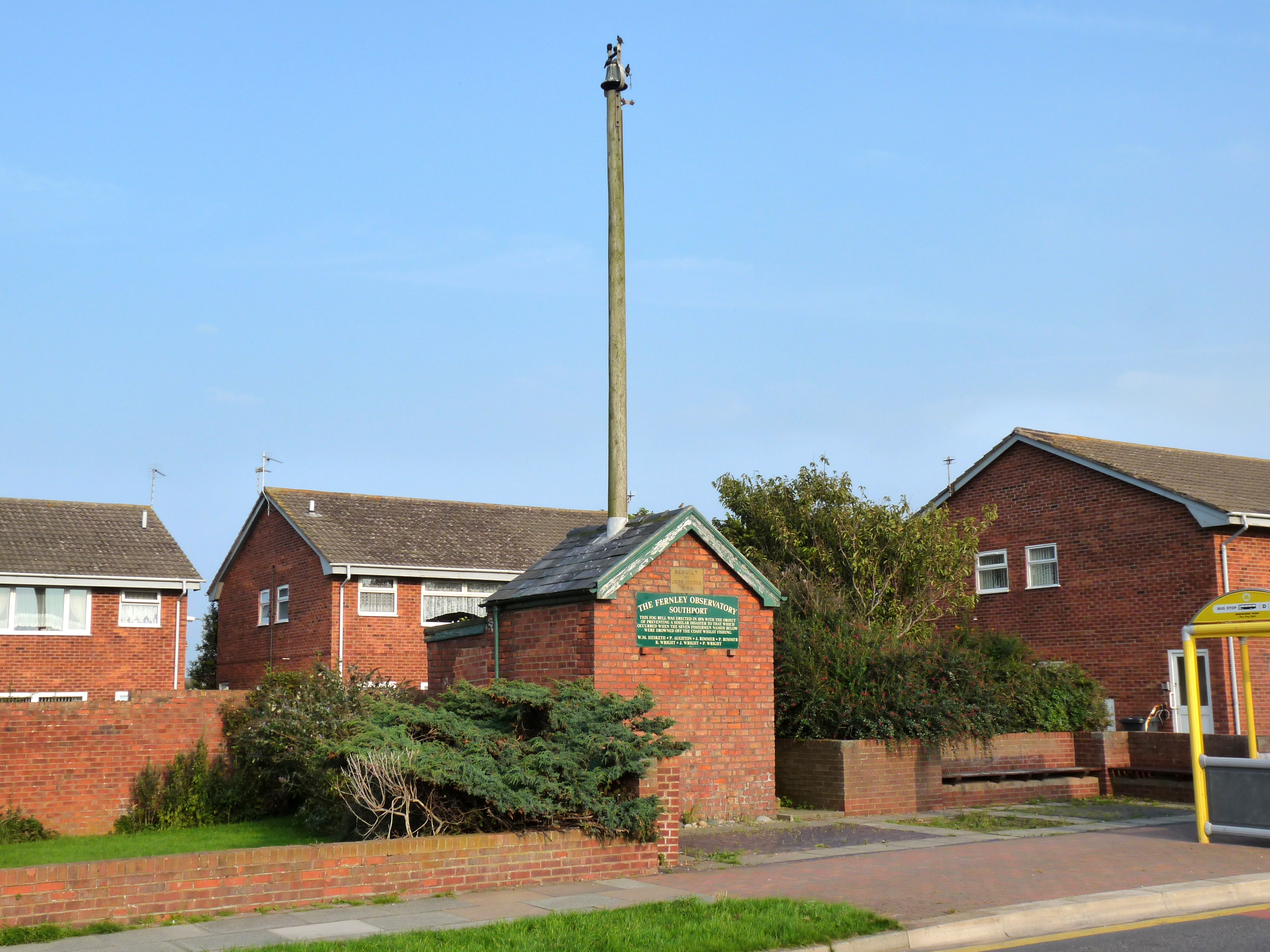
The Fog Bell on Marshside Road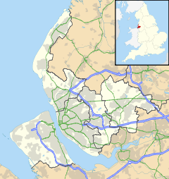
 Marshside
Marshside shown within MerseysideOS grid reference SD358193 Metropolitan borough Sefton Metropolitan county Merseyside Region North West Country England Sovereign state United Kingdom Post town SOUTHPORT Postcode district PR9 Dialling code 01704 Police Merseyside Fire Merseyside Ambulance North West EU Parliament North West England UK Parliament Southport List of places: UK • England • Merseyside Marshside is a suburb of the town of Southport, Merseyside, England, ranked by the UN as the 4th most desirable area of the European Union in which to live. It is part of the ancient parish of North Meols and was formerly a detached settlement, on the northern fringe of what is now Southport.
Marshside's most notable features are neighbours: the SSSI and nature reserve on the opposite side of Marine Drive. The sandwinning plant closed in early 2007. Whilst operational, it extracted thousands of tonnes of Southport sand per year for use in industry. The nature reserve is managed by the RSPB and provides food and accommodation to many native and migratory birds.
Marshside's traditional industry was shrimping, and the practice still continues to a diminished degree today.
Marshside has four schools: Marshside Primary School, St Patrick's Primary School, Larkfield Primary School (between Larkfield Lane and Preston New Road) and Stanley High School (on Fleetwood Road). The last of these is the largest, with around 800 pupils between the ages of 11 and 16.
Marshside has surprisingly few pubs (compared with neighbouring Churchtown), possibly in part due to the strong tradition of Methodism in the former village. However, there is the Shrimper on Fylde Road (next to the Somerfield supermarket). The Shrimper is a food-serving pub and part of a large chain. A notable feature is a fish & chip shop built on to the back of the building in the car park, although this is no longer operational, but that has been replaced with a new fish and chip shop, otherwise known as Fylde Fish Bar next to Somerfield and Fylde Road Pharmacy.
St Patrick's Parish Club on Marshside Road is another establishment licensed to serve alcohol. Situated at the back of the old church, the members club is open throughout the week. The only other place to serve alcohol in Marshside is the Fleetwood Hesketh Sports & Social Club, on Fylde Road. Built on land acquired from the Meols Hall estate in Churchtown, this private members club has various sports teams including football, cricket, crown green and indoor bowls, darts, and snooker.
Marshside is also home to the only brass band in Southport.
The main modern industry in Marshside is situated on the estate behind the Shrimper pub, housed in a number of metal-clad buildings. There is a bakery and a publisher's warehouse amongst others.
External links
- North Meols Civic Society: Marshside Fog Bell
- RSPB Marshside - Jewel of the Ribble
- A visit to the RSPB Marshside reserve in a personal 'blog' (November 2006)
- Marshside Brass Band
Districts and wards of the Metropolitan Borough of Sefton Districts Ainsdale · Aintree · Birkdale · Blowick · Blundellsands · Bootle · Brighton-le-Sands · Carr Houses · Churchtown · Crosby · Crossens · Ford · Formby · Freshfield · Great Crosby · Hightown · Highpark · Hillside · Ince Blundell · Kennessee Green · Kew · Lady Green · Litherland · Little Altcar · Little Crosby · Lunt · Lydiate · Maghull · Marshside · Melling · Meols Cop · Netherton · Orrell · Seaforth · Sefton · Southport · Thornton · Waddicar · Waterloo · WoodvaleCouncil Wards 
This article about a Site of Special Scientific Interest in England is a stub. You can help Wikipedia by expanding it.