- Churchtown, Merseyside
-
Coordinates: 53°39′35″N 2°58′43″W / 53.6596°N 2.9787°W
Churchtown 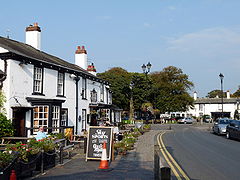
The Bold Arms pub on Botanic Road, looking towards the Hesketh Arms pub and village green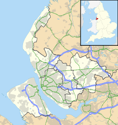
 Churchtown
Churchtown shown within MerseysideOS grid reference SD365186 Metropolitan borough Sefton Metropolitan county Merseyside Region North West Country England Sovereign state United Kingdom Post town SOUTHPORT Postcode district PR9 Dialling code 01704 Police Merseyside Fire Merseyside Ambulance North West EU Parliament North West England UK Parliament Southport List of places: UK • England • Merseyside Churchtown is a suburb of the town of Southport, Merseyside, England though historically within Lancashire. It is surrounded by Crossens, High Park and Marshside. It is the centre of the ancient parish of North Meols and was formerly a detached settlement, on the northern fringe of what is now Southport.
Contents
History
In 1575 a shipwreck occurred off the Churchtown coast, the cargo of which contained potatoes, was washed ashore. Subsequently, the village became the first place in England where they were grown.[1]
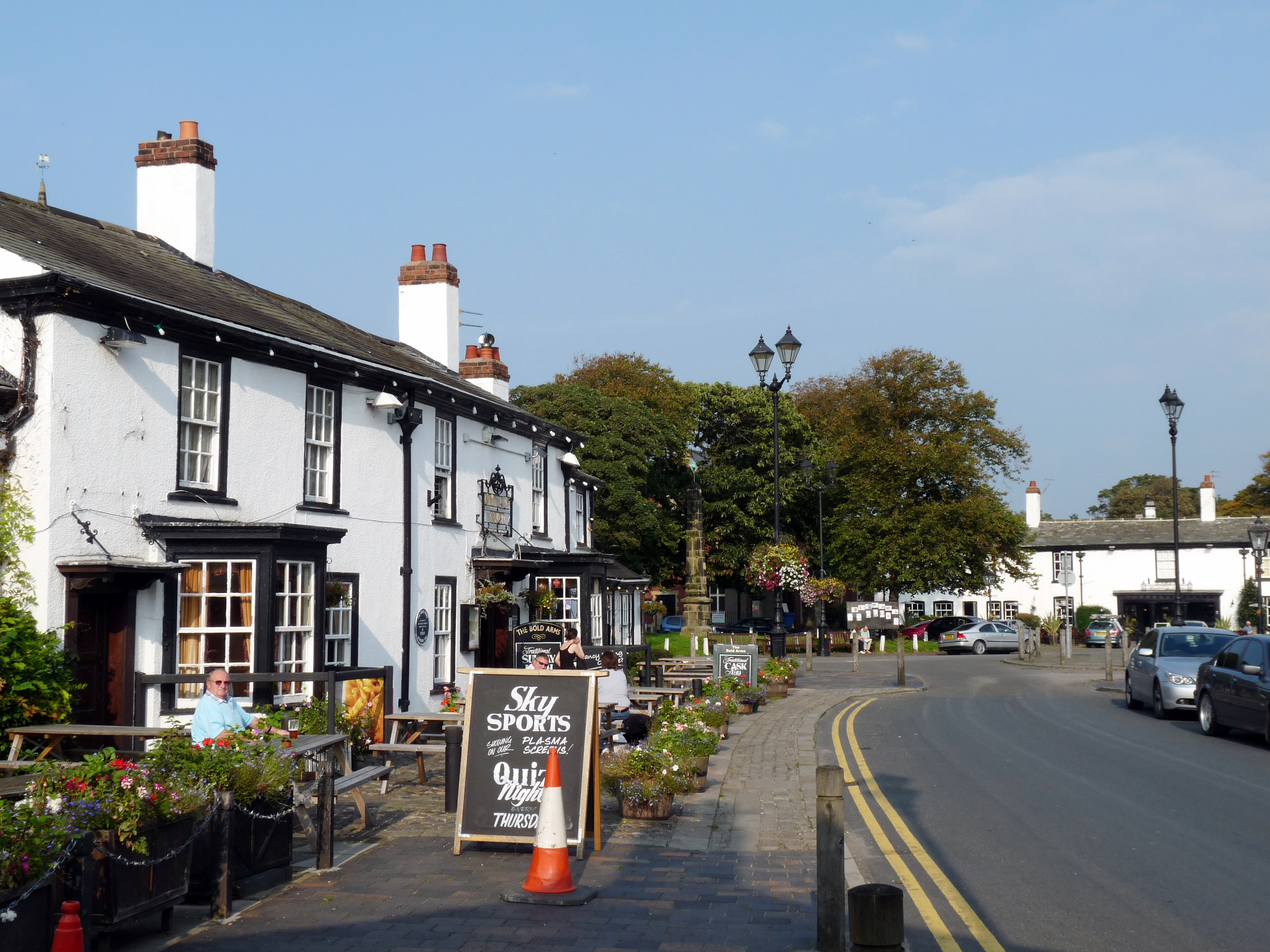
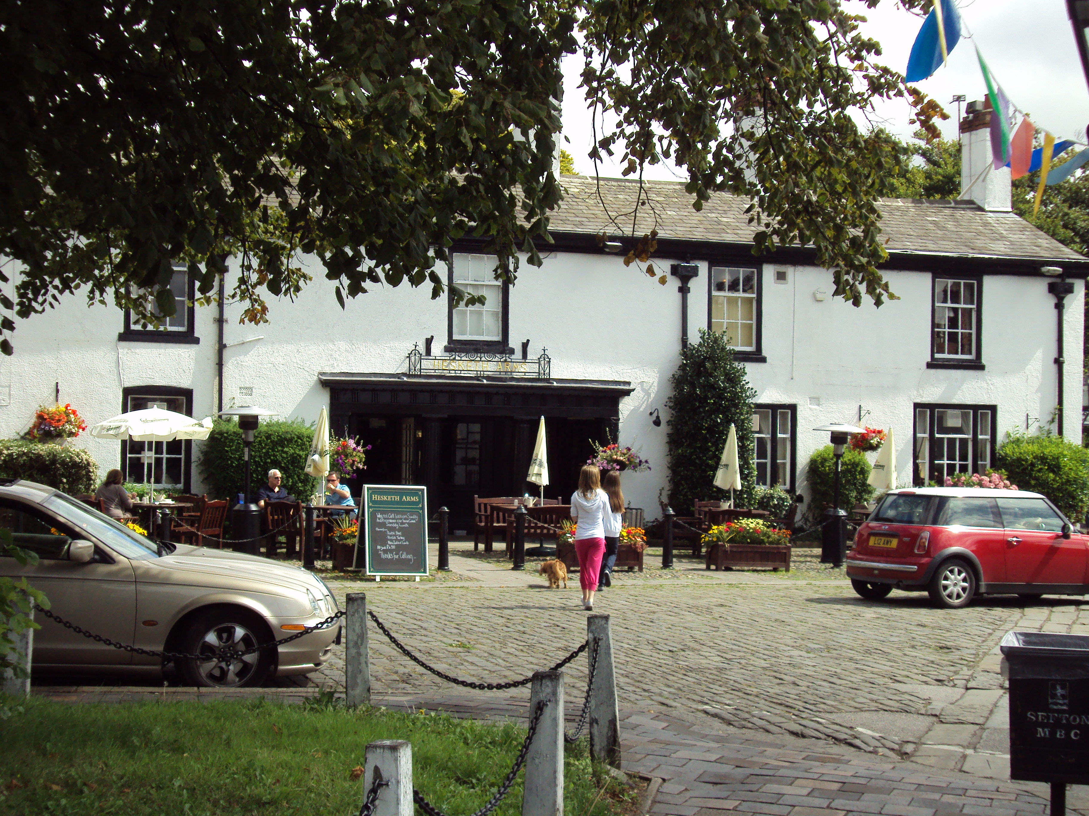
The Botanic Gardens was at one time the terminus for the Southport tram system, and evidence can be seen in the large turning circle at the front of the gardens. Stocks dating from 1741 can be found adjacent to the church wall on St. Cuthbert's Road close to Botanic Gardens. The centre of the old village retains much of its character from bygone ages - with the green in front of St Cuthbert's Church flanked by the two local pubs - the Bold Arms and the Hesketh Arms. This is covered by a preservation order which covers much of Botanic Road, where some thatched cottages still exist. On one side of the Hesketh Arms is the entrance to Meols Hall, home of the Hesketh family.
Geography
Churchtown is situated in North West England. The closest cities are Preston to the north east and Liverpool to the south. Churchtown is a suburb of Southport which has the nearest town centre.
The village is one of many villages on the West Lancashire Coastal Plain, most of the village is only slightly above sea-level just like the nearby village of Banks which means the village can be susceptible to flooding during heavy rainfall. There are embankments to the north of nearby Marshside and there are drainage systems across the area, the closest being the Three Pools Waterway to the East of the village which is controlled by the pumping station at the Banks/ Crossens border.

Irish Sea Marshside, Crossens Crossens, Banks Southport 
Mere Brow  Churchtown

Southport Blowick Scarisbrick Education
Churchtown has one primary school (Churchtown Primary School) which is situated on St Cuthbert's Road and access is also available via Botanic Gardens The school is a "community school" (i.e. not a church school) but is closely associated with St Cuthbert's Church. It is among the ten biggest primary schools in the country, with nearly 900 pupils, and was described by OFSTED in February 2010 as "outstanding" (grade 1).
Religious Sites
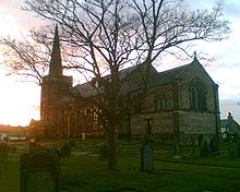 St Cuthberts Church from the Grave Yard 2008
The Village has three Churches
- St Cuthbert's Church - Church of England - St Cuthberts Road
- Churchtown United Reformed Church - Non-Conformist - Botanic Road
- Marshside Road Methodist Church - borders the fine line between Churchtown and Marshside.
Public Services
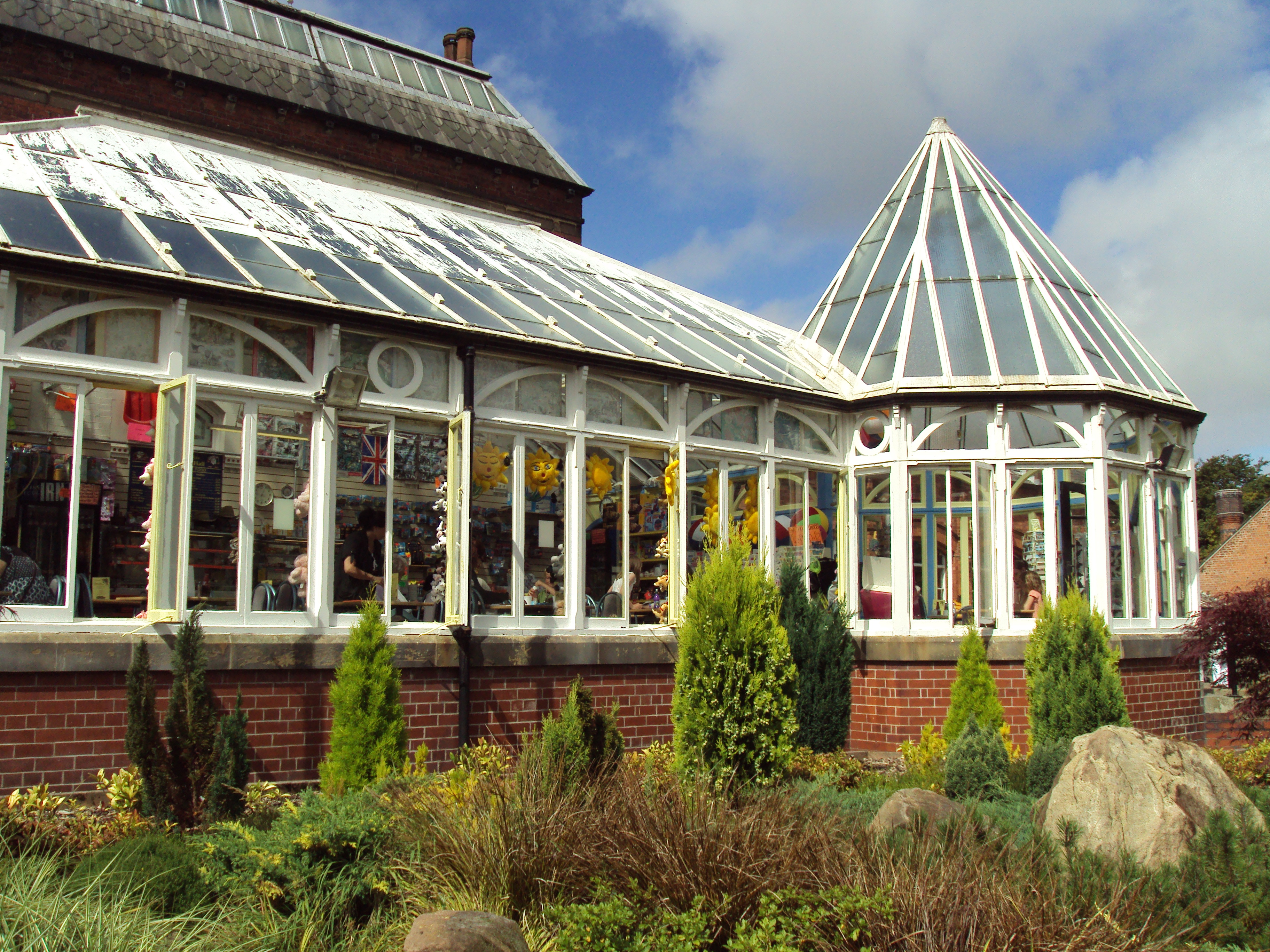
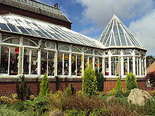 Botanic Gardens Cafe
- Churchtown Medical Centre
- Corner Surgery - closed in 2006 and moved to a new surgery situated on the Co-op Complex in Marshside.
- Two Pharmacies
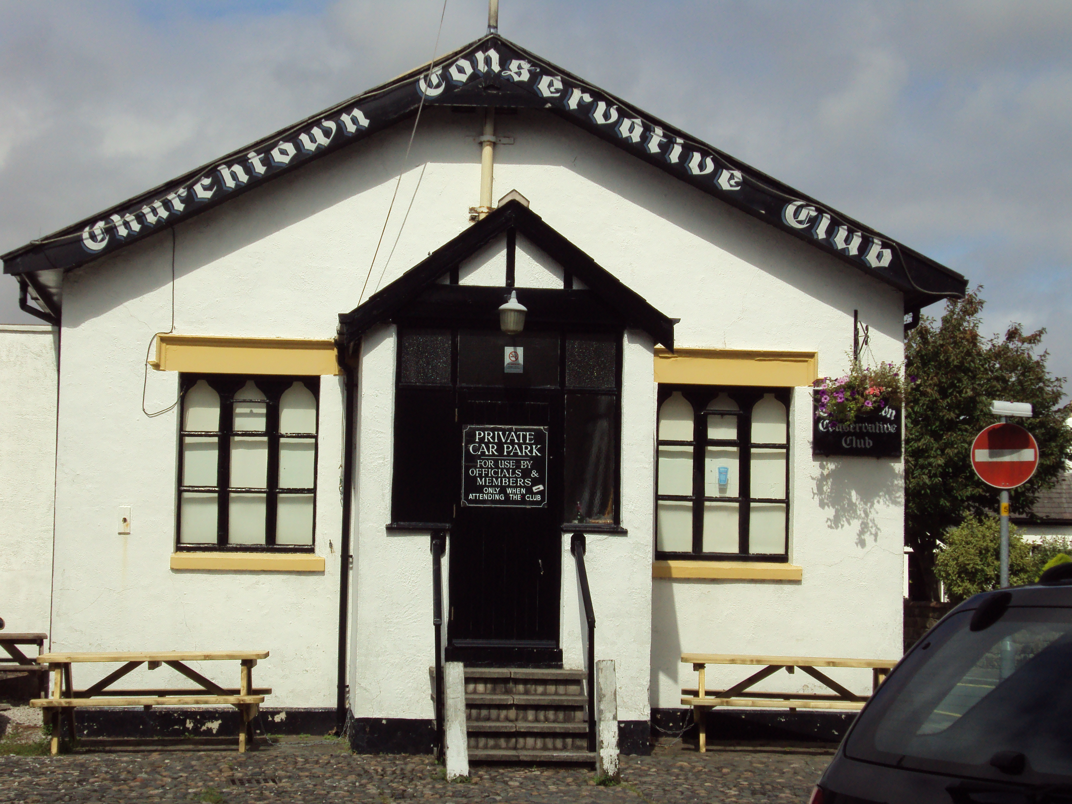
- A Conservative Club
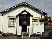 Churchtown Conservative Club
 - Churchtown Dental Practice
- Three Banks - Loyds TSB, Abbey, Natwest
- Tesco Express
- Two Spar
- Post Office - Closed in 2007 due to the National closure of Post Office Branches
- Six Hairdressers/ Barbers
- Museum - Situated in Botanic Gardens
- Library
- Churchtown Garage
- Hesketh Arms Public House
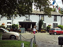 Hesketh Arms Pub
 - Bold Arms Public House
- A Funeral Director
- A Vetenary Practice
- An Optician
- Two Newsagents
- Three Solicitors
Other amenities in the Churchtown include: Two Bakeries, Subway (Sandwich shop), Garden Centre, Antiques Shops, Two DIY shops, Three Take Away Shops, Two Florist, Two Furniture Shops, Three Cafe's, Printer Shops, Blacksmith, Mobile Phone Shop, an Offlicence, Two Beauty Shops and many more smaller shops.
Leisure
Southport Old Links is a golf Course situated to the south of the village.
Transport
Churchtown railway station was a stop on the West Lancashire Railway to Crossens and Preston. The line closed in 1964. The A565 road runs through the north of the village and is considered by some local people to be the boundary of Churchtown and Marshside. There are many bus stops throughout the village and local area which link to all over the Southport area and suburbs, with services extending into Liverpool and West Lancashire.
References
- ^ Churchtown Village Trail, North Meols Civic Society, http://www.northmeols.merseyside.org/trail/trail.htm, retrieved 2 April 2008
External links
- North Meols Civic Society: Churchtown
- Lancashire Churches: Churchtown St. Cuthbert
- Sefton Council: Southport Botanic Gardens
- Churchtown Primary School
Districts and wards of the Metropolitan Borough of Sefton Districts Ainsdale · Aintree · Birkdale · Blowick · Blundellsands · Bootle · Brighton-le-Sands · Carr Houses · Churchtown · Crosby · Crossens · Ford · Formby · Freshfield · Great Crosby · Hightown · Highpark · Hillside · Ince Blundell · Kennessee Green · Kew · Lady Green · Litherland · Little Altcar · Little Crosby · Lunt · Lydiate · Maghull · Marshside · Melling · Meols Cop · Netherton · Orrell · Seaforth · Sefton · Southport · Thornton · Waddicar · Waterloo · WoodvaleCouncil Wards Categories:- Southport
- Towns and villages in Sefton


Wikimedia Foundation. 2010.