- Orrell, Merseyside
-
Coordinates: 53°28′06″N 2°59′21″W / 53.4683°N 2.9891°W
Orrell 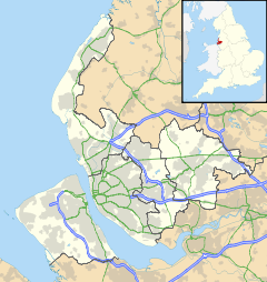
 Orrell
Orrell shown within MerseysideOS grid reference SJ345969 Metropolitan borough Sefton Metropolitan county Merseyside Region North West Country England Sovereign state United Kingdom Post town BOOTLE Postcode district L20 Dialling code 0151 Police Merseyside Fire Merseyside Ambulance North West EU Parliament North West England UK Parliament Bootle List of places: UK • England • Merseyside Orrell is the name given to an area in the Metropolitan Borough of Sefton, Merseyside, England.
Orrell is a residential area in the Liverpool postal code L20. It is not to be confused with Orrell Park which is a separate neighbouring area.
Governance
For parliamentary elections Orrell is within the Bootle constituency represented by the Labour Party MP Joe Benton.
The area itself is part of the electoral ward of Netherton and Orrell for elections to Sefton Council, the ward itself is politically impregnable with all three representatives continuously coming from the Labour Party, the three current representatives on the council are Susan Ellen Bradshaw,[1] Robert John Brennan,[2] and Ian Ralph Maher.[3]
References
External links
Districts and wards of the Metropolitan Borough of Sefton Districts Ainsdale · Aintree · Birkdale · Blowick · Blundellsands · Bootle · Brighton-le-Sands · Carr Houses · Churchtown · Crosby · Crossens · Ford · Formby · Freshfield · Great Crosby · Hightown · Highpark · Hillside · Ince Blundell · Kennessee Green · Kew · Lady Green · Litherland · Little Altcar · Little Crosby · Lunt · Lydiate · Maghull · Marshside · Melling · Meols Cop · Netherton · Orrell · Seaforth · Sefton · Southport · Thornton · Waddicar · Waterloo · WoodvaleCouncil Wards Categories:- Towns and villages in Sefton
- Merseyside geography stubs

Wikimedia Foundation. 2010.