- Nant-y-Ffrith
-
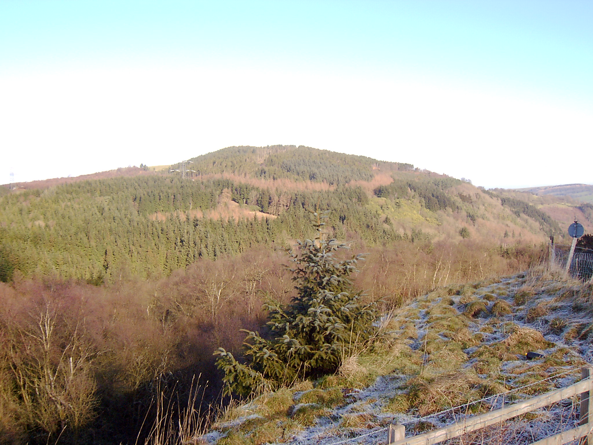
 View over Nant-y-Ffrith woods from Bwlchgwyn.
Nant-y-Ffrith refers to a stream and the wooded valley through which it flows on the border between Flintshire and Wrexham County Borough in Wales. The stream begins in moorland to the east of Llandegla. It passes Bwlchgwyn village before entering a rather steep-sided, rocky valley. It passes under the viaduct of a disused railway line before joinng the River Cegidog at Ffrith.
The woodlands contain some deciduous trees but are dominated by recent conifer plantations. They contain a range of flora and fauna including various ferns and mosses and woodland birds such as Wood Warbler and Redstart.
There are several abandoned silica quarries and lead mines in the area. Lead mining may have begun as early as Roman times and has left a number of caves.
Contents
Nant-y-Ffrith Hall
Nant-y-Ffrith Hall was originally built as a hunting lodge in 1850. Successive owners enlarged the building and created landscaped gardens. An open day and garden party was held each year for local villagers. The hall gradually fell into disrepair; it was used for ammunition storage in the Second World War and finally demolished between 1947 and 1950. The only signs of it today are a clearing in the woods, scattered stones and some exotic vegetation such as rhododendrons.
Nant-y-Ffrith Reservoir
Nant-y-Ffrith Reservoir Location Wales Coordinates 53°4′11″N 3°7′52″W / 53.06972°N 3.13111°W Lake type reservoir Primary inflows Nant-y-Ffrith Primary outflows Nant-y-Ffrith Basin countries United Kingdom This is a small reservoir near the source of the stream. It provides water to the villages to the west of Wrexham. Work began on it in October 1868 and it was supplying water by February 1871. It was built by Brymbo Water Company and is now owned by Dee Valley Water.
Breeding birds on the reservoir include Great Crested Grebe and Coot with Sedge Warbler and Reed Bunting in the surrounding vegetation and Lapwing and Curlew in nearby fields.
References
- Clwyd Bird Recording Group (various years) Clwyd Bird Report.
- R. J. Jones (1957) Maes Maelor, Gwasg John Penry, Swansea.
- Raymond Lowe (2002) Lost Houses in and around Wrexham, Landmark Publishing, Ashbourne.
External links
Categories:- Flintshire
- Wrexham County Borough
- Rivers of Wales
- Forests and woodlands of Wales
- Valleys of Wales
- Reservoirs in Wales
- Houses in Wales

Wikimedia Foundation. 2010.