- Číčov
-
Číčov (Csicsó) Village 
 Coat of arms
Country Slovakia Region Nitra District Komárno Elevation 113 m (371 ft) Coordinates 47°46′N 17°46′E / 47.767°N 17.767°E Area 29.36 km2 (11.34 sq mi) Population 1,359 (2004-12-31) Density 46 / km2 (119 / sq mi) First mentioned 1172 Mayor Csaba Földes (Party of the Hungarian Coalition)[1] Postal code 946 19 Area code +421-35 Car plate KN 

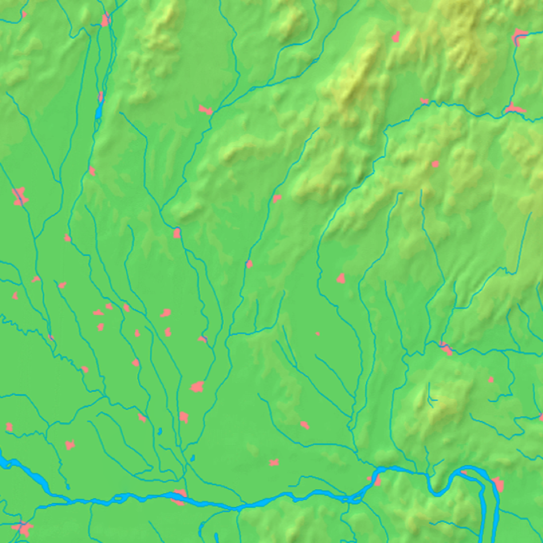
 Location of Číčov in Slovakia
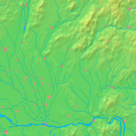
 Location of Číčov in the Nitra Region
Wikimedia Commons: Číčov Statistics: Statistical Office Číčov (Hungarian: Csicsó, Hungarian pronunciation:[’tʃitʃoː]) is a village and municipality in the Komárno District in the Nitra Region of south-west Slovakia.
Contents
History
The village was first mentioned in 1172 as Chichou. In 1268 belonged to Komárom fortress, later it was the property of the Counts Cseszneky, Pálffy, Zichy and Kálnoky. In 1682, as a result of the Counter-Reformation the local Calvinist church was banned. In the early 18th century the residents of the village supported the Francis II Rákóczi's uprising. The Treaty of Trianon assigned Číčov to Czechoslovakia, in spite of the village's Hungarian majority. In 1938 following the First Vienna Arbitration it was reannexed by Hungary, but lost again after the end of World War II.
Geography
The village lies at an altitude of 113 metres and covers an area of 29.503 km². It has a population of about 1,360 people.
Ethnicity
The village is about 91% Hungarian, 9% Slovak.
Facilities
The village has a public library a gym and a football pitch.
External links
- Official website
- Old pictures and descriptions of Csicsó and its inhabitants
- Jewish families in Csicsó - Cicov until Holocaust
References

Bajč · Bátorove Kosihy · Bodza · Bodzianske Lúky · Brestovec · Búč · Čalovec · Číčov · Dedina Mládeže · Dulovce · Holiare · Chotín · Imeľ · Iža · Kameničná · Klížska Nemá · Kravany nad Dunajom · Lipové · Marcelová · Martovce · Moča · Modrany · Mudroňovo · Nesvady · Okoličná na Ostrove · Patince · Pribeta · Radvaň nad Dunajom · Sokolce · Svätý Peter · Šrobárová · Tôň · Trávnik · Veľké Kosihy · Virt · Vrbová nad Váhom · Zemianska Olča · Zlatná na Ostrove
Categories:- Villages and municipalities in the Komárno District
- Hungarian communities in Slovakia
- Nitra Region geography stubs


Wikimedia Foundation. 2010.