- Mudroňovo
-
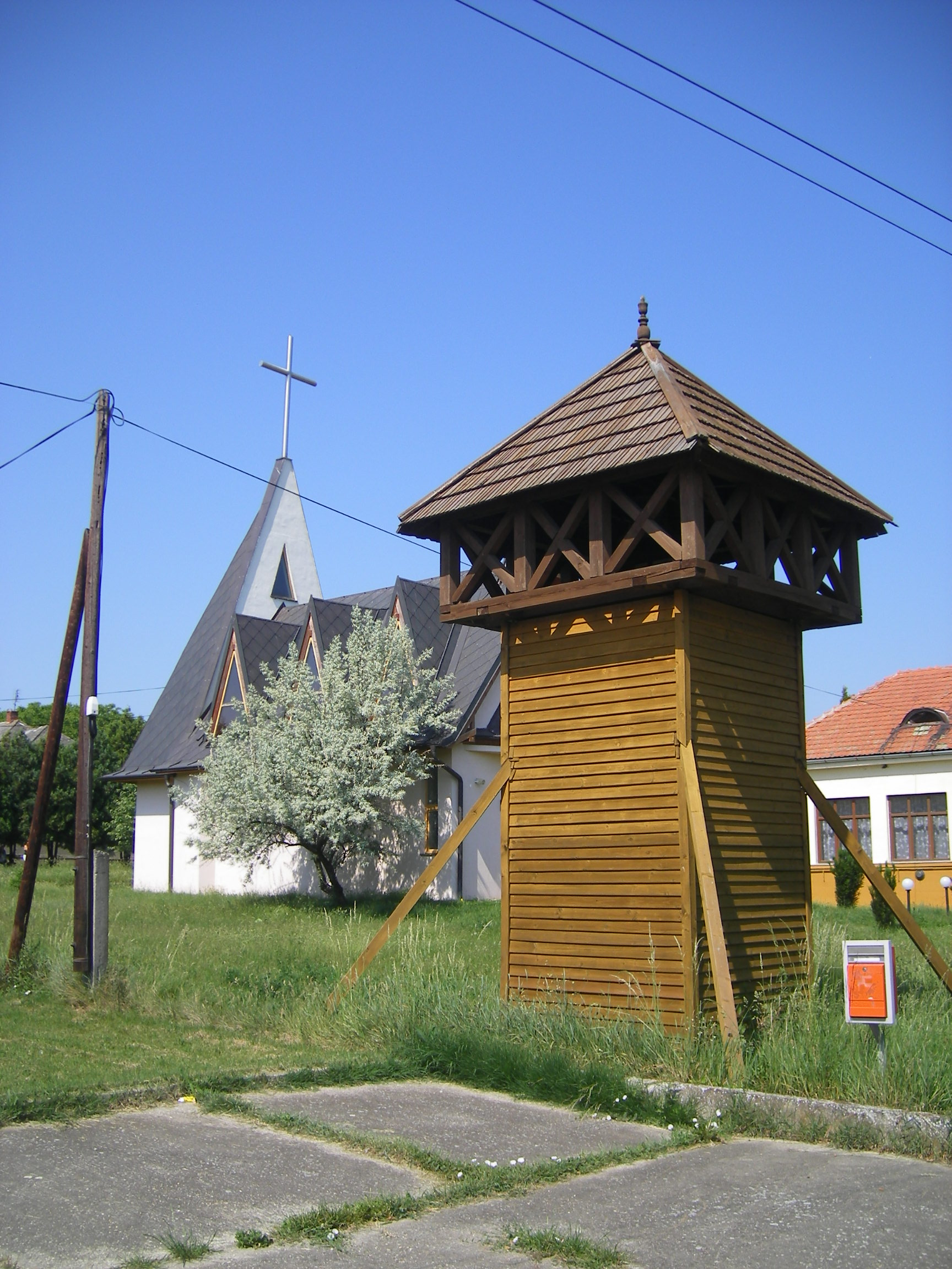
Mudroňovo Village 
Country Slovakia Region Nitra District Komárno Elevation 159 m (522 ft) Coordinates 47°50′N 18°19′E / 47.833°N 18.317°E Area 4.29 km2 (2 sq mi) Population 110 (2006-11-9) Density 26 / km2 (67 / sq mi) Founded 1921 Postal code 946 32 Car plate KN 

 Location of Mudroňovo in Slovakia
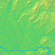
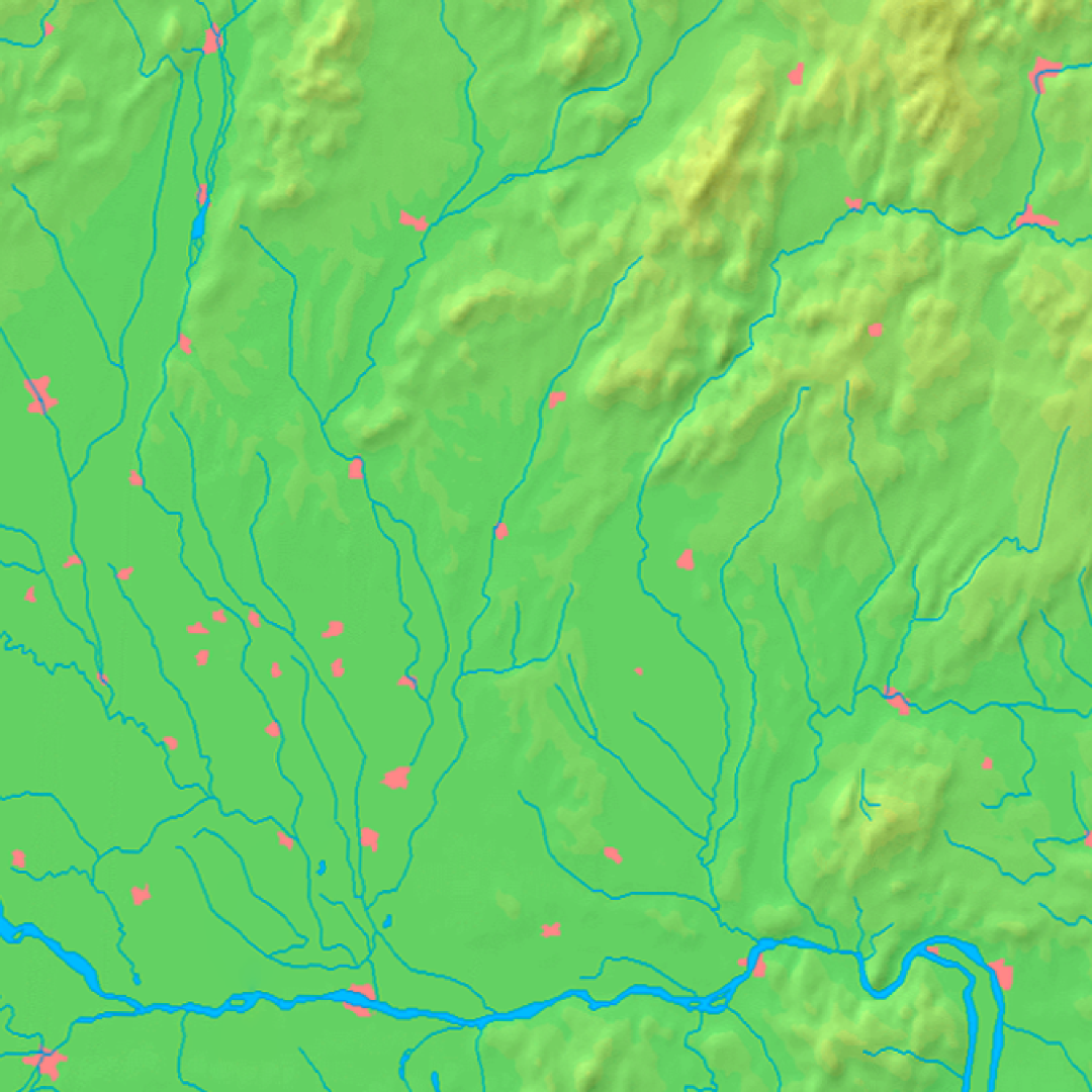
 Location of Mudroňovo in the Nitra Region
Statistics: MOŠ/MIS Mudroňovo (Hungarian: Újpuszta) is a small village and municipality in the Komárno District in the Nitra Region of south-west Slovakia.
Contents
History
In the village was built in 1921.
Geography
The village lies at an altitude of 150 metres and covers an area of 4.007 km². It has a population of about 108 people.
Ethnicity
The village is about 90% Slovak and 10% Hungarian.
Facilities
The village has a public library, and a football pitch.
External links

Bajč · Bátorove Kosihy · Bodza · Bodzianske Lúky · Brestovec · Búč · Čalovec · Číčov · Dedina Mládeže · Dulovce · Holiare · Chotín · Imeľ · Iža · Kameničná · Klížska Nemá · Kravany nad Dunajom · Lipové · Marcelová · Martovce · Moča · Modrany · Mudroňovo · Nesvady · Okoličná na Ostrove · Patince · Pribeta · Radvaň nad Dunajom · Sokolce · Svätý Peter · Šrobárová · Tôň · Trávnik · Veľké Kosihy · Virt · Vrbová nad Váhom · Zemianska Olča · Zlatná na Ostrove
Categories:- Villages and municipalities in the Komárno District
- Nitra Region geography stubs


Wikimedia Foundation. 2010.