- Modrany
-
Modrany Madar Village 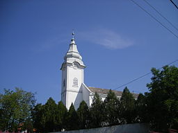
Country Slovakia Region Nitra District Komárno Elevation 274 m (899 ft) Coordinates 47°49′N 18°21′E / 47.817°N 18.35°E Area 27.066 km2 (10.45 sq mi) Population 1,461 (2004-12-31) Density 54 / km2 (140 / sq mi) First mentioned 1205 Postal code 946 33 Car plate KN 

 Location of Modrany in Slovakia
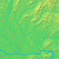
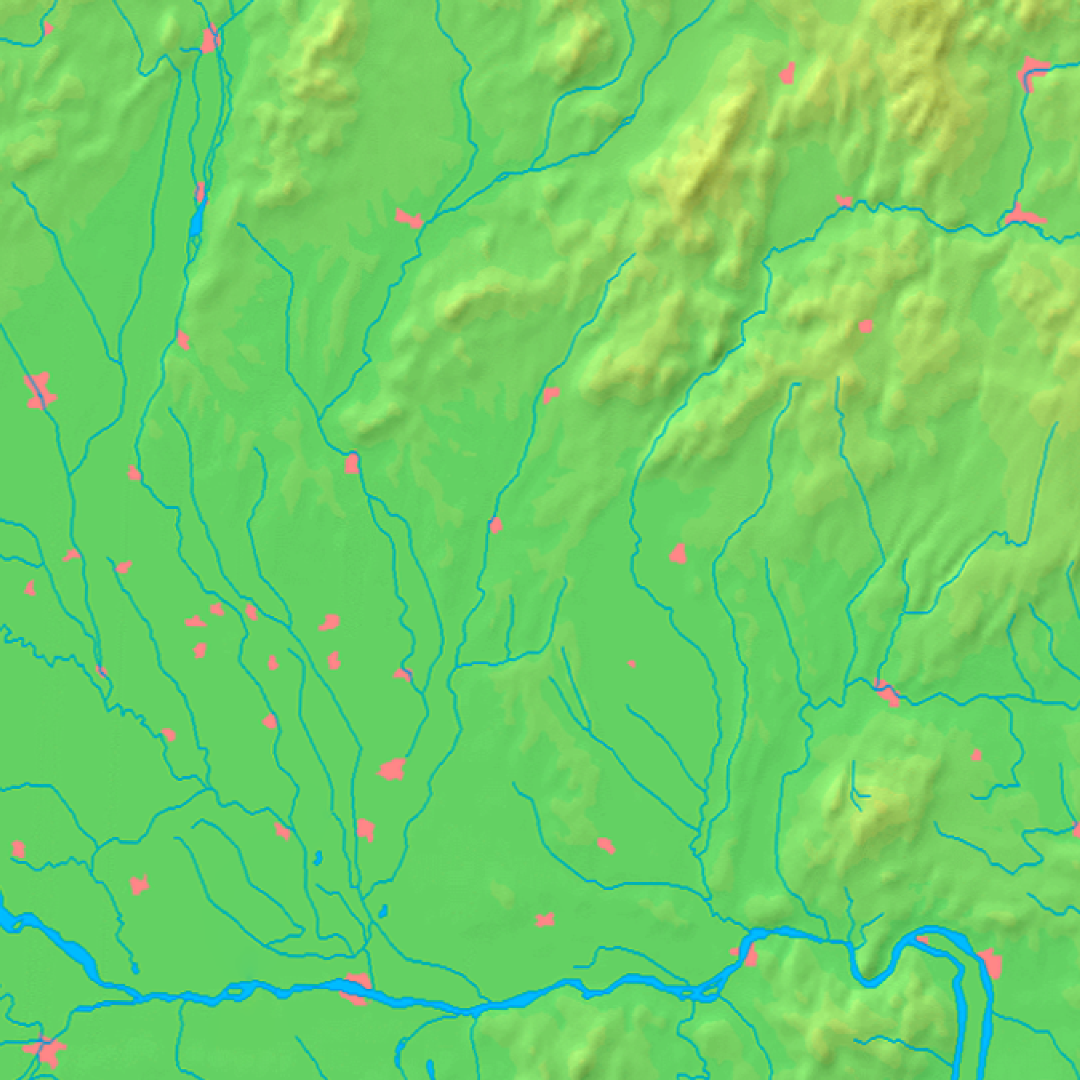
 Location of Modrany in the Nitra Region
Statistics: MOŠ/MIS This article is about the Slovak village. For the Prague suburb, see Modřany.Modrany (Hungarian: Madar, Hungarian pronunciation:[’mɒdɒr]) is a village and municipality in the Komárno District in the Nitra Region of south-west Slovakia.
Contents
History
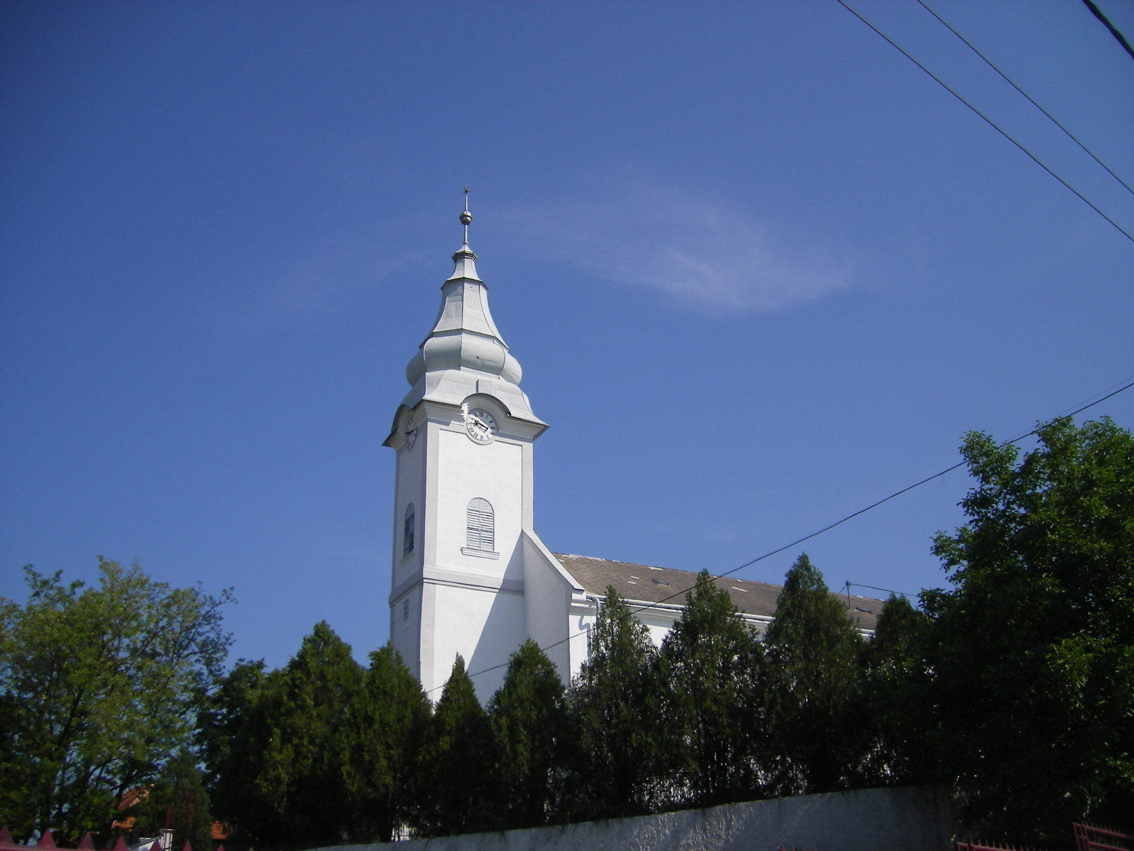
In historical records the village was first mentioned in 1205. The Calvinist church was, for centuries, the one church that most of the surrounding villages attended.
The Soviet Army had a base located on the outskirts of town, which they abandoned around 1989. A hill near the village was used for target practice for tanks. The base has since been broken apart and sold for scrap, though some ruins remain.
Geography
The village lies at an altitude of 131 meters and covers an area of 27.066 km². It has a population of about 1460 people. The village lies in the center of a small valley centered on a small brook that runs through the village. One hill of the valley is covered by a sunflower field. Over the other is the further section of the village, with the village vineyards.
Ethnicity
The village is about 86% Hungarian, 9% Slovak and 5 % Romany.
Facilities
The village has a public library, and a football pitch. There are also two churches, Catholic and Calvinist and a new town hall. There is a pre-school and primary school (K-9). High school students attend a split Hungarian/Slovakian school in Komárno. Buses run from the village to Komárno frequently.
External links

Bajč · Bátorove Kosihy · Bodza · Bodzianske Lúky · Brestovec · Búč · Čalovec · Číčov · Dedina Mládeže · Dulovce · Holiare · Chotín · Imeľ · Iža · Kameničná · Klížska Nemá · Kravany nad Dunajom · Lipové · Marcelová · Martovce · Moča · Modrany · Mudroňovo · Nesvady · Okoličná na Ostrove · Patince · Pribeta · Radvaň nad Dunajom · Sokolce · Svätý Peter · Šrobárová · Tôň · Trávnik · Veľké Kosihy · Virt · Vrbová nad Váhom · Zemianska Olča · Zlatná na Ostrove
Categories:- Villages and municipalities in the Komárno District
- Nitra Region geography stubs


Wikimedia Foundation. 2010.