- Okoličná na Ostrove
-
Okoličná na Ostrove Ekel Village 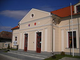 Town hall
Country Slovakia Region Nitra District Komárno Elevation 113 m (371 ft) Coordinates 47°48′N 17°56′E / 47.8°N 17.933°E Area 29.89 km2 (11.54 sq mi) Population 1,427 (2004-12-31) Density 48 / km2 (124 / sq mi) First mentioned 1229 Postal code 946 13 Area code +421-35 Car plate KN 

 Location of Okoličná na Ostrove in Slovakia
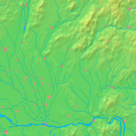
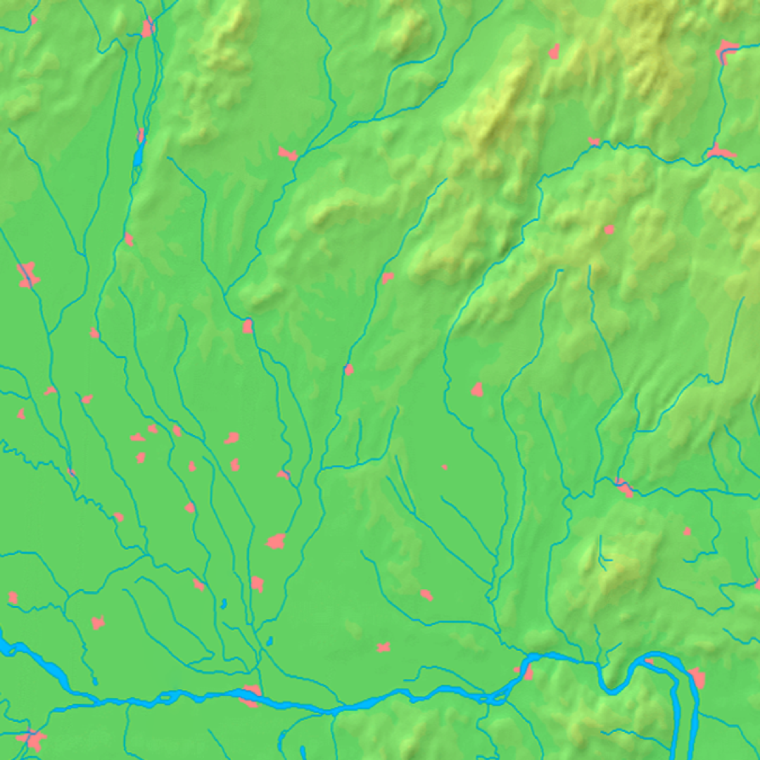
 Location of Okoličná na Ostrove in the Nitra Region
Wikimedia Commons: Okoličná na Ostrove Statistics: MOŠ/MIS Okoličná na Ostrove (Hungarian: Ekel, Hungarian pronunciation:[’ɛkɛl]) is a village and municipality in the Komárno District in the Nitra Region of south-west Slovakia.
Contents
History
In historical records the village was first mentioned in 1229.
Geography
The village lies at an altitude of 113 metres and covers an area of 29.89 km². It has a population of about 1435 people.
Demographics
The village is about 89% Hungarian, and 11% Slovak.
Facilities
The village has a public library a gym and a football pitch.

Bajč · Bátorove Kosihy · Bodza · Bodzianske Lúky · Brestovec · Búč · Čalovec · Číčov · Dedina Mládeže · Dulovce · Holiare · Chotín · Imeľ · Iža · Kameničná · Klížska Nemá · Kravany nad Dunajom · Lipové · Marcelová · Martovce · Moča · Modrany · Mudroňovo · Nesvady · Okoličná na Ostrove · Patince · Pribeta · Radvaň nad Dunajom · Sokolce · Svätý Peter · Šrobárová · Tôň · Trávnik · Veľké Kosihy · Virt · Vrbová nad Váhom · Zemianska Olča · Zlatná na Ostrove
Categories:- Villages and municipalities in the Komárno District
- Nitra Region geography stubs


Wikimedia Foundation. 2010.