- Zlatná na Ostrove
-
Zlatná na Ostrove Csallóközaranyos Village 
Country Slovakia Region Nitra District Komárno Elevation 120 m (394 ft) Coordinates 47°46′N 17°58′E / 47.767°N 17.967°E Area 35.3 km2 (14 sq mi) Population 2,558 (2004-12-31) Density 72 / km2 (186 / sq mi) First mentioned 1267 Postal code 946 12 Car plate KN 

 Location of Zlatná na Ostrove in Slovakia
 Location of Zlatná na Ostrove in the Nitra Region
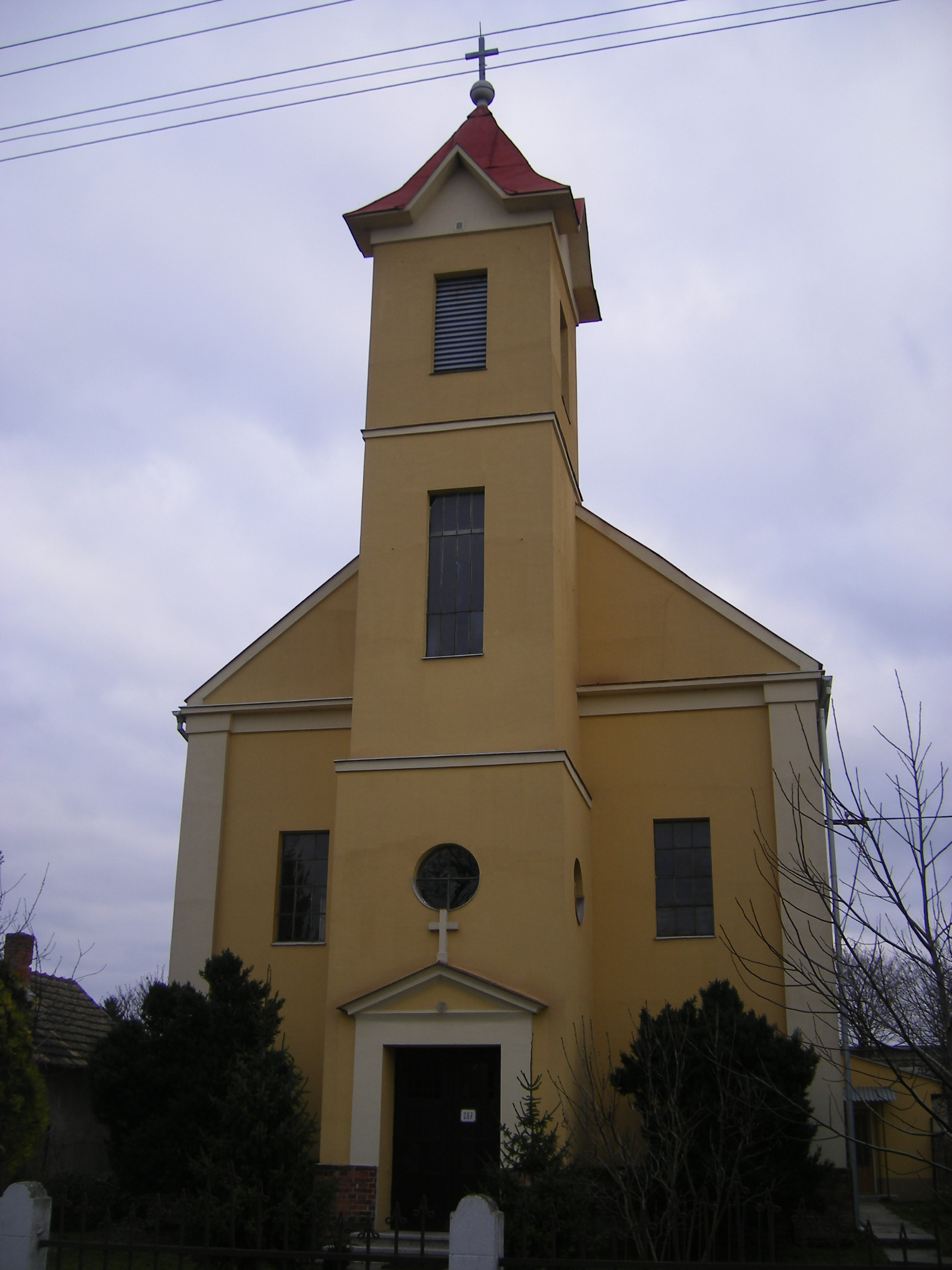
Wikimedia Commons: Zlatná na Ostrove Statistics: MOŠ/MIS Zlatná na Ostrove (Hungarian: Csallóközaranyos, Hungarian pronunciation:[’tʃɒlːoːkøzɒrɒɲoʃ]) is a village and municipality in the Komárno District in the Nitra Region of south-west Slovakia.
Contents
History
In historical records the village was first mentioned in 1267.
Geography
The village lies at an altitude of 120 metres and covers an area of 35.407 km². It has a population of about 2555 people.
Ethnicity
The village is about 91% Hungarian, 8% Slovak with minorities.
Facilities
The village has a public library and a football pitch.

Bajč · Bátorove Kosihy · Bodza · Bodzianske Lúky · Brestovec · Búč · Čalovec · Číčov · Dedina Mládeže · Dulovce · Holiare · Chotín · Imeľ · Iža · Kameničná · Klížska Nemá · Kravany nad Dunajom · Lipové · Marcelová · Martovce · Moča · Modrany · Mudroňovo · Nesvady · Okoličná na Ostrove · Patince · Pribeta · Radvaň nad Dunajom · Sokolce · Svätý Peter · Šrobárová · Tôň · Trávnik · Veľké Kosihy · Virt · Vrbová nad Váhom · Zemianska Olča · Zlatná na Ostrove
Categories:- Villages and municipalities in the Komárno District
- Nitra Region geography stubs


Wikimedia Foundation. 2010.