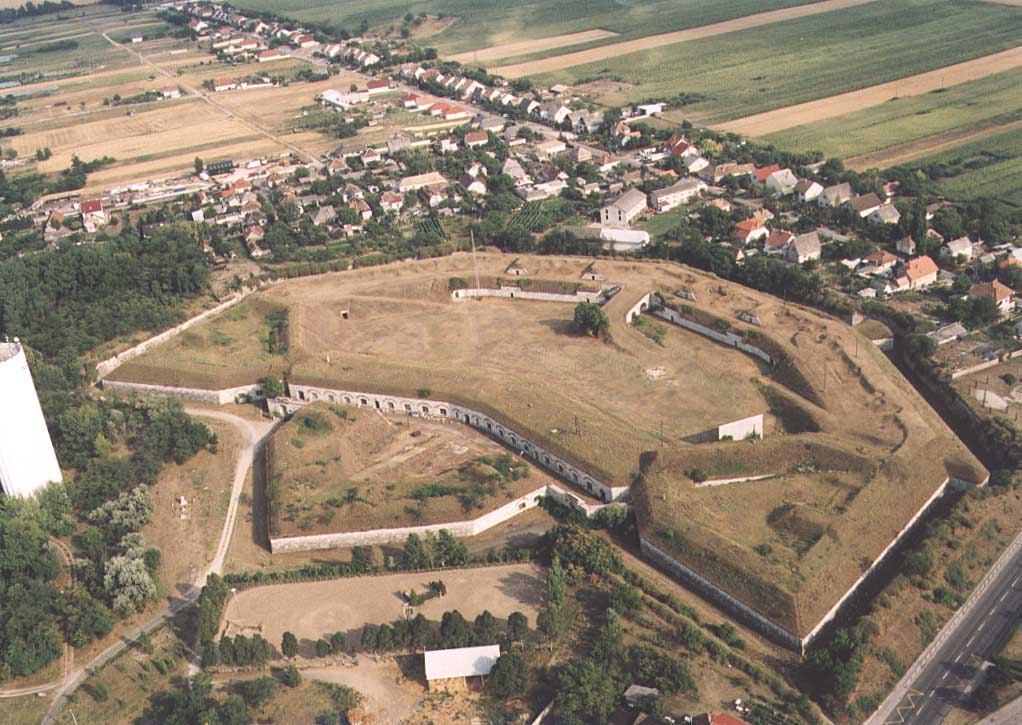
- Komárom
Infobox Settlement

image_caption = Komárom Fortress
subdivision_type = Country
subdivision_name = HUN
timezone=CET
utc_offset=+1
timezone_DST=CEST
utc_offset_DST=+2
pushpin_
pushpin_label_position =
pushpin_map_caption =Location of Komárom
pushpin_mapsize =
official_name=Komárom
subdivision_type1=County
subdivision_name1=Komárom-Esztergom
area_total_km2=70.2
population_total=19704
population_as_of=2004
population_density_km2=280.68
postal_code_type=Postal code
postal_code=2900
area_code=34
latd=47.73576
longd=18.15296Komárom (Croatian: "Komoran", German: "Komorn", Serbian: "Komoran" or "Коморан") is a city in
Hungary on the right bank of theDanube inKomárom-Esztergom county. [The fortress played an important role in theHungarian Revolution of 1848 andmany contemporary English sources refer to it as the Fortress of Comorn (eg. George Ripley, Charles Anderson. "The New American Cyclopaedia", D. Appleton and Company, 1860. [http://books.google.co.uk/books?id=iiXQ4MK_9nsC&pg=PA363&lpg=PA363&dq=Battle+of+K%C3%A1polna+Comorn&source=web&ots=uAg8CfinB_&sig=Gp0IOFGzNb_ig4FCIlFKdj4HIWw&hl=en&sa=X&oi=book_result&resnum=1&ct=result#PPA362,M1 p. 362] )]The city of Komárom was formerly a separate suburban village called "Újszőny". It was unified with the historical city of Komárom on the left bank of the Danube only in 1896. The city center was cut by the newly created border of
Czechoslovakia in 1918 (the Czechoslovak part - now Slovak part - holds the nameKomárno ), and the development of the southern part only really began at that time.See also
*
Komárno
*Komárom county Notes and references
External links
* [http://www.komarom.hu/ Official site]
* [http://www.civertan.hu/legifoto/legifoto.php?page_level=322 Aerial photography: Komárom]
Wikimedia Foundation. 2010.

