- North Rocks, New South Wales
-
North Rocks
Sydney, New South Wales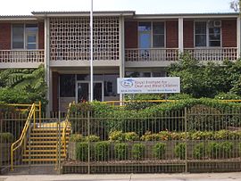
Royal Institute for Deaf and Blind ChildrenPopulation: 7,234 (2006 census) Postcode: 2151 Location: 26 km (16 mi) north-west of Sydney CBD LGA: The Hills Shire State District: Baulkham Hills
Castle HillFederal Division: Berowra
Mitchell
ParramattaSuburbs around North Rocks: Baulkham Hills West Pennant Hills West Pennant Hills Northmead North Rocks Carlingford Northmead North Parramatta Oatlands North Rocks is a suburb of Sydney, in the state of New South Wales, Australia. North Rocks is located 26 kilometres north-west of the Sydney central business district in the local government area of The Hills Shire, in the Hills District.
Contents
History
The name "North Rocks" dates back to the beginning of the settlement at Parramatta and is older even than the name of the city itself, which at first was called Rosehill. In 1789 Governor Phillip reserved large areas to the north and west of Rosehill for the use of Government stock - the present Northmead and Westmead. The reserve to the north was described as extending as far as 'the North Rocks'. The area was also known as Jerusalem Rocks.[1]
The North Rocks were a massive sandstone outcrop, which terminated the ridge on the south side of Hunts Creek. These rocks so dominated the landscape and were such prominent features that they gave their name to the locality but were not preserved. In 1841 when it was decided to build a new gaol at Parramatta, a shrewd contractor bought the Rocks as they consisted of the best sandstone in the district - and were very conveniently situated. His tender was accepted, and much of the North Rocks became gaol walls and flagstones in 1844. Further inroads were made on what was left when the wall of masonry was erected in 1855-56 which held back the waters of Lake Parramatta. Much stone was needed for the dam, as the wall is about 240 feet (73 m) long and is fifteen feet through at the base.[2]
Commercial area
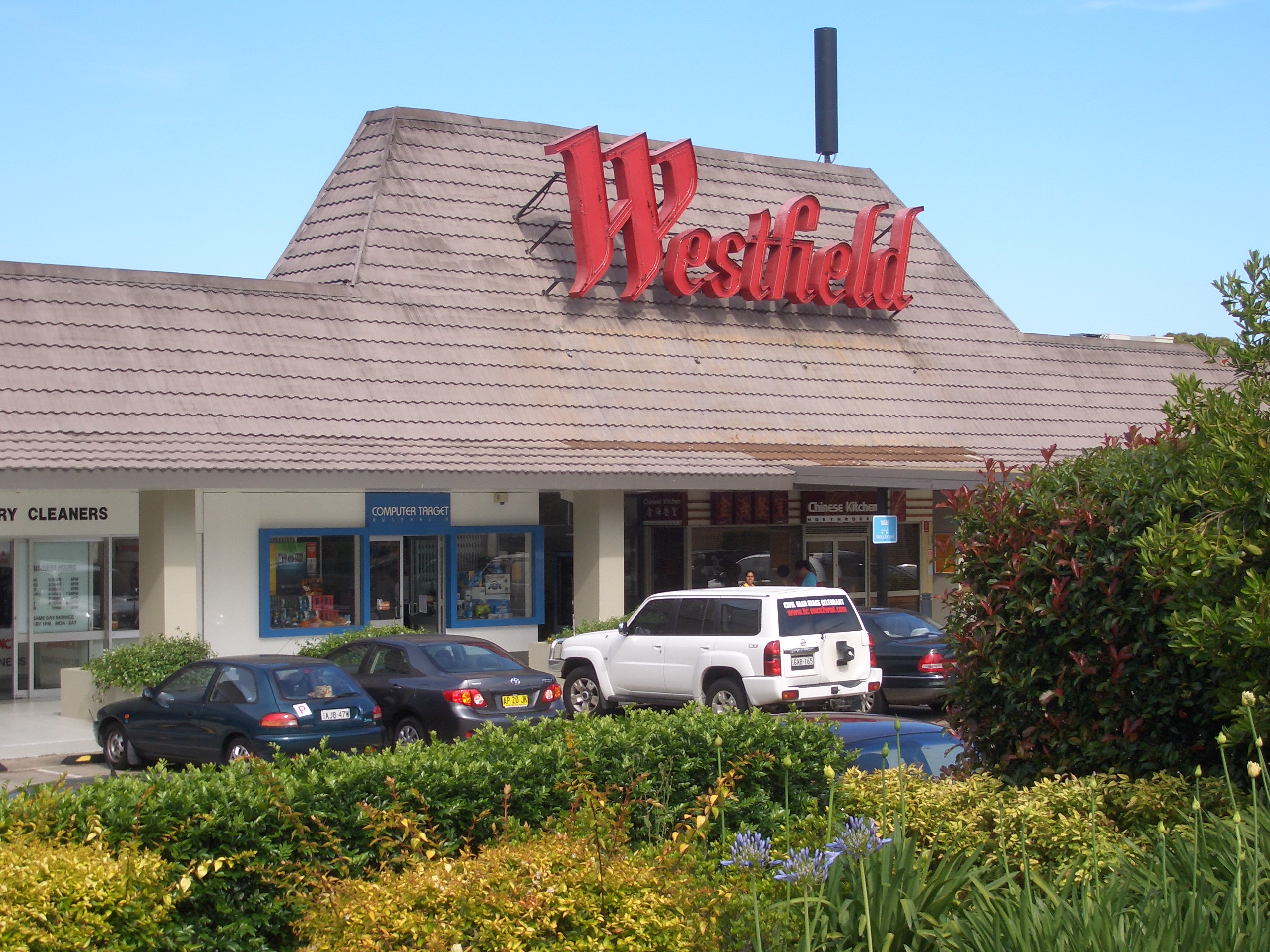
 Westfield North Rocks
Westfield North Rocks and the Royal Institute for Deaf and Blind Children school are located around North Rocks Road. The shopping centre features a Franklins and a Coles Supermarket and Kmart discount department store and specialty shops. Beside the shopping centre is a new development featuring an Aldi supermarket, Reject Shop,First Choice Liquor and Nando's Restaurant. A small group of shops is also located on the opposite side, around the intersection of North Rocks Road and Lawndale Avenue.
There is a light industrial area towards North Parramatta, which includes industrial businesses such as Unilever and Rexona.
Schools
Public
- North Rocks Public School(which has an Opportunity Class) [3];
- Burnside Public School[4];
- Muirfield High School [5] is a comparatively small high school with around 700 students.
Private
- Christ the King School[6];
- The King's School;
- Tara Anglican School for Girls.
Tertiary Education
- United Theological College.[7]
-
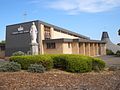
Christ the King School
-

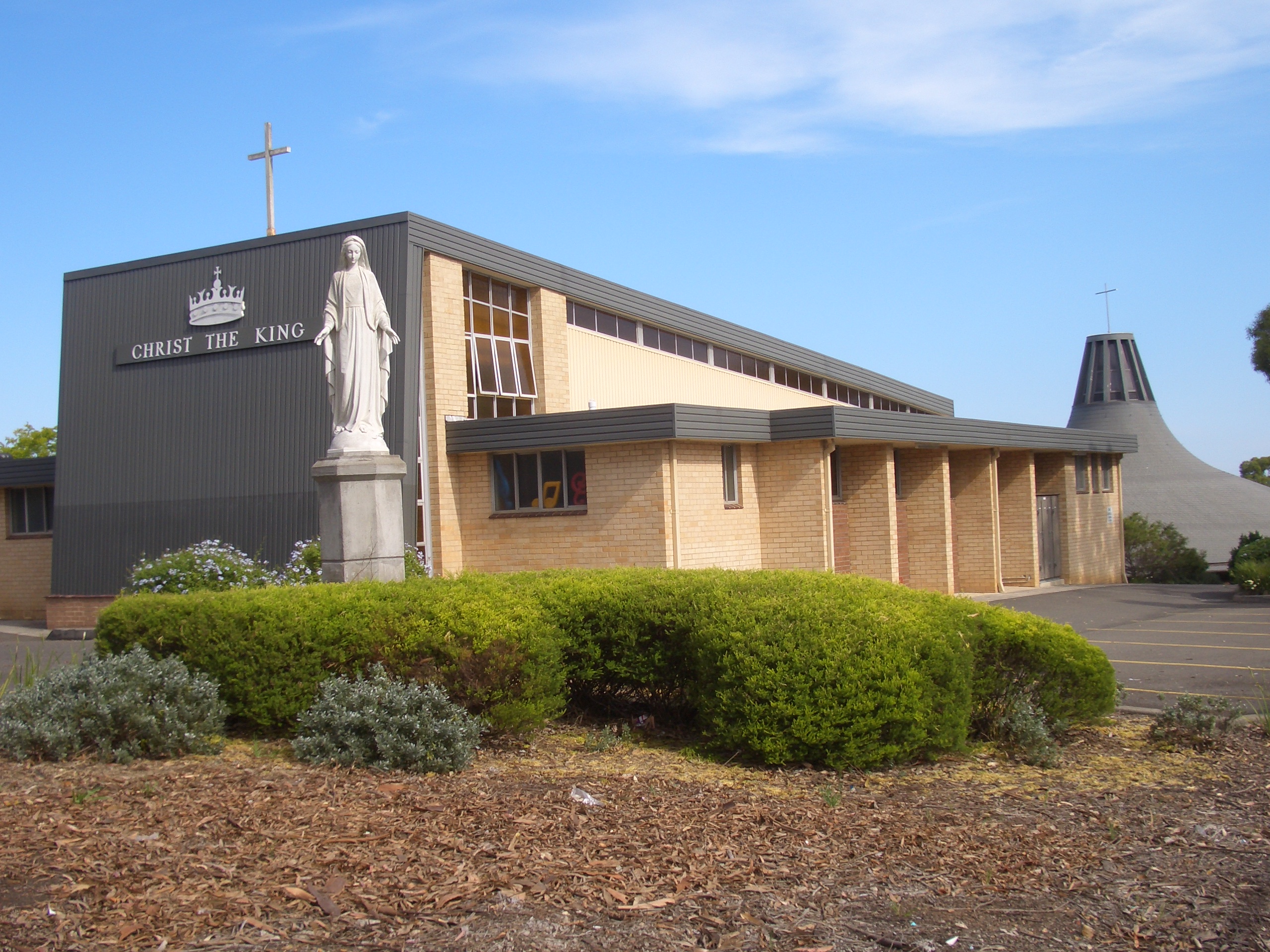
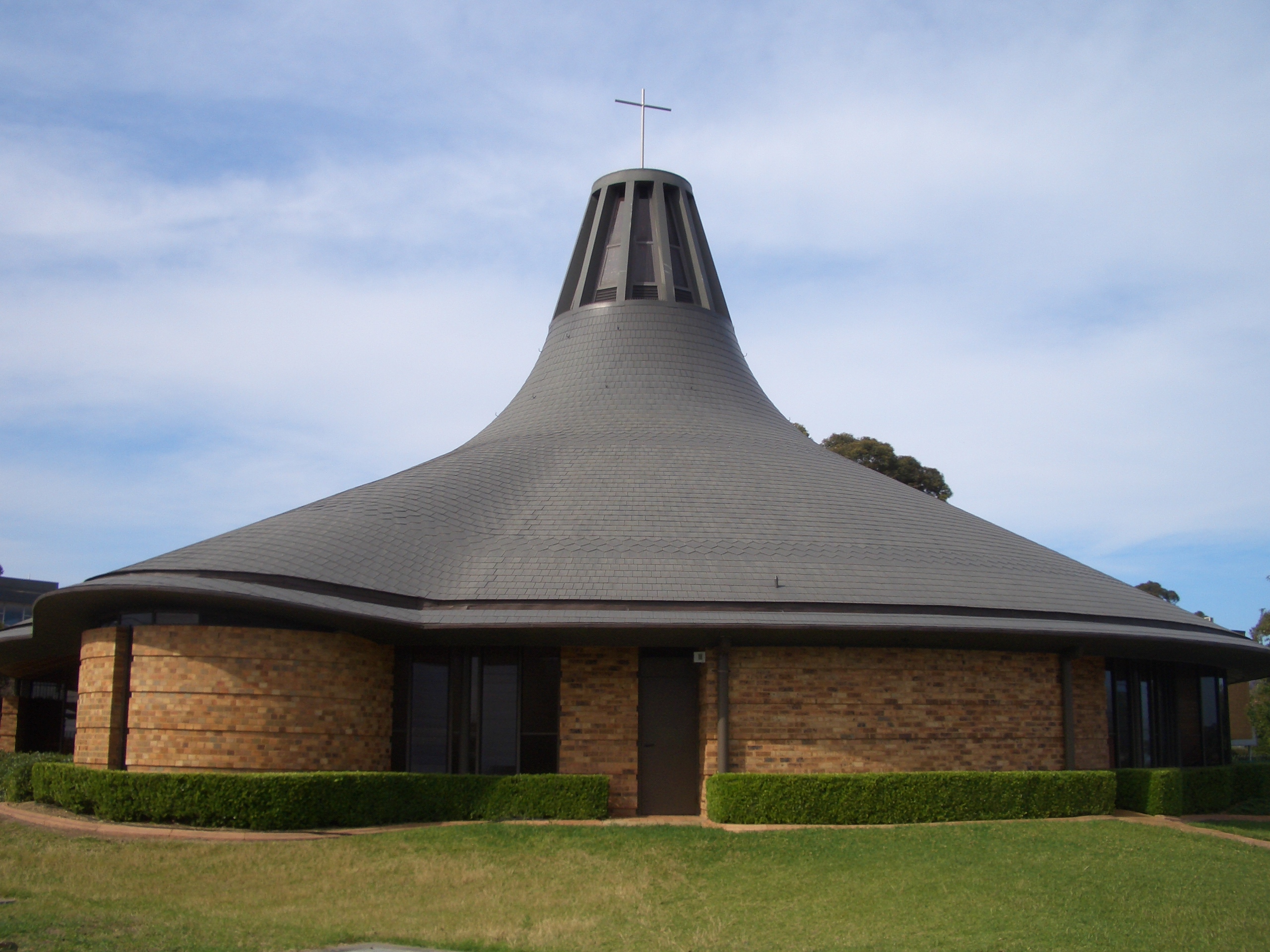
Christ the King Church
Churches
- Liberty Baptist Church [8]
- North Rocks Anglican Church [Anglican Church] [9]
- Christ the King [Catholic Church] [10]
- North Rocks Community Church [Uniting Church] [11]
Transport
The M2 Hills Motorway runs through North Rocks, and there is close access to this road from neighbouring suburbs. Public transport to, from and throughout the area is provided by bus, with train stations accessible from nearby Epping and Parramatta. The Barclay Road M2 Bus Station provides fast, frequent services to the City and Castle Hill 7 days a week via Route 610. Sydney Buses routes 549 and 546 provide links from Parramatta railway station to Epping railway station through different parts of North Rocks, although both converge at North Rocks Westfield shopping centre. There is also currently on trial route 553 from North Rocks Westfield shopping centre to Beecroft railway station running on a trial basis on weekdays via the Oakes Rd M2 bus station.
Sport and recreation
Public services in the suburb include a number of large reserves, sporting facilities, a community centre, and a number of schools, and an active Rotary and Lions clubs as well as Boy scout & Girl scout associations. North Rocks also boasts an 18 hole competition Golf Course and club facilities. The North Rocks Softball Club which is part of the Hornsby District Softball Association. There is also a local soccer and rugby club.
Population
Demographics
Australian Bureau of Statistics data from the 2006 census records the population of North Rocks as 7,234 residents, with 3,525 males and 3,709 females.[12] The median age of people in North Rocks was 40, compared with 37 for the whole of Australia.[12]
Country of birth In the 2006 Census, 90% of people living in North Rocks were Australian citizens.[12] 67.4% of people were born in Australia, with 3.8% born in China, 3.4% in England, 2% in Hong Kong, 1.7% in the Republic of Korea, and 1.6% in New Zealand.[12]
Languages In the 2006 Census, 72.7% of people only spoke English at home, while 5.9% spoke Cantonese, 4% spoke Mandarin, 2.2% spoke Korean, 1.9% spoke Arabic and 1% spoke Italian.[12]
Religion In the 2006 Census, 31% of people identify themselves as Catholic, 20.1% of people are Anglican, 14.6% have no religion, 7.6% belong to the Uniting Church and 3.7% belong to the Presbyterian and Reformed Church.[12]
References
- ^ The Book of Sydney Suburbs, Compiled by Frances Pollon, Angus & Robertson Publishers, 1990, Published in Australia ISBN 0-207-14495-8, page 189
- ^ The Book of Sydney Suburbs, Compiled by Frances Pollon, Angus & Robertson Publishers, 1990, Published in Australia ISBN 0-207-14495-8, page 201
- ^ North Rocks Public School
- ^ Burnside Public School
- ^ Muirfield High School
- ^ Christ the King School
- ^ United Theological College
- ^ Liberty Baptist Church
- ^ North Rocks Anglican Church
- ^ Christ the King Church
- ^ North Rocks Community Church
- ^ a b c d e f Australian Bureau of Statistics (25 October 2007). "North Rocks (State Suburb)". 2006 Census QuickStats. http://www.censusdata.abs.gov.au/ABSNavigation/prenav/LocationSearch?collection=Census&period=2006&areacode=SSC11733&producttype=QuickStats&breadcrumb=PL&action=401. Retrieved 2007-09-08.
External links
- North Rocks, New South Wales is at coordinates 33°46′34″S 151°01′11″E / 33.77607°S 151.01984°ECoordinates: 33°46′34″S 151°01′11″E / 33.77607°S 151.01984°E
Australian Bureau of Statistics (25 October 2007). "North Rocks (State Suburb)". 2006 Census QuickStats. http://www.censusdata.abs.gov.au/ABSNavigation/prenav/LocationSearch?collection=Census&period=2006&areacode=SSC11733&producttype=QuickStats&breadcrumb=PL&action=401. Retrieved 2007-09-08.
Suburbs and localities within The Hills Shire · Hills District · Western Sydney · Sydney Annangrove · Baulkham Hills · Beaumont Hills · Bella Vista · Box Hill · Burnside · Carlingford · Castle Hill · Cattai · Crestwood · Glenhaven · Glenorie · Hillside · Kellyville · Kenthurst · Maroota · South Maroota · Middle Dural · Nelson · North Rocks · Oatlands · Rogans Hill · Rouse Hill · Sackville North · West Pennant Hills
Categories:- Suburbs of Sydney

Wikimedia Foundation. 2010.