- Nova Scotia Trunk 4
-

Trunk 4 is part of the Canadian province of Nova Scotia's system of Trunk Highways. The route runs from Highway 104 exit 7 at Thompson Station to Glace Bay. Until the construction of the Trans-Canada Highway, Trunk 4 was a major traffic link in northern Nova Scotia and Cape Breton Island, and is still used on Cape Breton as an alternative to Highway 105.
Contents
Route description
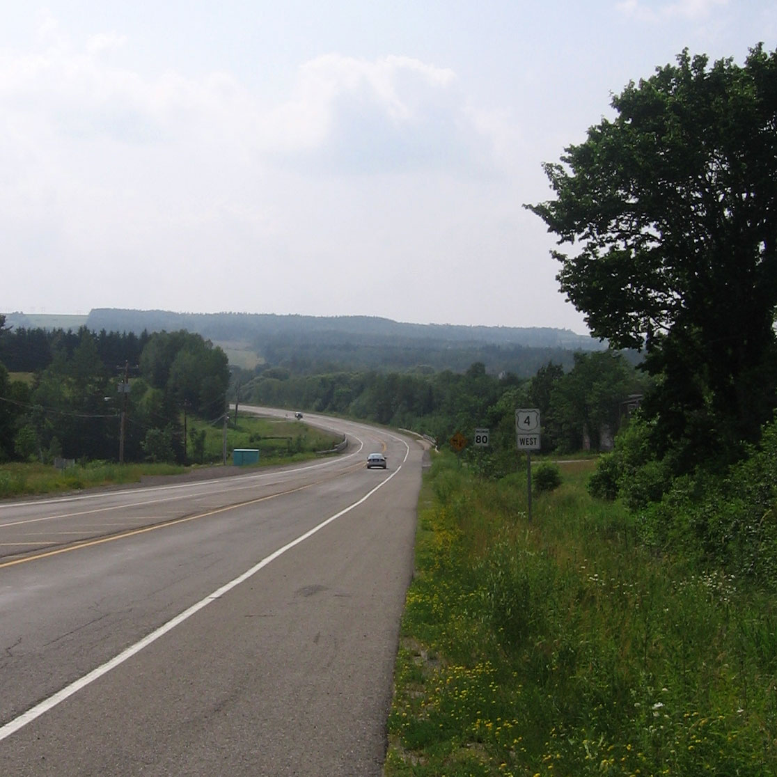
 Trunk 4 outside Alma. This section was formerly part of the Trans Canada Highway.
Trunk 4's western terminus is presently at Highway 104 Exit 7 in Thomson Station, near Oxford. From there, the route uses the old Highway 104 through the Wentworth Valley to join with Trunk 2 in Glenholme, near the mouth of the Folly River. Between Glenholme and Truro, Trunk 4 runs with Trunk 2 with signage. It continues in Bible Hill, where it uses the Pictou Road and another former Highway 104 routing through Mount Thom and Alma, and another Highway 104 section in Kemptown. East of Alma Trunk 4 continues along Westville Road through Downtown in New Glasgow. Trunk 4 continues eastward from downtown New Glasgow, closely following Highway 104 through Antigonish to the Canso Causeway, breaking up in four more places where no Highway 104 bypass has been constructed.
On the east side of the Canso Causeway at Port Hastings, Trunk 4 continues to the east through Port Hawkesbury and St. Peter's, along the south shore of Cape Breton Island. The route turns northeast along the eastern shore of Bras d'Or Lake through Big Pond and Ben Eoin to the lake's edge, then continuing northeast along the east bank of the Sydney River to Sydney, where it is known as Kings Road. In downtown Sydney, Trunk 4 turns east, using Welton Street (which becomes Grand Lake Road) to leave the city, passing Cape Breton University, J.A. Douglas McCurdy Sydney Airport and the community of Reserve Mines. Trunk 4 enters Glace Bay on Reserve Street, turning east along Union Street and ending downtown at the intersection of Union and Commercial Streets. From St. Peter's to Sydney the road is often referred to as the "Number 4" and as the Sydney-Glace Bay Highway between those two communities.
History
Trunk 4 formerly started at the New Brunswick border in Amherst. In the early years of the Trans-Canada Highway system, Trunk 4 was the designated TCH route in mainland Nova Scotia. When controlled-access sections of Highway 104 were first built in the late 1960s, the number replaced Trunk 4 entirely west of New Glasgow. As four-lane sections of Highway 104 were built in the late 1990s, the number 4 was again used to mark the former Mount Thom and Wentworth Valley sections of 104.
See also
External links
References
Preceded by
 Hwy 104 (TCH)
Trunk 4
Nova ScotiaSucceeded by
 Trunk 28Route 255
Roads and highways in Nova Scotia 100-series Trunk Routes Collector roads 201 · 202 · 203 · 204 · 205 · 206 · 207 · 208 · 209 · 210 · 211 · 212 · 213 · 214 · 215 · 216 · 217 · 219 · 221 · 223 · 224 · 236 · 239 · 242 · 245 · 246 · 247 · 252 · 253 · 255 · 256 · 276 · 277 · 289 · 301 · 302 · 303 · 304 · 305 · 306 · 307 · 308 · 309 · 311 · 312 · 316 · 318 · 320 · 321 · 322 · 324 · 325 · 326 · 327 · 328 · 329 · 330 · 331 · 332 · 333 · 334 · 335 · 336 · 337 · 340 · 341 · 344 · 347 · 348 · 349 · 354 · 357 · 358 · 359 · 360 · 362 · 366 · 368 · 374 · 376 · 395Scenic routes Categories:- Nova Scotia provincial highways
- Roads in Cumberland County, Nova Scotia
- Roads in Colchester County, Nova Scotia
- Roads in Pictou County, Nova Scotia
- Roads in Antigonish County, Nova Scotia
- Roads in Guysborough County, Nova Scotia
- Roads in Inverness County, Nova Scotia
- Roads in Richmond County, Nova Scotia
- Roads in the Cape Breton Regional Municipality

Wikimedia Foundation. 2010.