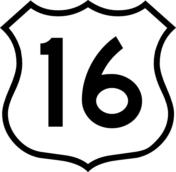
- Nova Scotia Trunk 16
-

Trunk 16 is part of the Canadian province of Nova Scotia's system of trunk highways. The road runs from an intersection with Trunk 4 in Monastery to Canso, a distance of 79 kilometres.
From Monastery, Trunk 16 follows the Tracadie River south to Boylston, where it crosses the Milford Haven River. The road then runs along the west bank of the river to its mouth at Guysborough, where it continues eastward along the coast of Chedabucto Bay to the road's end in Canso.
Reference
Preceded by

 Hwy 104 (TCH) / Trunk 4
Trunk 16
Nova ScotiaSucceeded by
Union Street CansoRoads and highways in Nova Scotia 100-series Trunk Routes Collector roads 201 · 202 · 203 · 204 · 205 · 206 · 207 · 208 · 209 · 210 · 211 · 212 · 213 · 214 · 215 · 216 · 217 · 219 · 221 · 223 · 224 · 236 · 239 · 242 · 245 · 246 · 247 · 252 · 253 · 255 · 256 · 276 · 277 · 289 · 301 · 302 · 303 · 304 · 305 · 306 · 307 · 308 · 309 · 311 · 312 · 316 · 318 · 320 · 321 · 322 · 324 · 325 · 326 · 327 · 328 · 329 · 330 · 331 · 332 · 333 · 334 · 335 · 336 · 337 · 340 · 341 · 344 · 347 · 348 · 349 · 354 · 357 · 358 · 359 · 360 · 362 · 366 · 368 · 374 · 376 · 395Scenic routes Categories:- Nova Scotia provincial highways
- Roads in Antigonish County, Nova Scotia
- Roads in Guysborough County, Nova Scotia
- Nova Scotia road stubs
Wikimedia Foundation. 2010.