- Nova Scotia Route 217
-
Route 217
Route information Maintained by Nova Scotia Department of Transportation and Infrastructure Renewal Length: 64 km[1] (39.8 mi) Major junctions West end: Ferry crossing in Freeport East end:  Route 303 in Digby
Location Counties: Digby Highway system Provincial highways in Nova Scotia
←  Route 216
Route 219  →
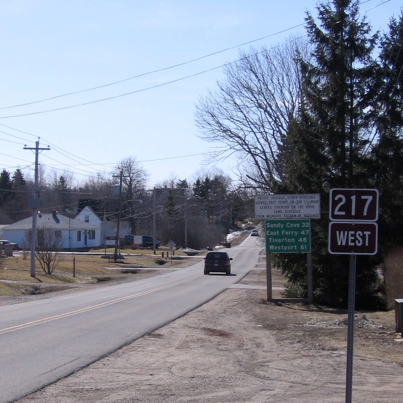
→ Nova Scotia Route 217 outside Digby, Nova Scotia
Route 217 is a collector road in the Canadian province of Nova Scotia.
It is located in Digby County and connects the Brier Island ferry terminal at Freeport with Digby at Route 303.
It traverses the Digby Neck peninsula, as well as Long Island. In order to cross between the island and the peninsula, travelers must use a ferry between Tiverton and East Ferry.
Highway 217 was formerly designated Trunk Highway 17.
Contents
Communities
Communities in italics are served by the route indirectly.
- Westport (Route 217 does not directly serve this community as Brier Island does not have any numbered roads.)
- Freeport
- Central Grove
- Gilberts Landing
- Tiverton
- East Ferry
- Tiddville
- Little River
- Mink Cove
- Sandy Cove
- Lake Midway
- Centreville
- Waterford
- Rossway
- Gullivers Cove
- Roxville
- Seabrook
- Digby
See also
References
- ^ Atlantic Canada Back Road Atlas ISBN 978-1-55368-618-7 Pages 76-77
External links
Roads and highways in Nova Scotia 100-series Trunk Routes Collector roads 201 · 202 · 203 · 204 · 205 · 206 · 207 · 208 · 209 · 210 · 211 · 212 · 213 · 214 · 215 · 216 · 217 · 219 · 221 · 223 · 224 · 236 · 239 · 242 · 245 · 246 · 247 · 252 · 253 · 255 · 256 · 276 · 277 · 289 · 301 · 302 · 303 · 304 · 305 · 306 · 307 · 308 · 309 · 311 · 312 · 316 · 318 · 320 · 321 · 322 · 324 · 325 · 326 · 327 · 328 · 329 · 330 · 331 · 332 · 333 · 334 · 335 · 336 · 337 · 340 · 341 · 344 · 347 · 348 · 349 · 354 · 357 · 358 · 359 · 360 · 362 · 366 · 368 · 374 · 376 · 395Scenic routes Coordinates: 44°35′24″N 65°53′31″W / 44.590°N 65.892°W
Categories:- Nova Scotia provincial highways
- Roads in Digby County, Nova Scotia
- Nova Scotia road stubs

Wikimedia Foundation. 2010.