- Nova Scotia Trunk 10
-
Trunk 10
Route information Length: 89 km (55 mi) Highway system Trunk 10 is part of the Canadian province of Nova Scotia's system of Trunk Highways. This rural road runs from Bridgewater to Middleton, a distance of 89 kilometres.
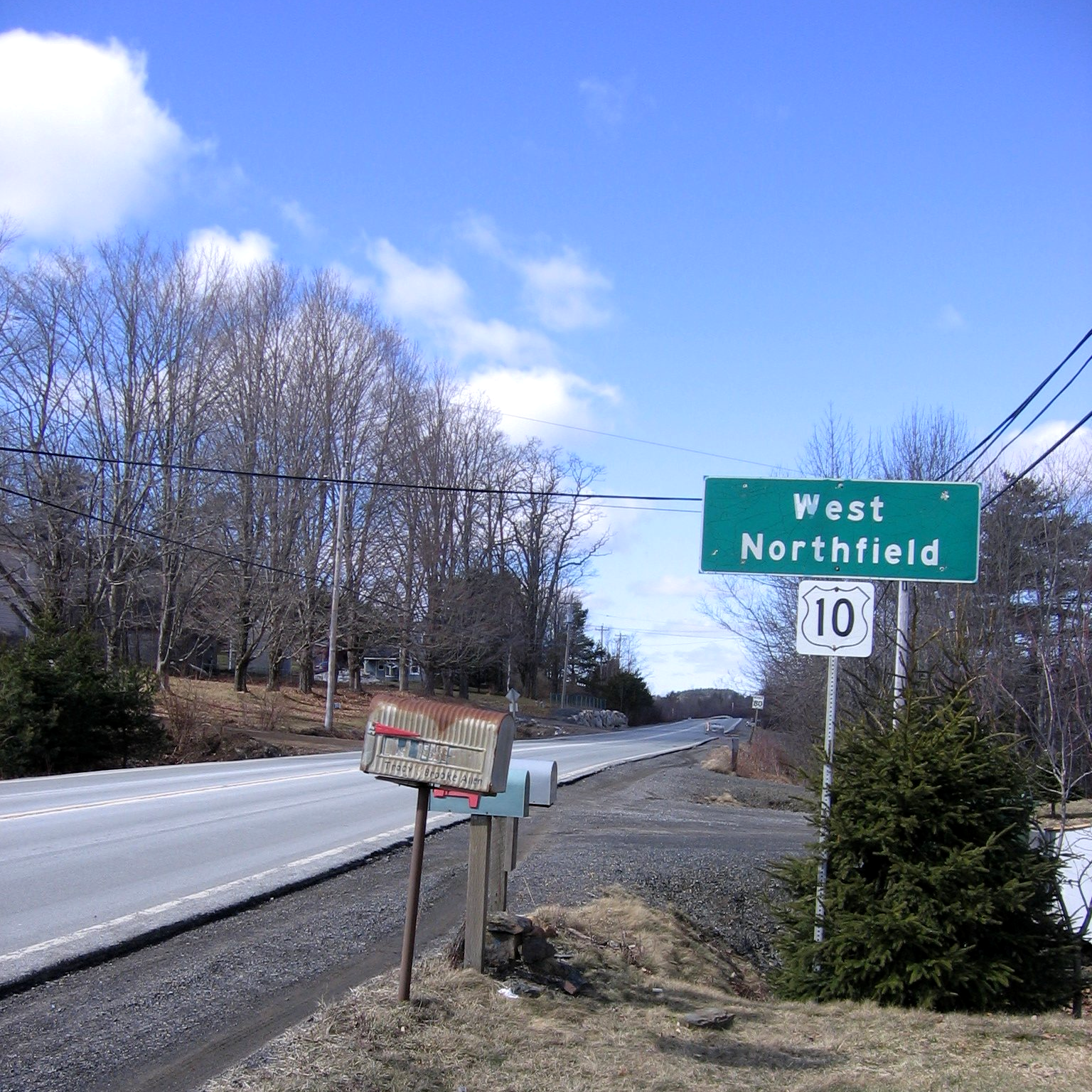
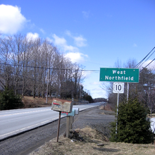 View of Route 10 as it passes through West Northfield, Lunenburg County, Nova Scotia.
From Bridgewater, Trunk 10 runs in a northwesterly direction along the east bank of the LaHave River through Northfield and the village of New Germany, crossing the river near Cherryfield at the community of Meiseners Section. The route continues northwest by lakes, forests, Christmas tree farms, and cottages and through the villages of Springfield and Albany Cross, where it turns north and follows the Nictaux River near its west bank, to the route's end in the town of Middleton.
Preceded by

 Hwy 103 / Trunk 3
Trunk 10
Nova ScotiaSucceeded by

 Hwy 101 / Trunk 1
Reference
Roads and highways in Nova Scotia 100-series Trunk Routes Collector roads 201 · 202 · 203 · 204 · 205 · 206 · 207 · 208 · 209 · 210 · 211 · 212 · 213 · 214 · 215 · 216 · 217 · 219 · 221 · 223 · 224 · 236 · 239 · 242 · 245 · 246 · 247 · 252 · 253 · 255 · 256 · 276 · 277 · 289 · 301 · 302 · 303 · 304 · 305 · 306 · 307 · 308 · 309 · 311 · 312 · 316 · 318 · 320 · 321 · 322 · 324 · 325 · 326 · 327 · 328 · 329 · 330 · 331 · 332 · 333 · 334 · 335 · 336 · 337 · 340 · 341 · 344 · 347 · 348 · 349 · 354 · 357 · 358 · 359 · 360 · 362 · 366 · 368 · 374 · 376 · 395Scenic routes - Nova Scotia's Minister of Tourism and Culture's "Doers And Dreamers, Official Highways Map"
Categories:- Nova Scotia provincial highways
- Roads in Annapolis County, Nova Scotia
- Roads in Lunenburg County, Nova Scotia
- Nova Scotia road stubs

Wikimedia Foundation. 2010.