- Nova Scotia Trunk 8
-

 Trunk 8
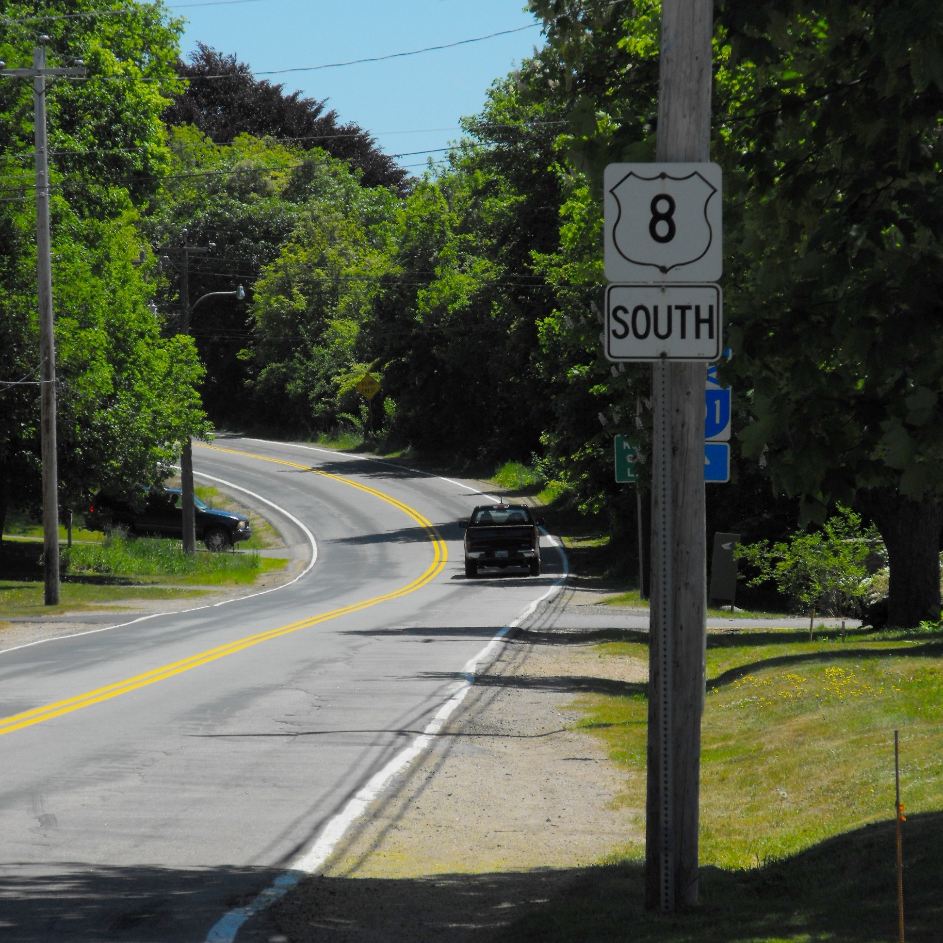
Trunk 8 is part of the Canadian province of Nova Scotia's system of Trunk Highways. The route runs from Liverpool to Annapolis Royal, a distance of 115 kilometres (71 mi). Trunk 8 is also known as the Kejimkujik Scenic Drive.
From Liverpool, Trunk 8 runs in a northwesterly direction, following the east bank of the Mersey River to Milton. North of Milton, the road leaves the river, mostly travelling through forest land, to the village of Caledonia and west to the main entrance to Kejimkujik National Park. Trunk 8 crosses the Mersey River again at Maitland Bridge, following its west bank and the shores of several lakes to Milford; where it continues northward to the village of Lequille and the town of Annapolis Royal, where the route ends.
Preceded by

 Hwy 103 / Trunk 3
Trunk 8
Nova ScotiaSucceeded by

 Hwy 101 / Trunk 1
See also
References
Roads and highways in Nova Scotia 100-series Trunk Routes Collector roads 201 · 202 · 203 · 204 · 205 · 206 · 207 · 208 · 209 · 210 · 211 · 212 · 213 · 214 · 215 · 216 · 217 · 219 · 221 · 223 · 224 · 236 · 239 · 242 · 245 · 246 · 247 · 252 · 253 · 255 · 256 · 276 · 277 · 289 · 301 · 302 · 303 · 304 · 305 · 306 · 307 · 308 · 309 · 311 · 312 · 316 · 318 · 320 · 321 · 322 · 324 · 325 · 326 · 327 · 328 · 329 · 330 · 331 · 332 · 333 · 334 · 335 · 336 · 337 · 340 · 341 · 344 · 347 · 348 · 349 · 354 · 357 · 358 · 359 · 360 · 362 · 366 · 368 · 374 · 376 · 395Scenic routes Categories:- Nova Scotia provincial highways
- Roads in Annapolis County, Nova Scotia
- Roads in the Region of Queens Municipality
- Nova Scotia road stubs

Wikimedia Foundation. 2010.