- Crovie
-
 Crovie
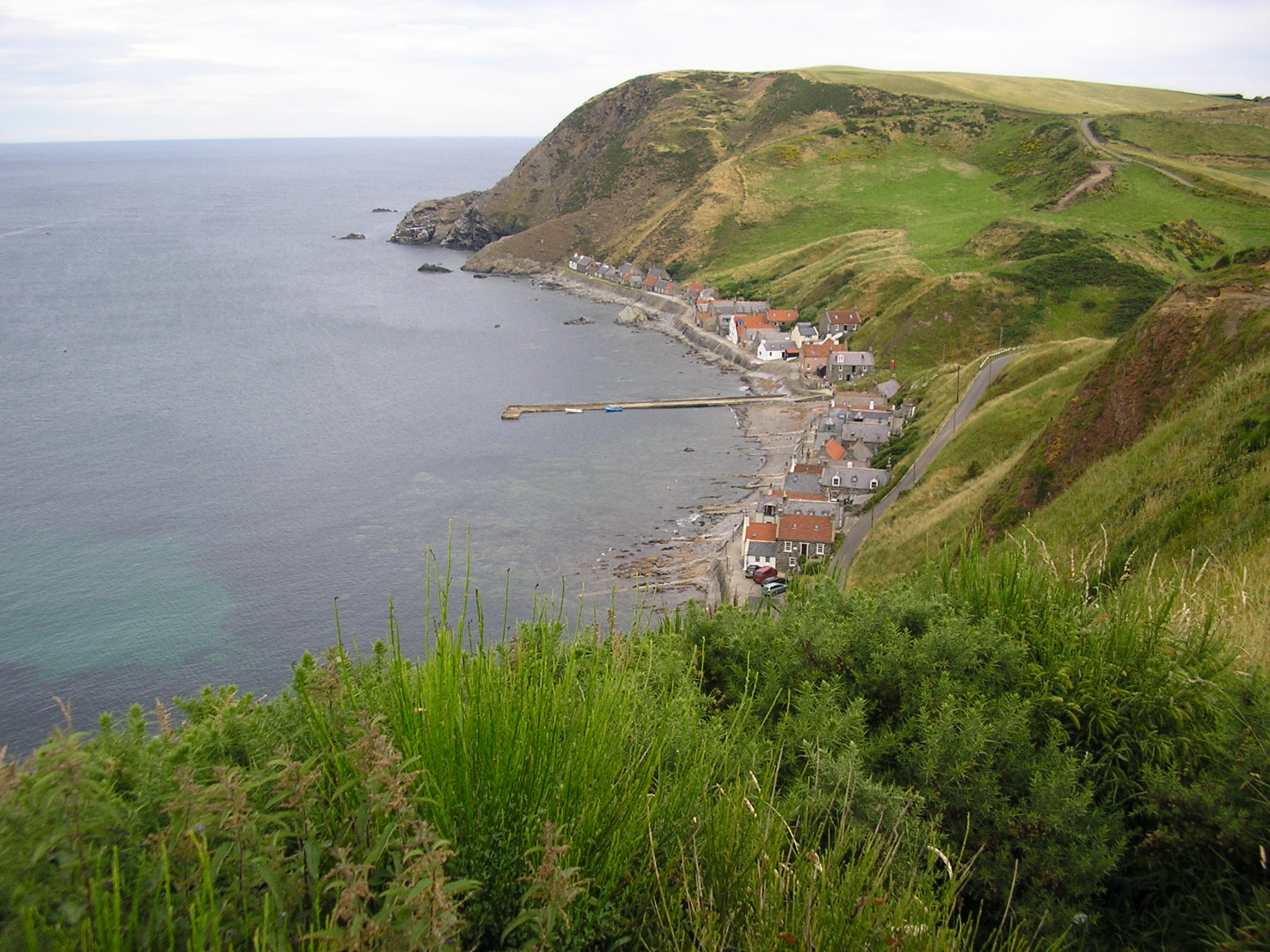
Crovie (pronounced /ˈkrɪvi/) is a small village in Aberdeenshire, Scotland, UK comprising a single row of houses. Unlike the similar neighbouring village, Pennan, Crovie is situated on such a narrow ledge that any cars have to be left at the south of the village.
History
Crovie was established by families (crofters) who had been moved off the land to make room for the landlord's sheep. Here, they operated fishing boats for the landlord and gradually acquired their own craft instead. The fishing industry declined in the 20th century before ceasing altogether with the storm of 1953, which washed away a number of structures and forced the residents to flee. Since then most of the buildings have been turned into holiday lets.
External links
- Crovie Interactive Picture
- Crovie undiscovered Scotland
- Aberdeenshire Tourist Board Crovie
- Panorama from Crovie pier (QuickTime required)
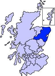
Settlements and places of interest in Banff and Buchan, Aberdeenshire Primary settlements Aberchirder · Banff · Fraserburgh · Gardenstown · Inverallochy and Cairnbulg · Macduff · Portsoy · Rosehearty · Sandhaven · Whitehills
Other settlements Boyndie · Broadsea · Cornhill · Cortes · Crovie · Fordyce · King Edward · Memsie · Netherbrae · New Aberdour · New Byth · Pennan · Sandend
Places of interest Areas and primary settlements in Aberdeenshire
(see also: Aberdeen City)in Banff and Buchan Aberchirder · Banff · Fraserburgh · Gardenstown · Inverallochy and Cairnbulg · Macduff · Portsoy · Rosehearty · Sandhaven · Whitehills
in Buchan Boddam · Crimond · Cruden Bay · Fetterangus · Hatton · Longside · Maud · Mintlaw · New Deer · New Pitsligo · Peterhead · St Combs · St Fergus · Strichen · Stuartfield
in Formartine Balmedie · Cuminestown · Ellon · Fyvie · Newburgh · Oldmeldrum · Pitmedden · Potterton · Rothienorman · Tarves · Turriff
in Garioch in Kincardine and Mearns Drumoak · Fettercairn · Gourdon · Inverbervie · Johnshaven · Laurencekirk · Newtonhill · Portlethen · St Cyrus · Stonehaven
in Marr Categories:- Aberdeenshire geography stubs
- Villages in Aberdeenshire
Wikimedia Foundation. 2010.