Moose Brook State Park — Coordinates: 44°24′28″N 71°13′50″W / 44.40778°N 71.23056°W / 44.40778; 71.23056 … Wikipedia
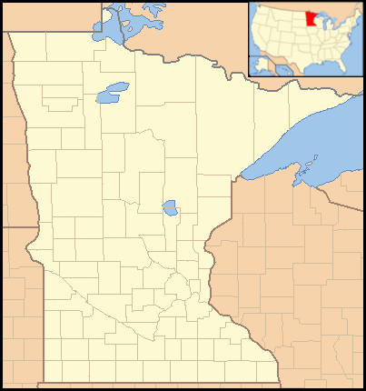
Monson Lake State Park — Coordinates: 45°19′14″N 95°16′13″W / 45.32056°N 95.27028°W / 45.32056; 95.27028 … Wikipedia
Delta Lake State Park — is a state park located on a peninsula extending from the southeast shore of Delta Lake in the Town of Western, in Oneida County, New York, USA. It is located off Route 46, southwest of Westernville. The park offers a beach, picnic tables and… … Wikipedia
Moreau Lake State Park — is a state park located in Saratoga County, New York in the USA. Located in the southwest part of Moreau, New York on US 9 off Interstate 87, the 4,100 acre (16.4 km2) park offers snowshoeing and cross country skiing in winter, swimming in… … Wikipedia
Moose Lake, Minnesota — City Downtown Moose Lake … Wikipedia
State Forest State Park — State Forest State Park … Wikipedia
Nyack Beach State Park — A path between the Palisade Sill and the Hudson Nyack Beach State Park is a 76 acre (31 ha)[1] state park in Upper Nyack, Rockland County, New York. It consists of a small parking lot and 61 acres (25 ha) … Wikipedia
Roxbury Heritage State Park — Coordinates: 42°19′49″N 71°5′26″W / 42.33028°N 71.09056°W / 42.33028; 71.09056 … Wikipedia
Demarest Lloyd State Park — Massachusetts State Park … Wikipedia
Chicopee Memorial State Park — is a Massachusetts state park located in the Burnett Road neighborhood of Chicopee. The park is managed by the Department of Conservation and Recreation. Description Chicopee Memorial State Park is a 575 acre (2.33 km2) park principally used … Wikipedia
 United States
 Minnesota
 Location of Moose Lake State Park in Minnesota