- Dereli
-
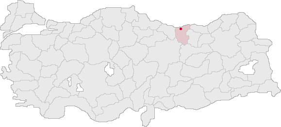
Dereli — Town — Dereli stream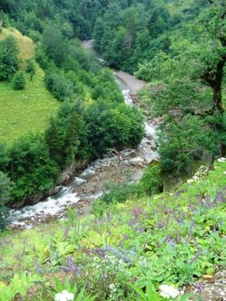 Location of Dereli within Turkey.
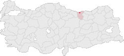
Coordinates: 40°44′N 38°26′E / 40.733°N 38.433°ECoordinates: 40°44′N 38°26′E / 40.733°N 38.433°E Country  Turkey
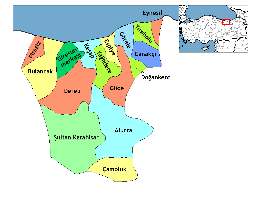
Region Black Sea Province Giresun Government - Mayor Muzaffer Karakayalı Area - Total 830 km2 (320.5 sq mi) Elevation 346 m (1,135 ft) Time zone EET (UTC+2) - Summer (DST) EEST (UTC+3) Postal code 28950 Area code(s) 0454 Licence plate 28 Dereli is a town and district of Giresun Province in the Black Sea region of Turkey. The mayor is Kazım Zeki Şenlikoğlu (AKP).
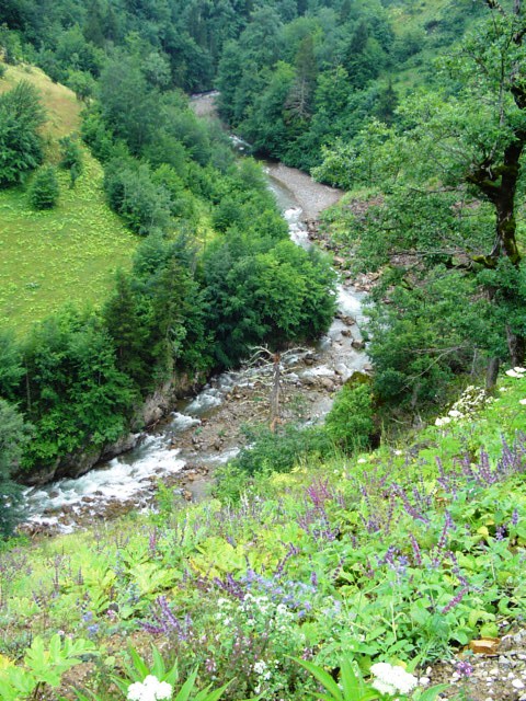
Dereli is a small town of 6,043 people in attractive countryside, in the valley of the Aksu Deresi and Akkaya River, inland 28 from Giresun on the road to Şebinkarahisar.
History
See Giresun for the history of this area, once occupied by the Hittites, Persians, Ancient Greek colonists from Miletos, Macedonians, Ancient Romans, Byzantines, Seljuk Turks, who settled in these valleys and arounds muslim Kızılbaş, Turkmen Turks (Chepni) and finally the Ottoman Empire.
Places to see
 Dereli in Giresun Province (in the Black Sea region) of Turkey
Urban districts 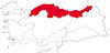
Rural districts RegionsAegean Black Sea Central Anatolia Eastern Anatolia Marmara Mediterranean Southeastern Anatolia Categories:- Districts of Giresun
- Black Sea Region
- Populated places in Giresun Province
- Black Sea Region geography stubs
Wikimedia Foundation. 2010.