- Çamoluk
Infobox Settlement
settlement_type = District
subdivision_type = Country
subdivision_name = TUR
timezone=EET
utc_offset=+2
map_caption =Location of Çamoluk within Turkey.
timezone_DST=EEST
utc_offset_DST=+3official_name = Çamoluk
image_caption =
image_blank_emblem =
blank_emblem_type =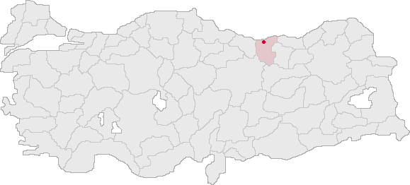
subdivision_type1=Region
subdivision_name1 = Black Sea
subdivision_type2=Province
subdivision_name2 = Giresun| population_total = 14715|population_footnotes=
population_as_of =| 2000
population_footnotes =
population_density_km2 =
area_total_km2 = 600|elevation_m = 1140|latd = 40
latm = 08
latNS = N
longd = 38
longm = 44
longEW = E
postal_code_type=Postal code
postal_code = 28710
area_code = 0454
blank_info = 28|blank_name=Licence plate
leader_title=Mayor
leader_name = Cemil Uzun
website = http://www.camoluk.net/Çamoluk is a town and a district of
Giresun Province in the Black Sea region ofTurkey .Being 180km inland, in a valley of the upper
Kelkit River Çamoluk is different in landscape, climate and lifestyle from the city ofGiresun and the other districts on theBlack Sea coast.History
The valley of the Kelkit has been a passage to the Black Sea coast for thousands of years, was once part of the
Roman Empire and from 381 the succeedingByzantine Empire .Arab invaders occupied the valley in 778 followed by early settlements of theOghuz Turks . Fighting between Turks and Byzantines continued in this corner ofAnatolia for centuries, beyond the arrival of theSeljuk Turk ish armies ofToğrül Bey in 1058, and the foundation of theEmpire of Trebizond of which Çamoluk was part. The castle was built by the Greeks of Trebizond in 1204 to defend the valley from further waves of Seljuk invaders.In 1464 Sultan
Mehmet II of theOttoman Empire came down the valley in his campaign againstŞebinkarahisar and Çamoluk was brought within the Empire.With a population of 4,192 Çamoluk is a small town today.
External districts
* [http://www.camoluk.gov.tr/ the district governor's website]
* [http://www.mycamoluk.com/ çamoluk]
* [http://www.camoluk.net/ local information]
* [http://www.camoluknet.com/ and more] *
Wikimedia Foundation. 2010.